MyTopo
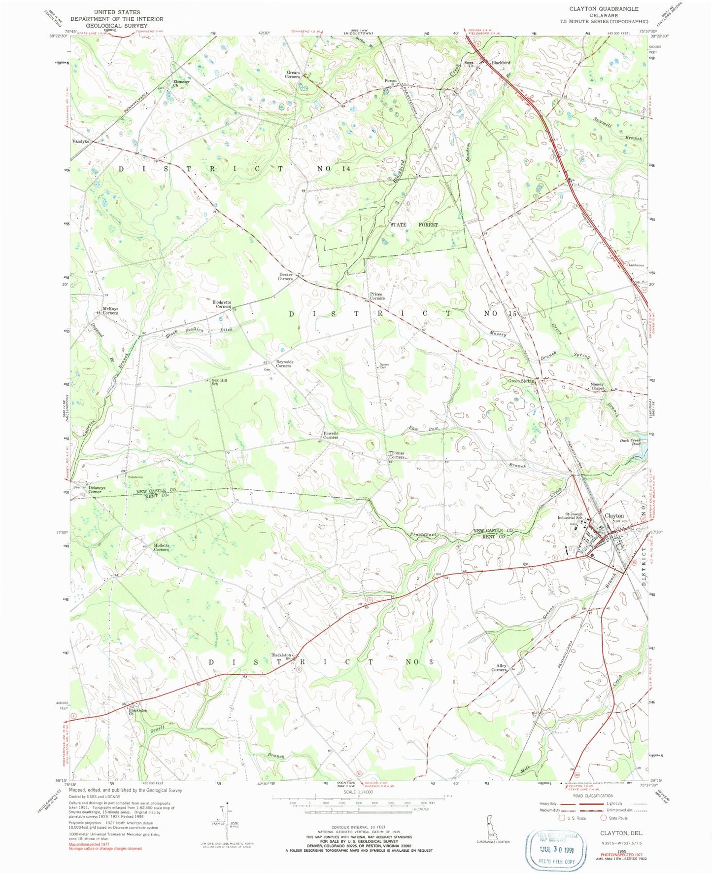
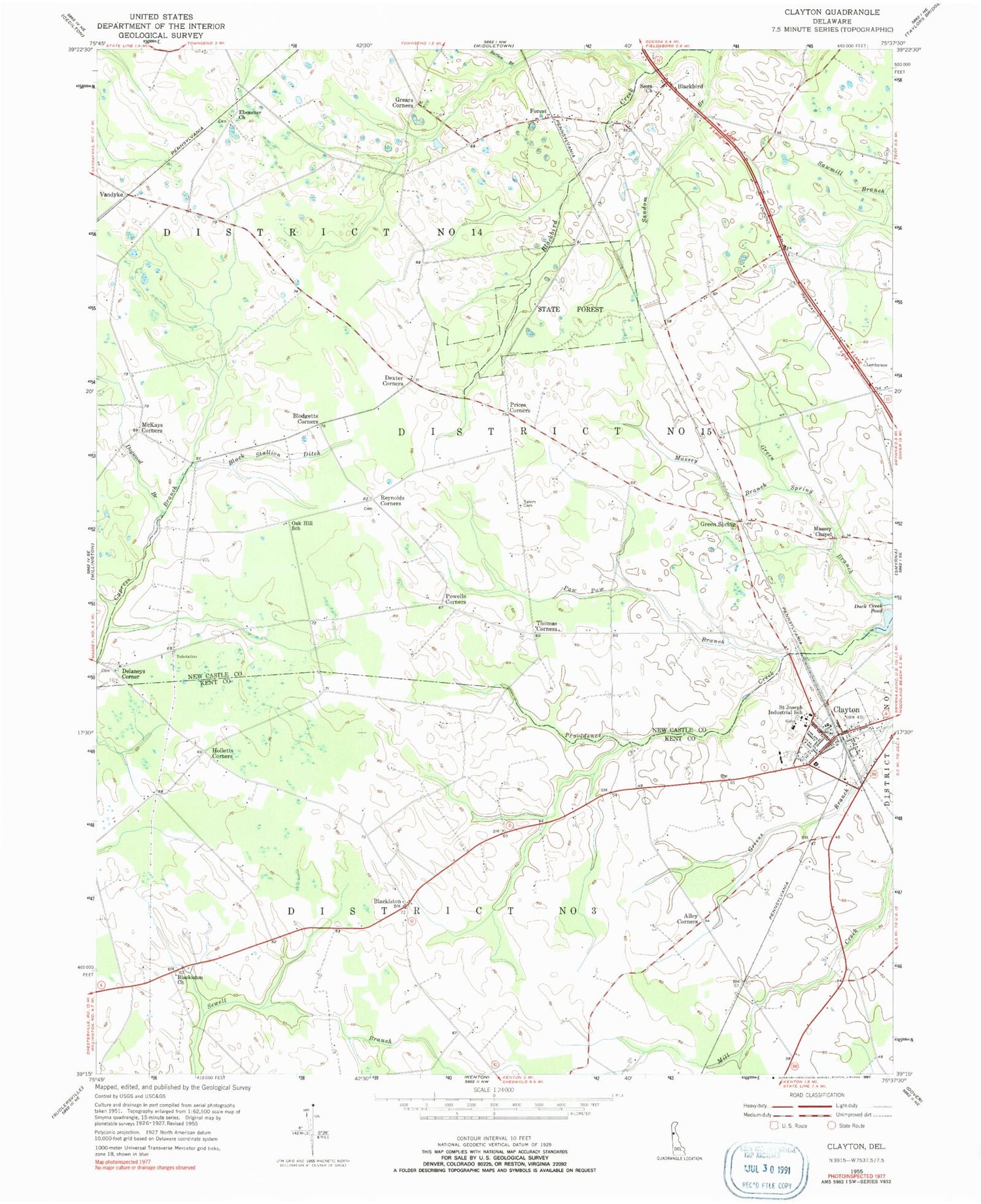
Classic USGS Clayton Delaware 7.5'x7.5' Topo Map
Couldn't load pickup availability
Historical USGS topographic quad map of Clayton in the state of Delaware. Map scale may vary for some years, but is generally around 1:24,000. Print size is approximately 24" x 27"
This quadrangle is in the following counties: Kent, New Castle.
The map contains contour lines, roads, rivers, towns, and lakes. Printed on high-quality waterproof paper with UV fade-resistant inks, and shipped rolled.
Contains the following named places: Alisa Estates, Alley Corners, Appoquinimink Hundred, Barlow Branch, Black Stallion Ditch, Blackbird, Blackbird Hundred, Blackbird Pond, Blackbird State Forest, Blackbird State Forest Tybout Tract, Blackiston, Blackiston Cemetery, Blackiston Church, Blodgetts Corners, Byrds African Methodist Episcopal Church, Cedar Brae Farm, Clayton, Clayton Elementary School, Clayton Fire Company Station 45, Clayton Police Department, Clayton Post Office, Delaney Cemetery, Delaney Corner, Delaney Methodist Church, Dexter Corners, Dogwood Branch, Duck Creek Pond, Duffy's Airport, Ebenezer Cemetery, Ebenezer Church, Enoch Jones House, Ewell's Saint Paul United Methodist Church, Foreman - Massey Cemetery, Forest, Fredrick Lodge Mobile Home Park, Full Throttle Farm Airport, Grears Corners, Green Spring, Green Spring Branch, Green Spring Farm, Hesseltine Landing Strip, Holletts Corners, Johnson Farm, Kentbourne II, Massey Branch, Massey Chapel, McKays Corners, Oak Hill School, Paw Paw Branch, Pheasant Point II, Plantation Crossing, Powells Corners, Prices Corners, Providence Creek, Reynolds Corners, Saint Joseph Industrial School, Saint Josephs Catholic Church, Salem Cemetery, Sandom Branch, Scott Church, Scotty's Place Airport, Smyrna High School, Spirit Airpark, Thomas Corners, Town of Clayton, Twin Eagle Farms, Vandyke, Wheatleys Pond, Wind Song Farms, ZIP Code: 19938


