MyTopo
Classic USGS Clayton Indiana 7.5'x7.5' Topo Map
Couldn't load pickup availability
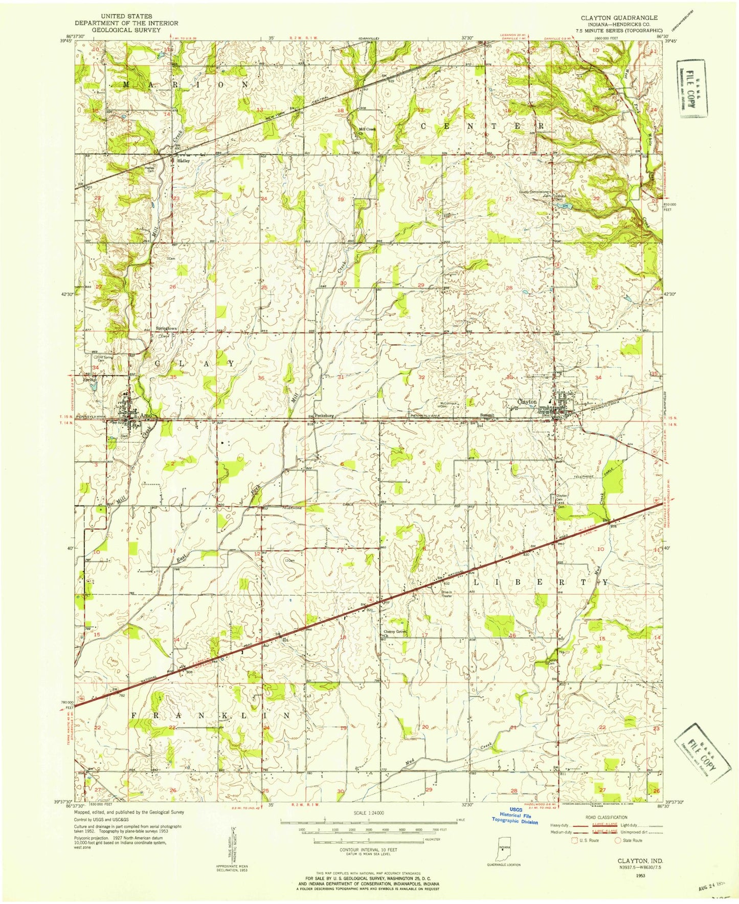
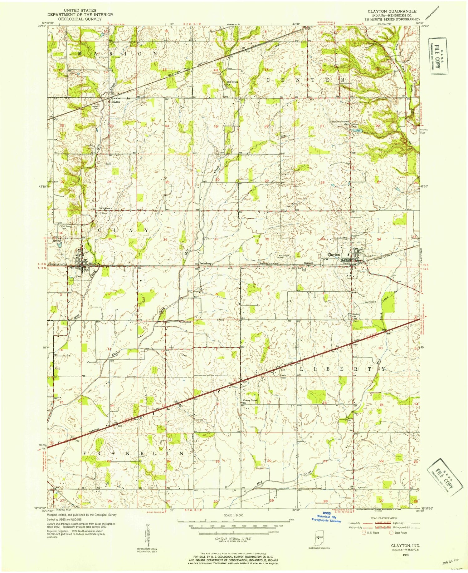
Historical USGS topographic quad map of Clayton in the state of Indiana. Map scale may vary for some years, but is generally around 1:24,000. Print size is approximately 24" x 27"
This quadrangle is in the following counties: Hendricks.
The map contains contour lines, roads, rivers, towns, and lakes. Printed on high-quality waterproof paper with UV fade-resistant inks, and shipped rolled.
Contains the following named places: Amo, Amo Cemetery, Amo Elementary School, Amo Post Office, Beck Lake, Beck Lake Dam, Bethel Lutheran Cemetery, Breneman Farms, Buescher Farms, Cascade School, Christie East Cemetery, Christie West Cemetery, Clayton, Clayton Cemetery, Clayton Police Department, Clayton Post Office, Cooper Airport, Cox's Plant Farm, Coyote Creek Farms, Danlea Farms, Fire Department of Liberty Township, Gary Alex Farm, Hadley, Hadley Friends Cemetery, Hillside Cemetery, Jones Cemetery, Marcidale Airport, McCormack Cemetery, Mill Creek Cemetery, Mill Creek Church, Mill Creek East Elementary School, Mill Creek Fire Department Station 51, Nash, New Mill Creek Cemetery, Pecksburg, Snoddy Cemetery, Spring Friends Cemetery, Springtown, Springtown Methodist Cemetery, Summit, Sunny Slope Farm, Town of Amo, Town of Clayton, Township of Clay, Township of Franklin, Township of Liberty, ZIP Codes: 46103, 46118