MyTopo
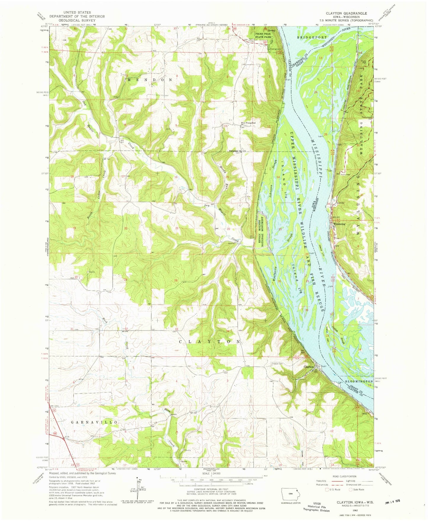
Classic USGS Clayton Iowa 7.5'x7.5' Topo Map
Couldn't load pickup availability
Historical USGS topographic quad map of Clayton in the states of Iowa, Wisconsin. Map scale may vary for some years, but is generally around 1:24,000. Print size is approximately 24" x 27"
This quadrangle is in the following counties: Clayton, Crawford, Grant.
The map contains contour lines, roads, rivers, towns, and lakes. Printed on high-quality waterproof paper with UV fade-resistant inks, and shipped rolled.
Contains the following named places: Adams Dairy, Buck Creek Area Park, Catfish Slough, City of Clayton, Clayton, Clayton Cemetery, Clayton Post Office, Evangelical Lutheran Cemetery, First Evangelical Church, First Evangelical Lutheran Cemetery, Gassner Lake, Glass Lake, Glen Lake, Great River Road Trail, Island 176, Island 178, Island Number One Hundred Eighty-one, Island Number One Hundred Seventy-seven, Jenkins Cemetery, Johnsons Slough, J-Wood Camp Grounds, Methodist Lake, Moody Run, North Cedar Creek, Norwegian Church, Norwegian Church Cemetery, Norwegian Lake, Old Stone Schoolhouse Historical Marker, Paradise Valley Campground, Pikes Peak State Park, Sny Magill, Sny Magill Creek, Sny Magill North Cedar Creek Wildlife Management Area, Township of Clayton, Wisconsin River, Wyalusing, Wyalusing Slough, ZIP Code: 52049


