MyTopo
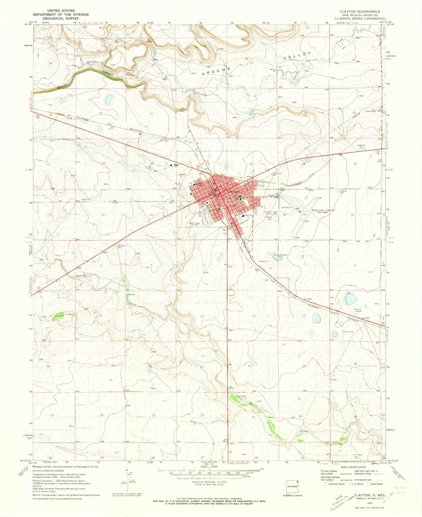
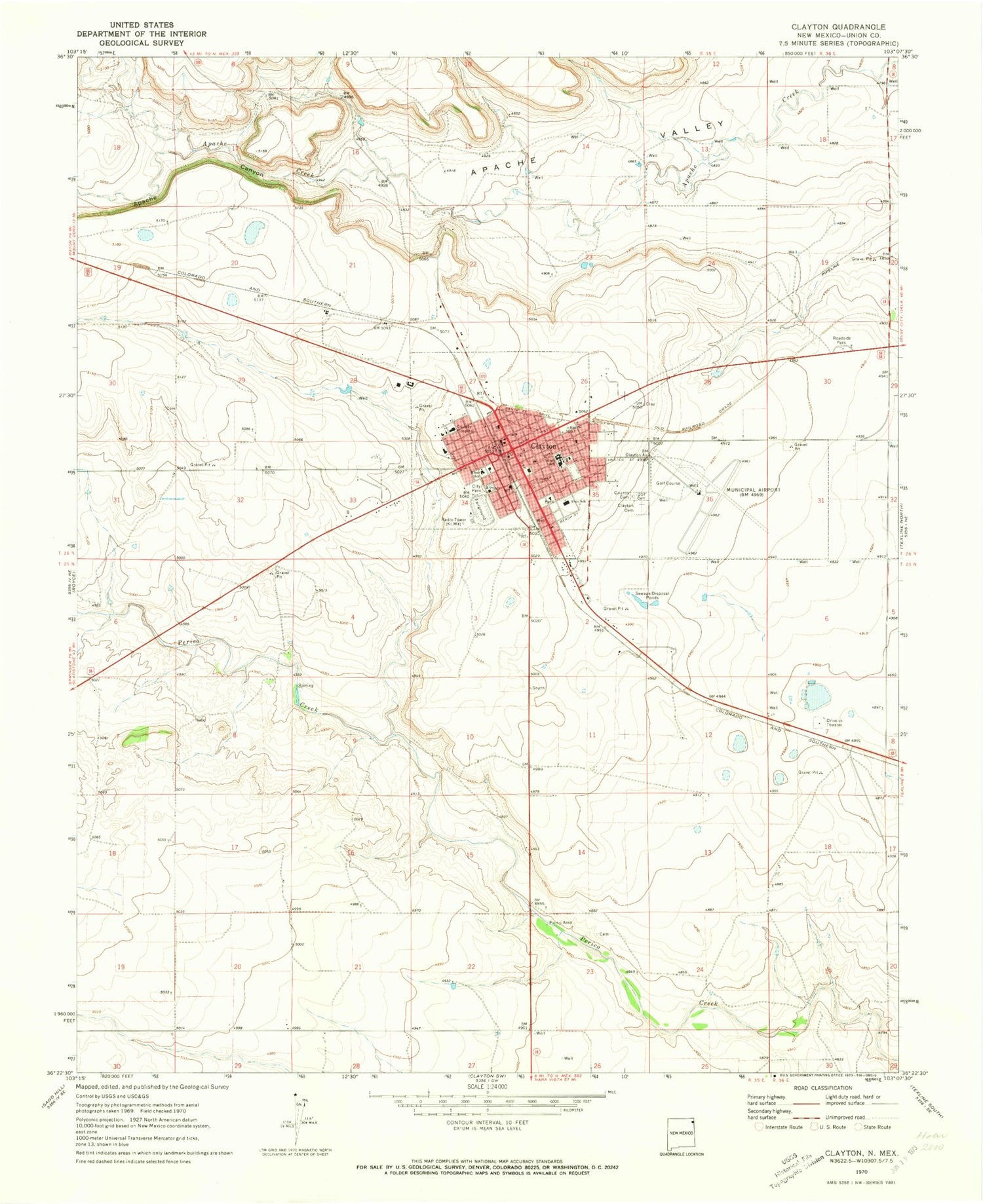
Classic USGS Clayton New Mexico 7.5'x7.5' Topo Map
Couldn't load pickup availability
Historical USGS topographic quad map of Clayton in the state of New Mexico. Map scale may vary for some years, but is generally around 1:24,000. Print size is approximately 24" x 27"
This quadrangle is in the following counties: Union.
The map contains contour lines, roads, rivers, towns, and lakes. Printed on high-quality waterproof paper with UV fade-resistant inks, and shipped rolled.
Contains the following named places: Albert W Thompson Memorial Library, Alvis School, Amistad Elementary School, Apache Canyon, Apache Spring, Assembly of God Church, Church of Christ, Church of God, Clayton, Clayton Cemetery, Clayton Fire Rescue Station 1, Clayton Fire Rescue Station 2, Clayton High School, Clayton Historical Marker, Clayton Junior High School, Clayton Municipal Airpark, Clayton Police Department, Clayton Post Office, County Cemetery, Double A Feeders, Eklund Hotel Historic Site, Eklund Storage Works Dam, First Baptist Church, First United Methodist Church, Gospel Center, Herzstein Memorial Museum Historic Site, Independent Order of Odd Fellows Cemetery, Jehovahs Witnesses Church, Kiowa and Rita Blanca Ranger District Office, Kiser School, KLMX-AM (Clayton), KOA Campground, Leighton Grove, NASA Wind Charger, Rabbit Ear Fire Department Main Station, Saint Francis Xavier Catholic Church, Santa Fe Trail Rest Area, Seventh Day Adventist Church, Town of Clayton, Union County Courthouse Historic Site, Union County General Hospital, Union County General Hospital Medical Library, Union County Sheriff's Office


