MyTopo
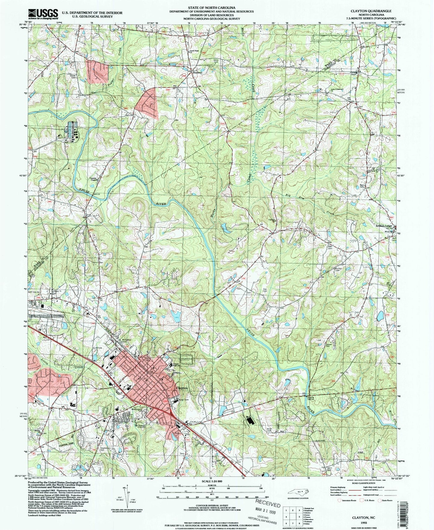
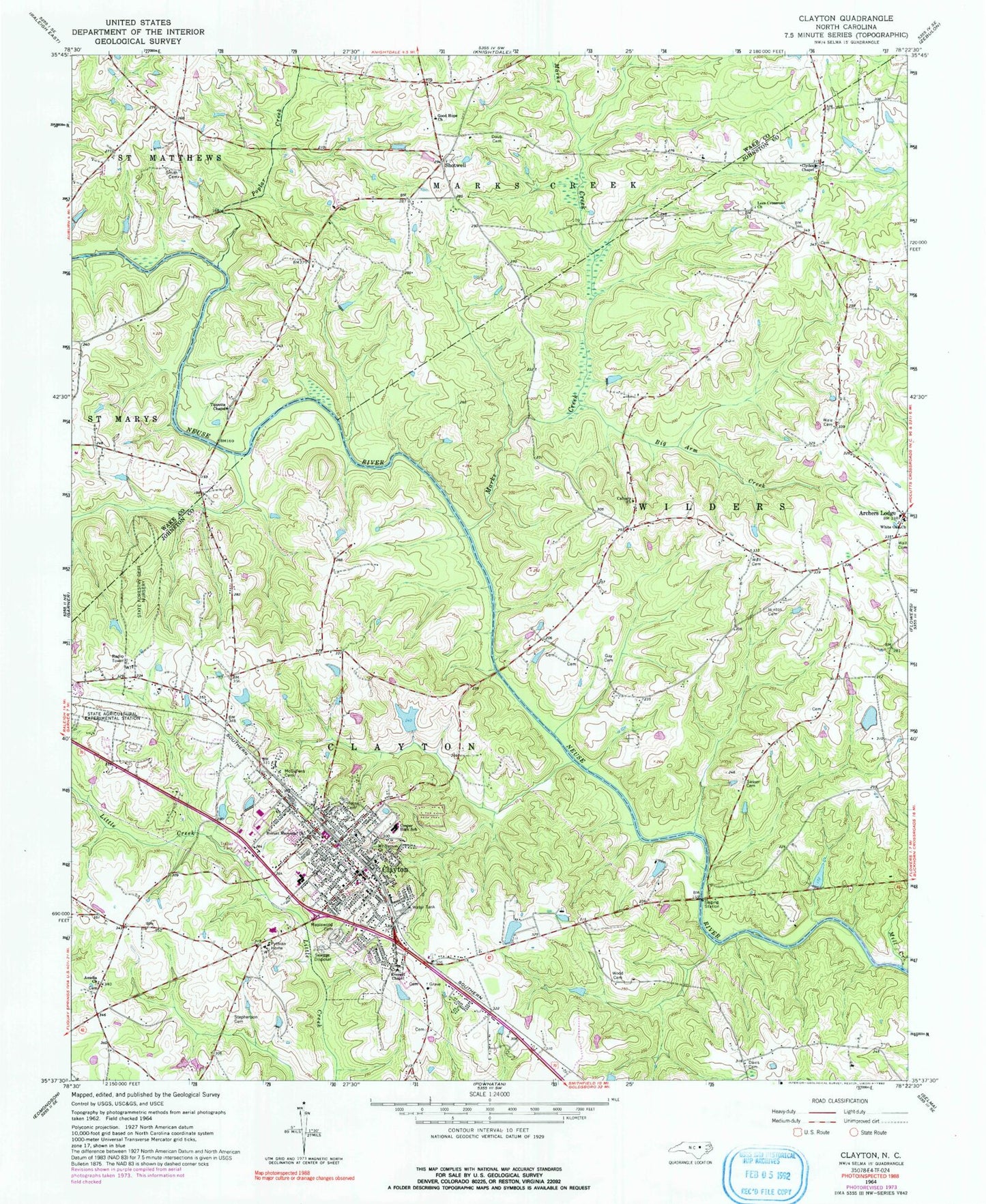
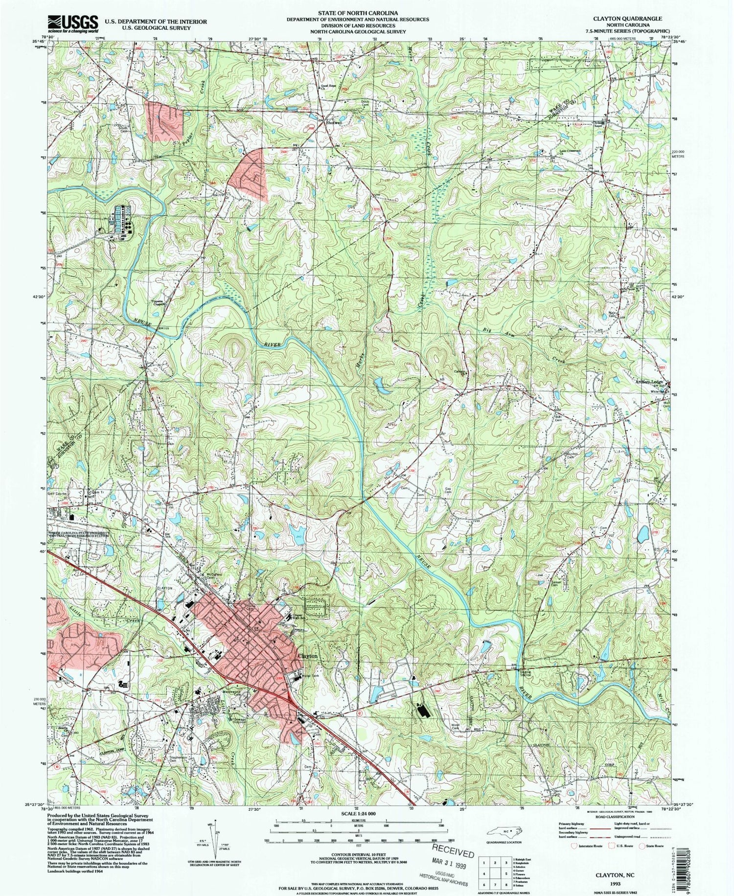
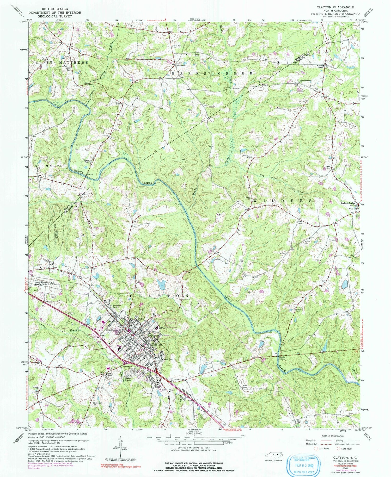
Classic USGS Clayton North Carolina 7.5'x7.5' Topo Map
Couldn't load pickup availability
Historical USGS topographic quad map of Clayton in the state of North Carolina. Typical map scale is 1:24,000, but may vary for certain years, if available. Print size: 24" x 27"
This quadrangle is in the following counties: Johnston, Wake.
The map contains contour lines, roads, rivers, towns, and lakes. Printed on high-quality waterproof paper with UV fade-resistant inks, and shipped rolled.
Contains the following named places: Amelia Church, Archer Lodge, Big Arm Creek, Calvary Church, Carolina Lake, Clydes Chapel, Cooper High School, Davis Cemetery, Doub Cemetery, Everett Chapel, Gay Cemetery, Good Hope Church, Hinton Cemetery, Hocutt Memorial Church, Horne Cemetery, Lees Crossroad Church, MacGregor Downs Lake, Maplewood Cemetery, Marks Creek, McCullers Cemetery, Mill Creek, Mount Vernon Church, Poplar Creek, Pythian Home, Lake Raleigh, Sasser Cemetery, Smith Cemetery, Stephenson Cemetery, Tippetts Chapel, Wale Cemetery, Wall Cemetery, Wall Cemetery, Lake Wheeler, White Oak Church, Wodd Cemetery, Yates Millpond, Union Carbide Pond Dam, Smith Pond Number Two, Smith Pond Number Two Dam, Atkinson Lake, Earp Pond Dam, NCSU Pond Number One, Starmont, Walden, Rollingwood, Country Estates, Brigadoon, Shotwell, West Clayton Elementary School, Clayton High School, Clayton Elementary School, Clayton Village Shopping Center, Clayton, Township of Clayton, Battles Bridge (historical), Baucoms Bridge, Oak Grove Church (historical), Town of Clayton, Clayton Fire Department Station 1, Archer Lodge Volunteer Fire Department, Clayton Fire Department Station 2, Clayton Emergency Services, Clayton Emergency Medical Services - Clayton Area Rescue, Clayton Police Department, Clayton Post Office


