MyTopo
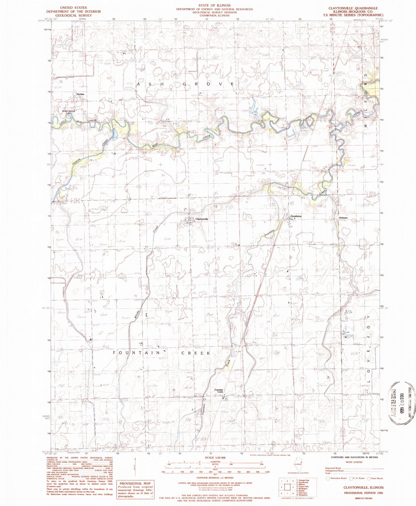
Classic USGS Claytonville Illinois 7.5'x7.5' Topo Map
Couldn't load pickup availability
Historical USGS topographic quad map of Claytonville in the state of Illinois. Map scale may vary for some years, but is generally around 1:24,000. Print size is approximately 24" x 27"
This quadrangle is in the following counties: Iroquois.
The map contains contour lines, roads, rivers, towns, and lakes. Printed on high-quality waterproof paper with UV fade-resistant inks, and shipped rolled.
Contains the following named places: Amity Cemetery, Apostolic Christian Church, Ash Grove Cemetery, Beebe Farms, Bundan School, Carey School, Claytonville, Claytonville Post Office, Eisenmann Farms, Fairview School, Fountain Creek, Goodwine, Goodwine Post Office, Hickman, Laird School, Leemon School, Little Mud Creek, Miller Spring Lake, Old Apostolic Christian Cemetery, Perfume Acres, Pigeon Creek, Pitchin, Possum Trot School, Ravens Farm, Ristow Farms, Township of Fountain Creek, Whisky Creek, Willoughby School, Wise School, ZIP Code: 60926