MyTopo
Classic USGS Clear Creek Reservoir Arizona 7.5'x7.5' Topo Map
Couldn't load pickup availability
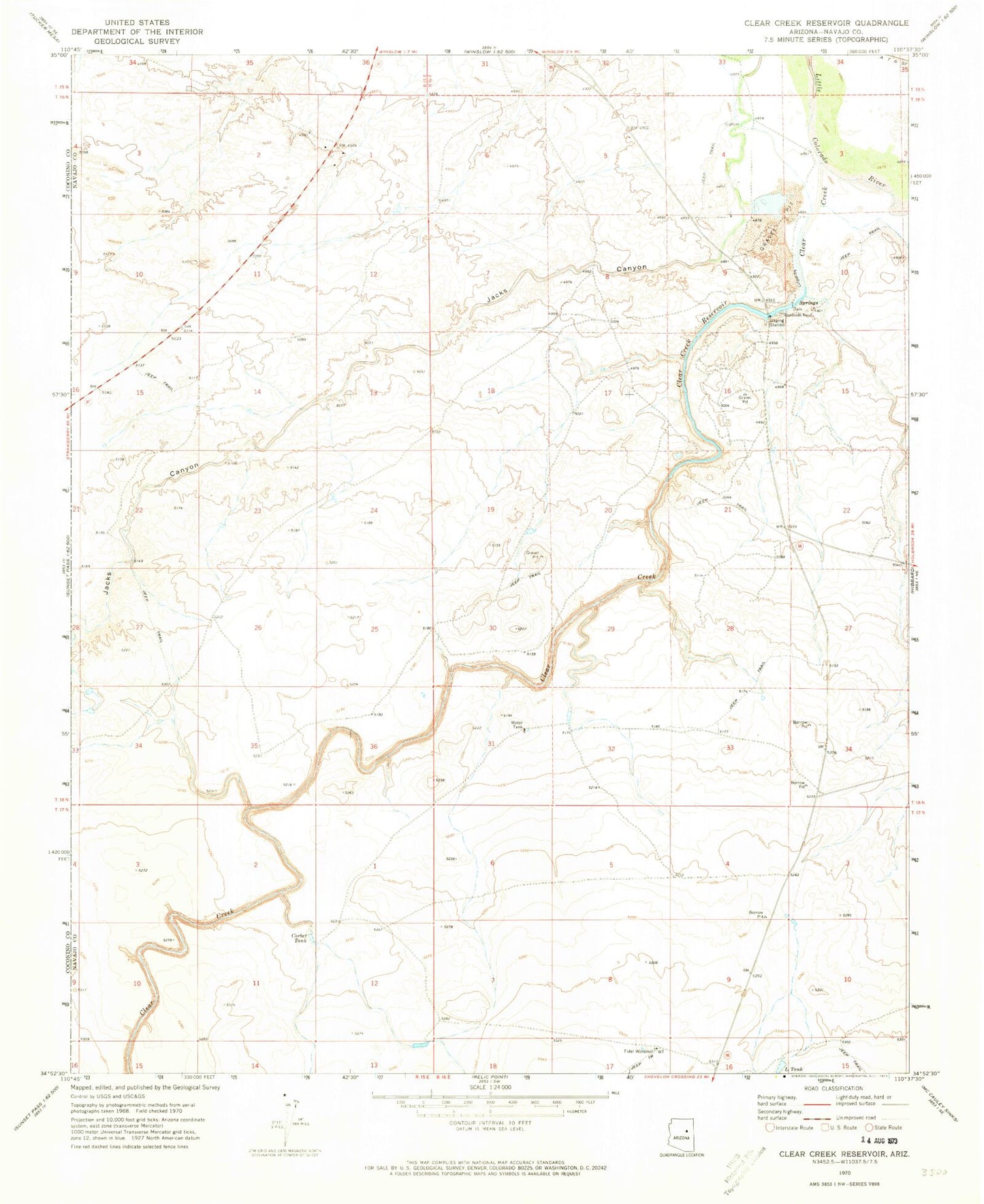
Historical USGS topographic quad map of Clear Creek Reservoir in the state of Arizona. Map scale may vary for some years, but is generally around 1:24,000. Print size is approximately 24" x 27"
This quadrangle is in the following counties: Navajo.
The map contains contour lines, roads, rivers, towns, and lakes. Printed on high-quality waterproof paper with UV fade-resistant inks, and shipped rolled.
Contains the following named places: Arizona State Prison Complex Winslow, Clear Creek, Clear Creek Bridge, Clear Creek Dam Number One, Clear Creek Lake, Clear Creek Number Two Dam, Clear Creek Reservoir, Corbet Tank, Fidel Windmill, Jacks Canyon, Jacks Canyon Bridge, L Tank, McHood Park, Winslow West Census Designated Place