MyTopo
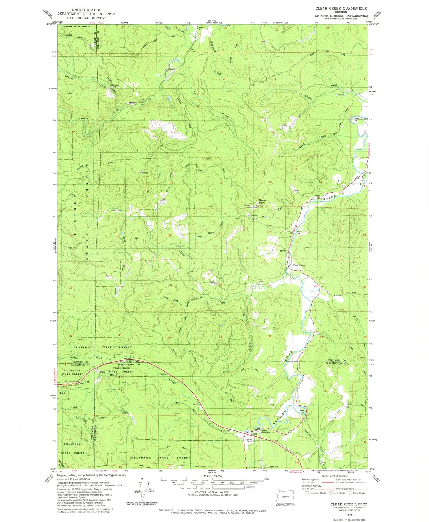
Classic USGS Clear Creek Oregon 7.5'x7.5' Topo Map
Couldn't load pickup availability
Historical USGS topographic quad map of Clear Creek in the state of Oregon. Typical map scale is 1:24,000, but may vary for certain years, if available. Print size: 24" x 27"
This quadrangle is in the following counties: Clatsop, Columbia, Tillamook, Washington.
The map contains contour lines, roads, rivers, towns, and lakes. Printed on high-quality waterproof paper with UV fade-resistant inks, and shipped rolled.
Contains the following named places: Cedar Creek, Clear Creek, Clear Creek, Fall Creek, Ginger Creek, Green Timber Creek, Kist Creek, Lousignont Creek, Lower North Fork, Maynard Creek, North Fork Green Timber Creek, North Fork Wolf Creek, Rock Creek, Rocky Point, South Fork Clear Creek, South Fork Green Timber Creek, South Prong Clear Creek, Sunset Camp, Timber Substation, Upper North Fork, Weed Creek, Wolf Creek, Coal Creek, North Cemetery of Clear Creek, Keasey, Robinson Creek, Clear Creek Post Office (historical), Keasey Post Office (historical), Kist Post Office (historical), Lausman (historical), Logspur (historical), Eastman (historical), County Line (historical), Arcadia Bridge, Bero Field


