MyTopo
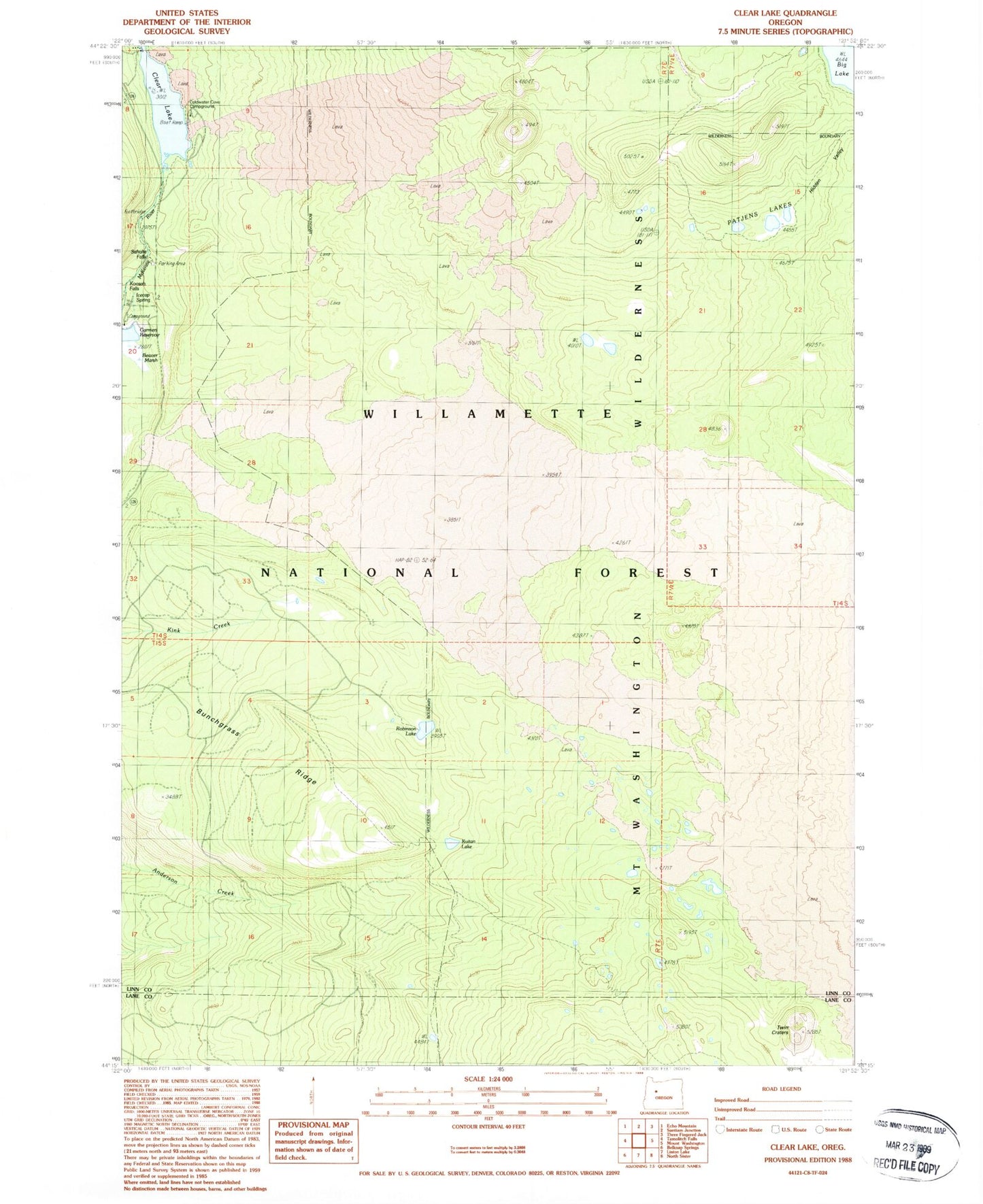
Classic USGS Clear Lake Oregon 7.5'x7.5' Topo Map
Couldn't load pickup availability
Historical USGS topographic quad map of Clear Lake in the state of Oregon. Typical map scale is 1:24,000, but may vary for certain years, if available. Print size: 24" x 27"
This quadrangle is in the following counties: Lane, Linn.
The map contains contour lines, roads, rivers, towns, and lakes. Printed on high-quality waterproof paper with UV fade-resistant inks, and shipped rolled.
Contains the following named places: Anderson Ridge Trail, Bunchgrass Ridge, Deer Butte Trail, Icecap Spring, Kuitan Lake, Patjens Lakes, Pocket Way, Robinson Lake, Sahalie Falls, Thirsty Camp Trail, Twin Craters, Lard Lake, Ice Cap Creek, Clear Lake, Patjens Lakes Trail, Mount Washington Wilderness, Coldwater Cove Recreation Site, Clear Lake Recreation Site, Clear Lake Resort, Sahalie Falls Recreation Site, Underwater Forest, Koosah Falls Recreation Site, Clear Lake Resort Boat Ramp, Coldwater Cove United States Forest Service Boat Ramp, Ice Cap Creek Campground Unimproved Boat Launch


