MyTopo
Classic USGS Clear Pond South Carolina 7.5'x7.5' Topo Map
Couldn't load pickup availability
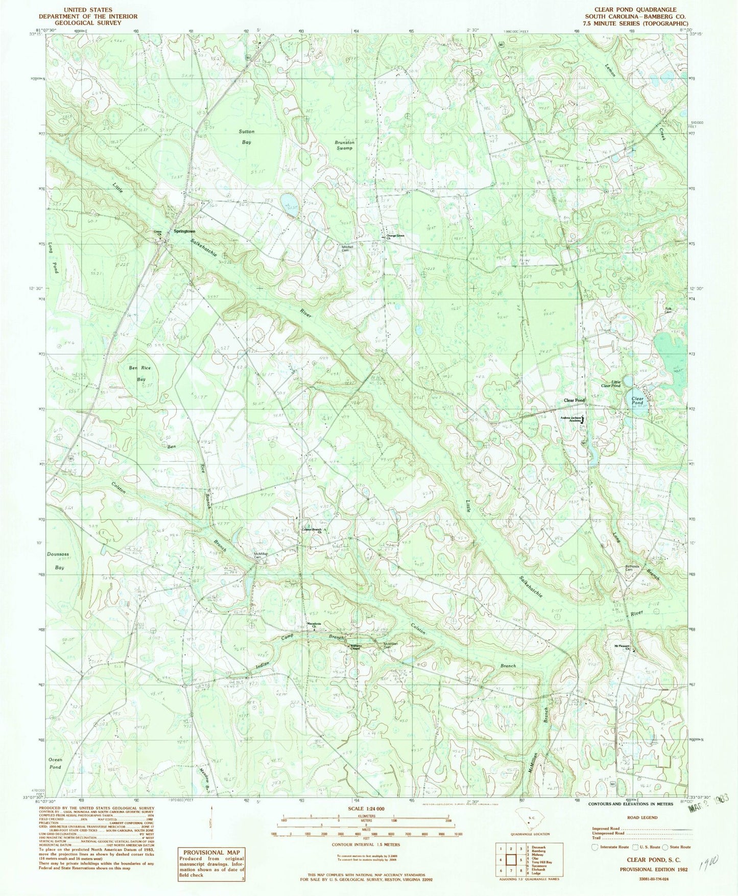
Historical USGS topographic quad map of Clear Pond in the state of South Carolina. Map scale may vary for some years, but is generally around 1:24,000. Print size is approximately 24" x 27"
This quadrangle is in the following counties: Bamberg.
The map contains contour lines, roads, rivers, towns, and lakes. Printed on high-quality waterproof paper with UV fade-resistant inks, and shipped rolled.
Contains the following named places: Andrew Jackson Academy, Bamberg County, Ben Rice Bay, Ben Rice Branch, Brunston Swamp, Carver School, Clear Pond, Clear Pond Fire Department Station 4, Clear Pond School, Coggins Grove Church, Colston Baptist Church, Colston Branch, Colston Fire Department Station 2, Colston School, Doussoss Bay, Duncanville School, Folk Cemetery, Hampton Grove Church, Hampton School, Hughes, Indian Camp Branch, Little Clear Pond, Long Branch, Macedonia Baptist Church, McMillans Pond Dam D-2818, McMillian Branch, McMillian Cemetery, Mitchell Cemetery, Mount Pleasant Church, Odom Bridge, Orange Grove Church, Pleasant Hill Church, Priesters Pond Dam D-2821, Springtown, Springtown Baptist Church, Sutton Bay, Sweet Gum School, Union Baptist Church, Union School, Williams Chapel Baptist Church, ZIP Code: 29003