
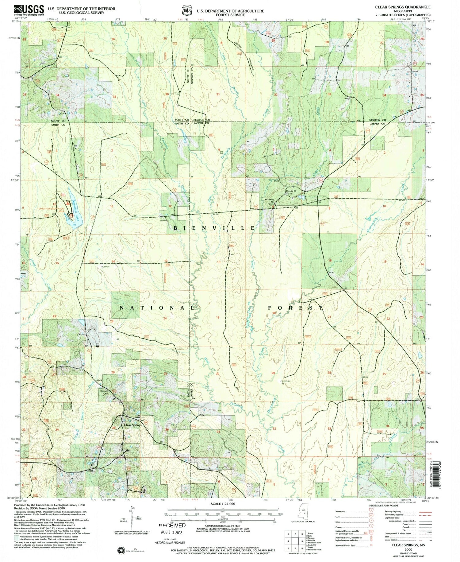
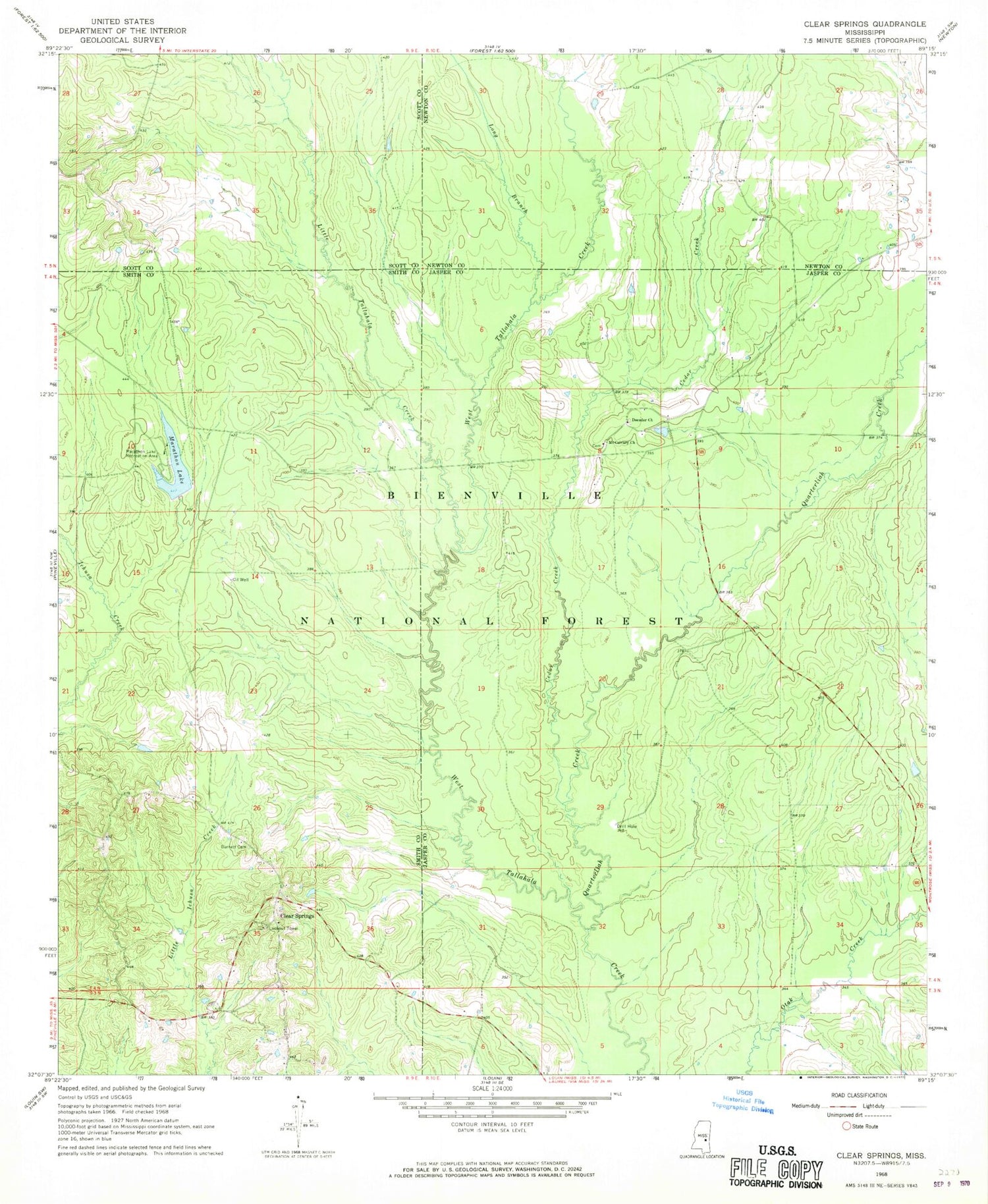
MyTopo
Classic USGS Clear Springs Mississippi 7.5'x7.5' Topo Map
Couldn't load pickup availability
Historical USGS topographic quad map of Clear Springs in the state of Mississippi. Map scale may vary for some years, but is generally around 1:24,000. Print size is approximately 24" x 27"
This quadrangle is in the following counties: Jasper, Newton, Scott, Smith.
The map contains contour lines, roads, rivers, towns, and lakes. Printed on high-quality waterproof paper with UV fade-resistant inks, and shipped rolled.
Contains the following named places: Bienville Forest Oil Field, Burnett Cemetery, Cedar Creek, Clear Springs, Clear Springs Baptist Church Cemetery, Clear Springs Church, Decedar Baptist Church Cemetery, Decedar Missionary Baptist Church, Little Tallahala Creek, Long Branch, Marathon Lake, Marathon Lake Dam, Marathon Lake Recreation Area, McCormick Lake Dam, Montrose Box, Mount Calvary Church, Quarterliah Creek, Success, Sun, Tallahala State Wildlife Management Area


