MyTopo
Classic USGS Clear Water Reservoir Montana 7.5'x7.5' Topo Map
Regular price
$16.95
Regular price
Sale price
$16.95
Unit price
per
Couldn't load pickup availability
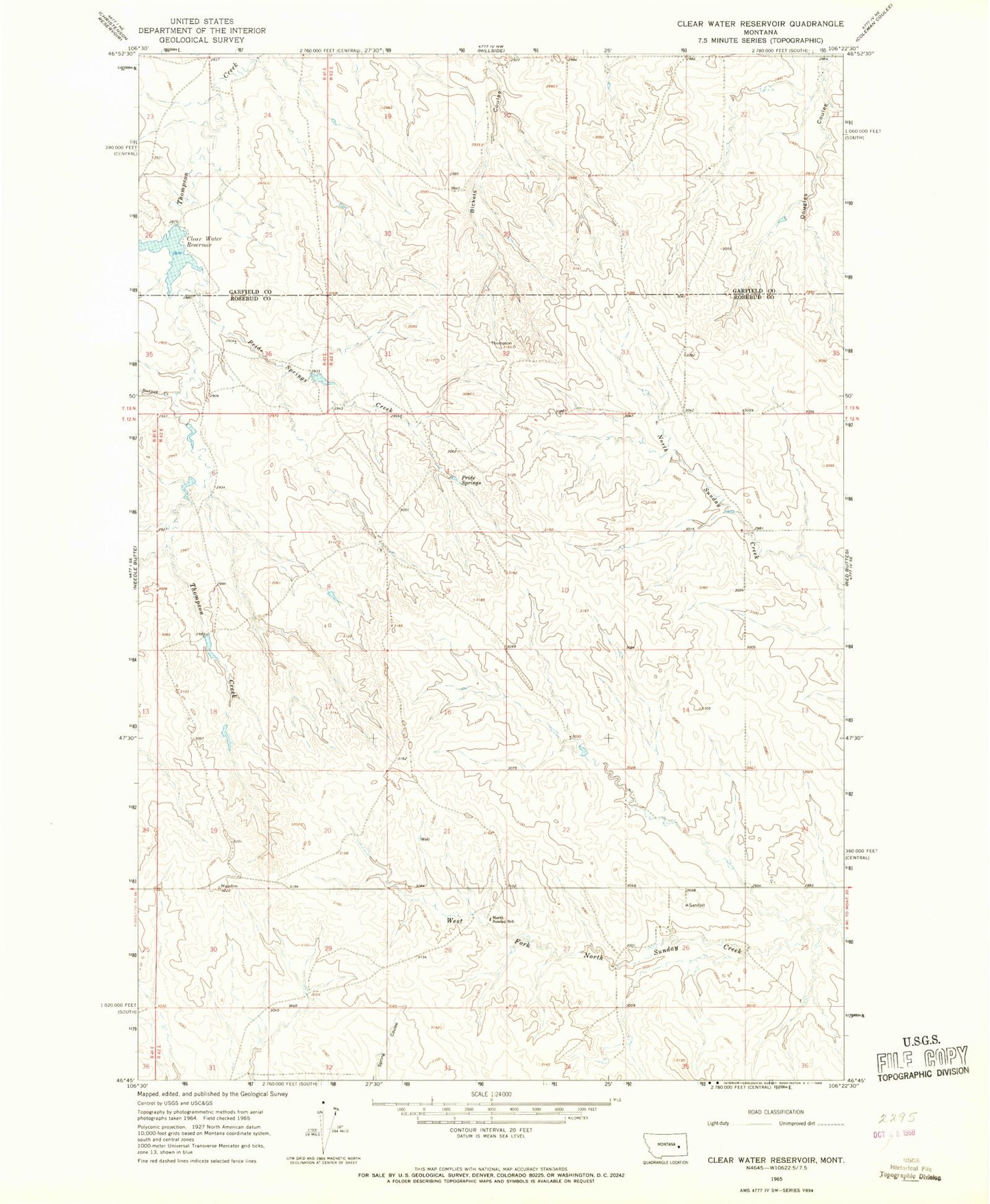
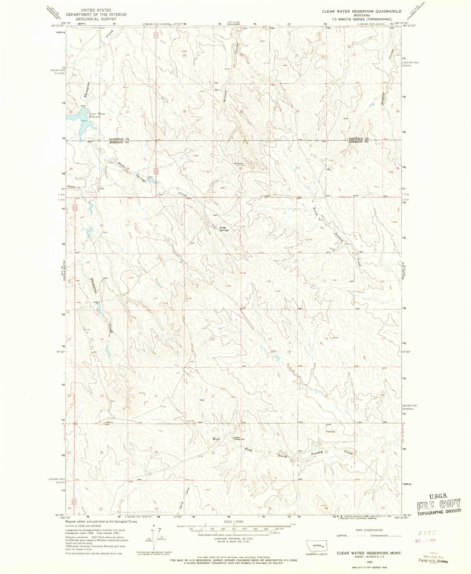
Historical USGS topographic quad map of Clear Water Reservoir in the state of Montana. Map scale may vary for some years, but is generally around 1:24,000. Print size is approximately 24" x 27"
This quadrangle is in the following counties: Garfield, Rosebud.
The map contains contour lines, roads, rivers, towns, and lakes. Printed on high-quality waterproof paper with UV fade-resistant inks, and shipped rolled.
Contains the following named places: 13N42E29BBBD01 Well, Ballenski School, Bickel School, Bootjack Creek, Clear Water Reservoir, Montana Number 21 Dam, North Sunday School, Pride Springs, Pride Springs Creek, Pyba Reservoir Dam