MyTopo
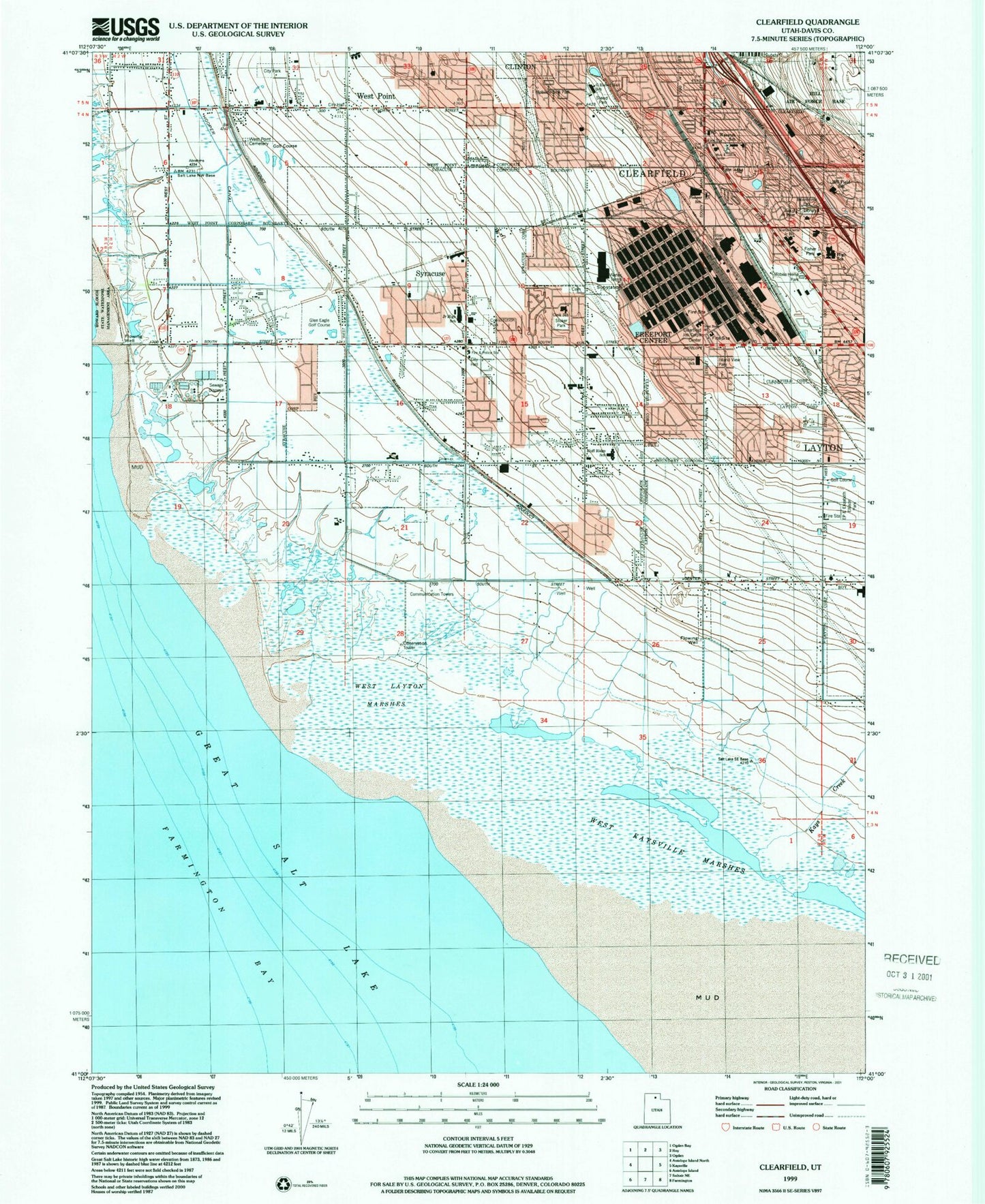
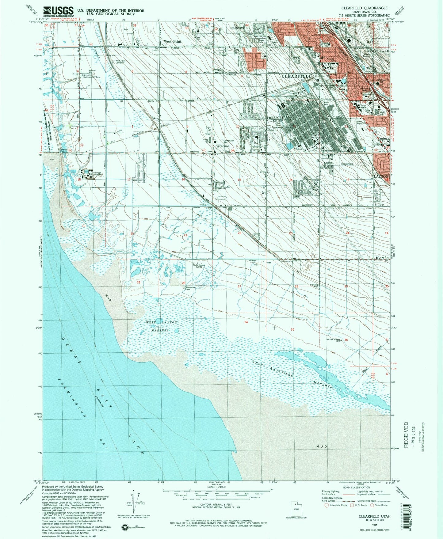
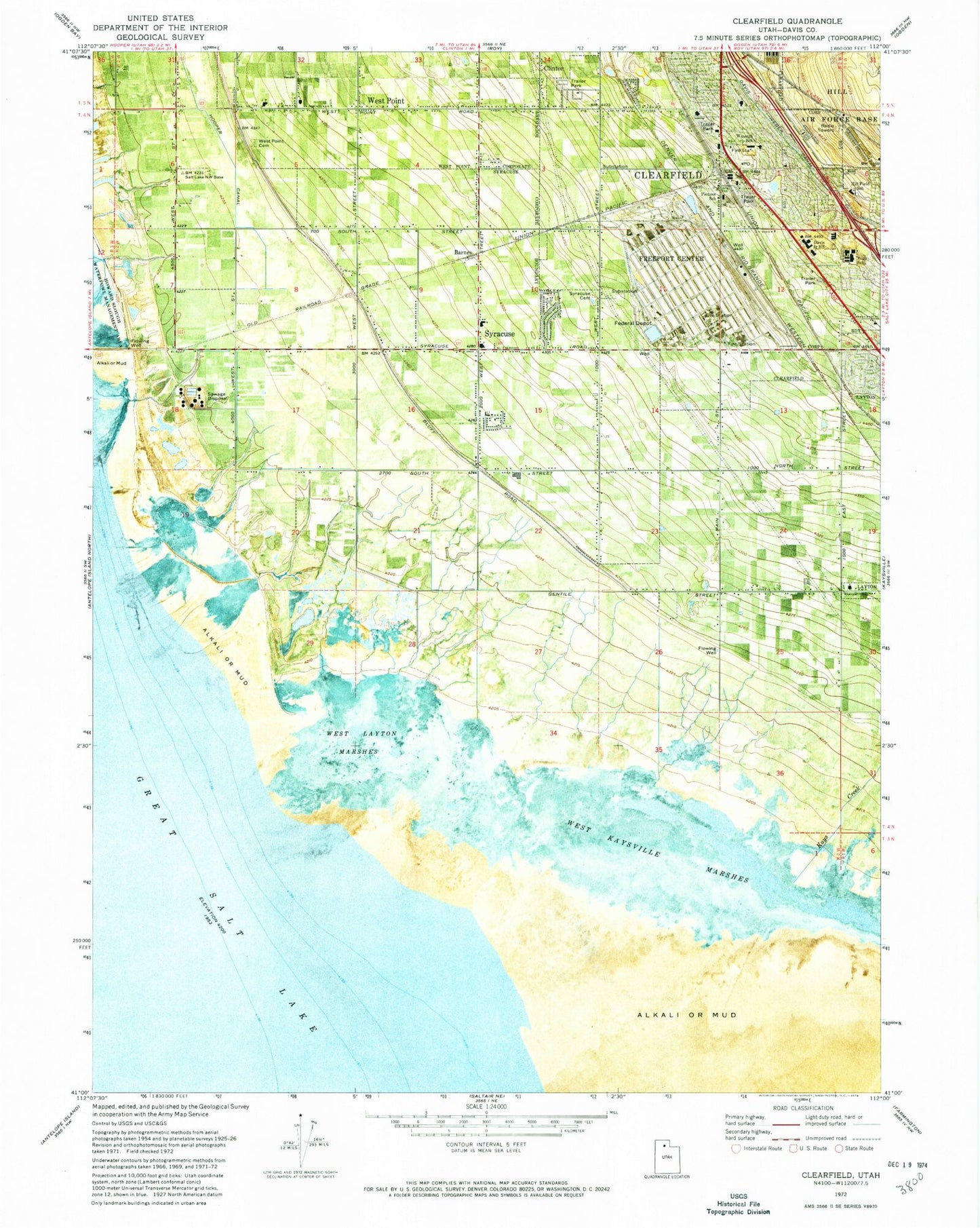
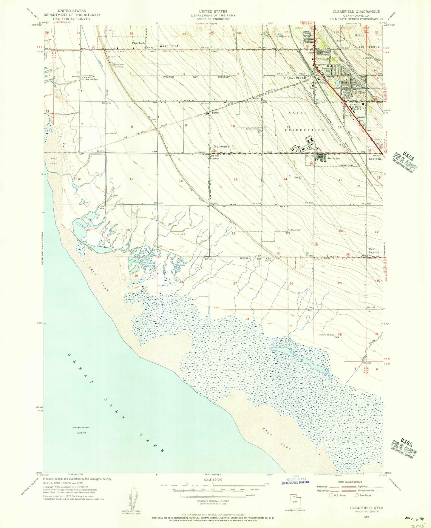
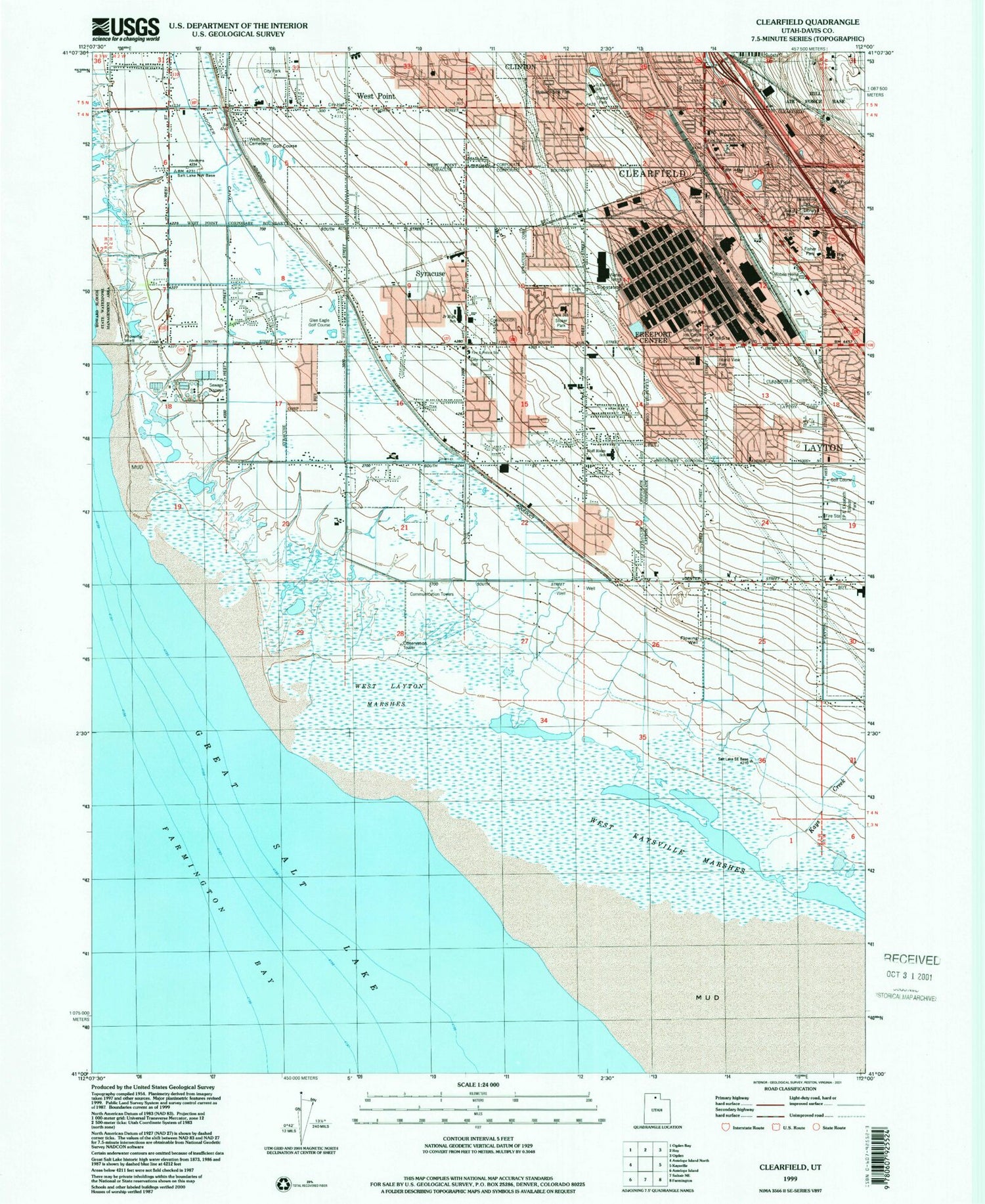
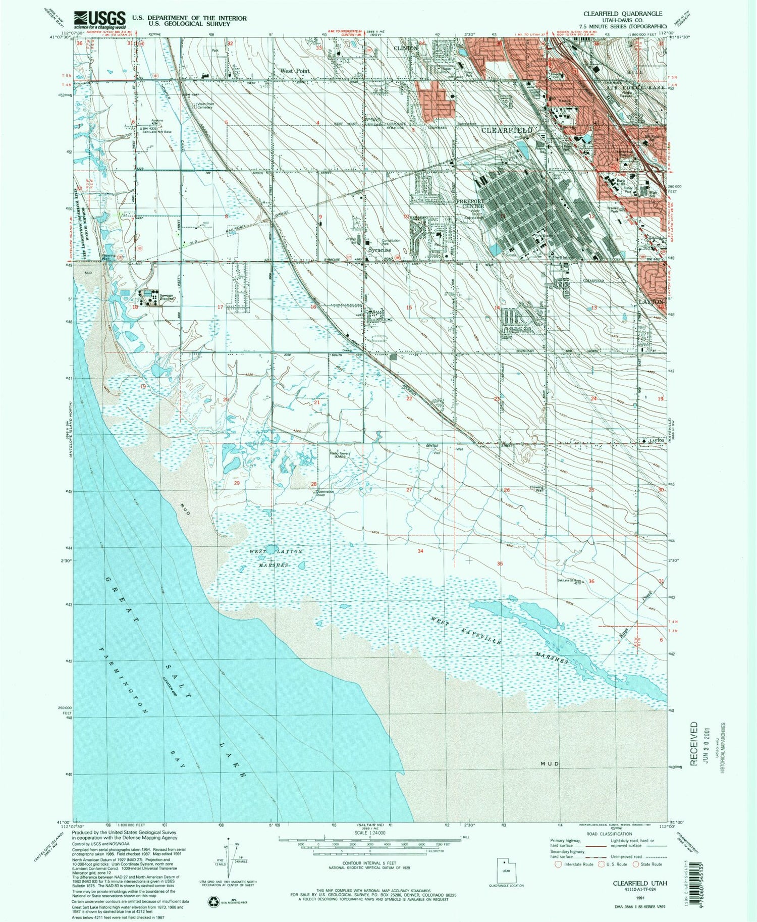
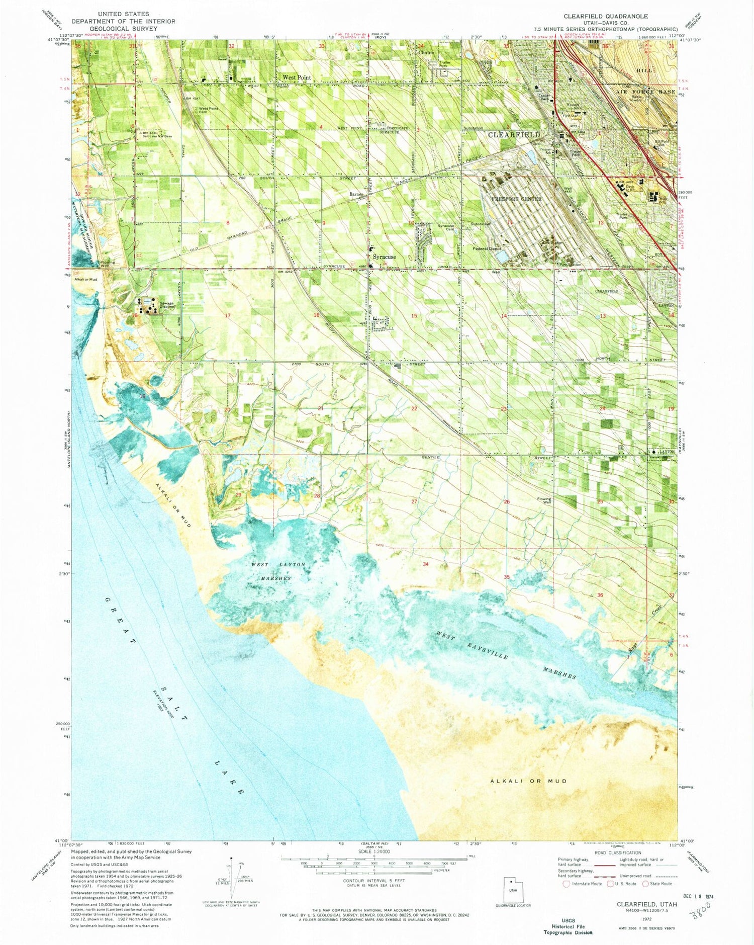
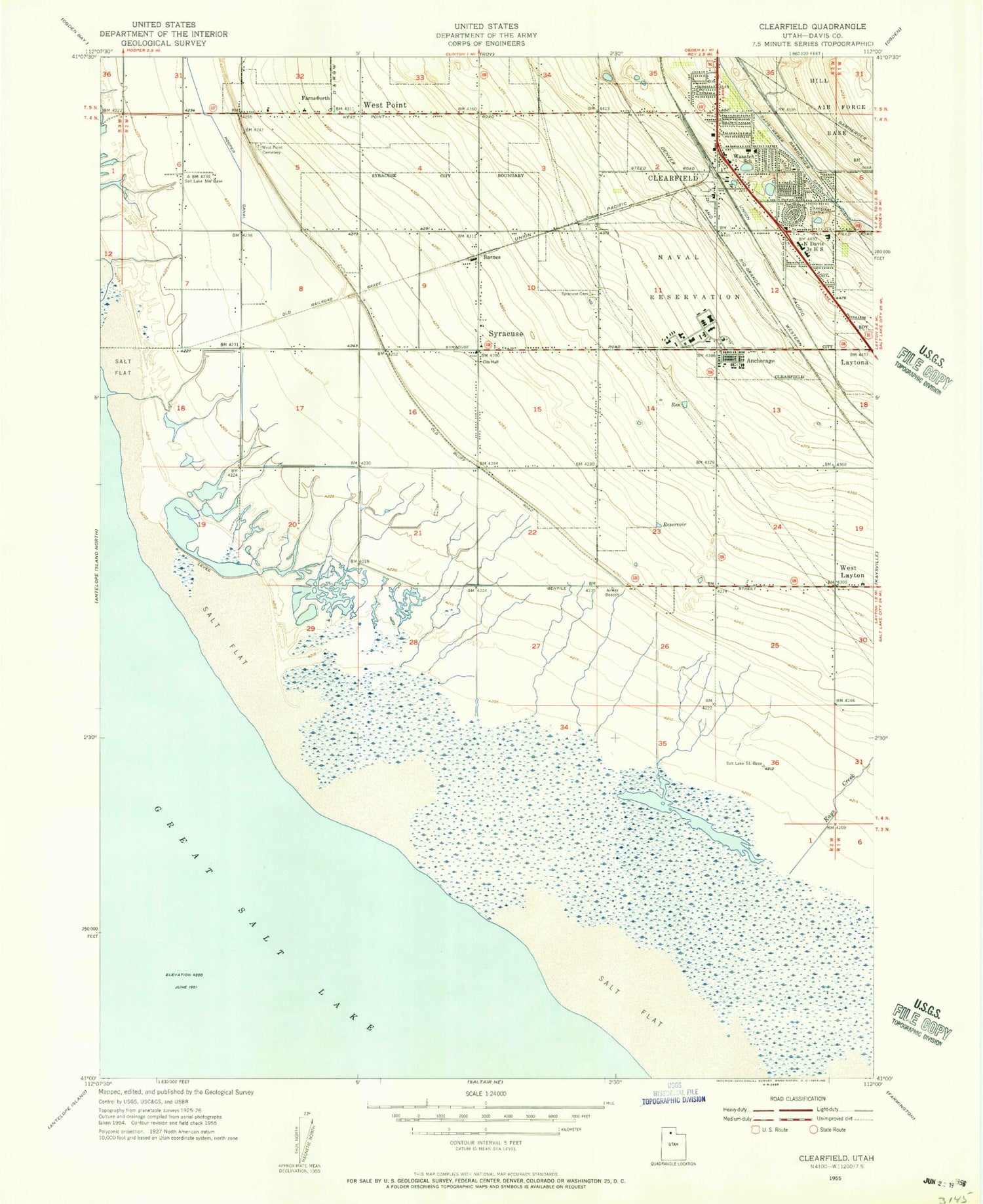
Classic USGS Clearfield Utah 7.5'x7.5' Topo Map
Couldn't load pickup availability
Historical USGS topographic quad map of Clearfield in the state of Utah. Map scale may vary for some years, but is generally around 1:24,000. Print size is approximately 24" x 27"
This quadrangle is in the following counties: Davis.
The map contains contour lines, roads, rivers, towns, and lakes. Printed on high-quality waterproof paper with UV fade-resistant inks, and shipped rolled.
Contains the following named places: Airlane Park, Al Vita Park, Allison Acres, Anchorage, Antelope Elementary School, Antelope School, Barlow Heights, Barnes, Bible Baptist Church, Bicentennial Park, Bluff Road, Brimhall Estates, Campbell Heights, Central Park Addition, Cherry Hill, City of Clearfield, City of Syracuse, City of West Point, Clearfield, Clearfield Central Park, Clearfield City Cemetery, Clearfield City Hall, Clearfield City Shops Shopping Center, Clearfield Community Church, Clearfield Estates, Clearfield Heights, Clearfield High School, Clearfield Job Corps Training Center, Clearfield Police Department, Clearfield Post Office, Clearfield Shopping Center, Clearfield Terrace, Clearfield Villa, Constitution Park, Cook Elementary School, Country Crossing, Country Village, Davis County Mosquito Abatement Airstrip, Edgehill Estates, Equestrian Ranchettes, First Southern Baptist Church, Fisher Park, Freeport Center, Freeport Center Post Office, Frew Estates, Glade Nielsen, Golden Park, Grandview Acres, Grants Lane, Green Hill Acres, Green Pastures, Henry Oleson, Hill Field Elementary School, Holt Elementary School, Hooper Canal, Island View Park, Jamarl Acres, Julie Estates, Katies Place, Kays Creek, Kiwanis Park, Kristalyn Gardens, Lakeside Elementary School, Lakeside Square, Lakeview, Layton City Fire Department Station 51, Layton Park, Lori Estates, Lou-vre Estates, Marilyn Acres, Meadow Park, Melanie Acres, Newport Haven, North Davis County Library, North Davis Fire District Clearfield Station, North Davis Fire District West Point Station, North Davis Junior High School, Oakcrest Estates, Park West Estates, Pioneer Adult Rehabilitation Center, Pratts, Ranchettes West, Rhoades Lane, Saint Peters Episcopal Church, School of Saint Peter, Shimada Acres, Sky West Estates, Smedley Acres, Smith Estates, Smith Village, South Clearfield Elementary School, Southwood, Steed, Steed Park, Stoker Park, Stuart, Sundial Park, Suntrails, Syracuse, Syracuse Cemetery, Syracuse City Police Department, Syracuse Elementary School, Syracuse Fire Department, Syracuse Junior High School, Terrace View, The Church of Jesus Christ of Latter Day Saints, Thornleys, Thurgood Estates, Vae View, Valhalla Estates, Valley View, Valley West Ranches, Villa Vista, Wasatch Elementary School, West Gate Addition, West Kaysville Marshes, West Layton Marshes, West Point, West Point Cemetery, West Point City Hall, West Point Elementary School, West Point Park, West Sunset View Estates, Westland, Westwood Estates, Yorkshire Place, ZIP Codes: 84015, 84075
