MyTopo
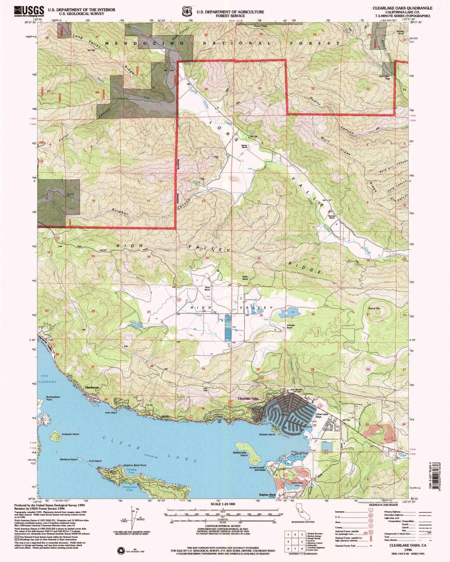
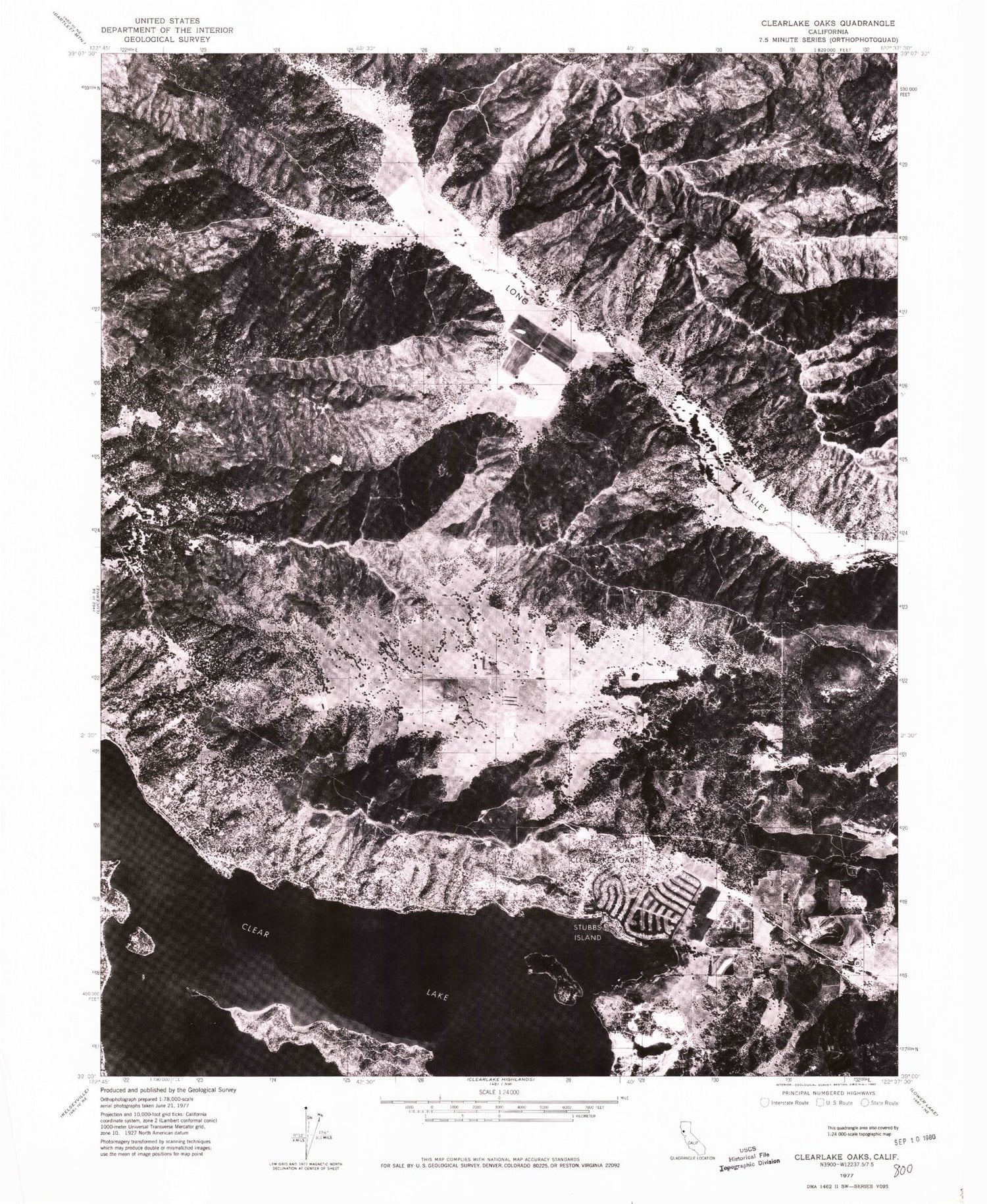
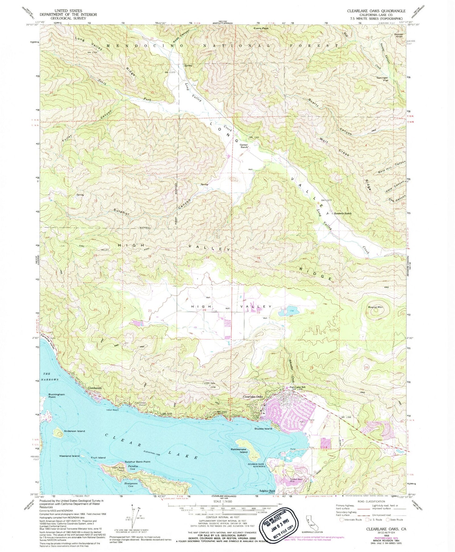
Classic USGS Clearlake Oaks California 7.5'x7.5' Topo Map
Couldn't load pickup availability
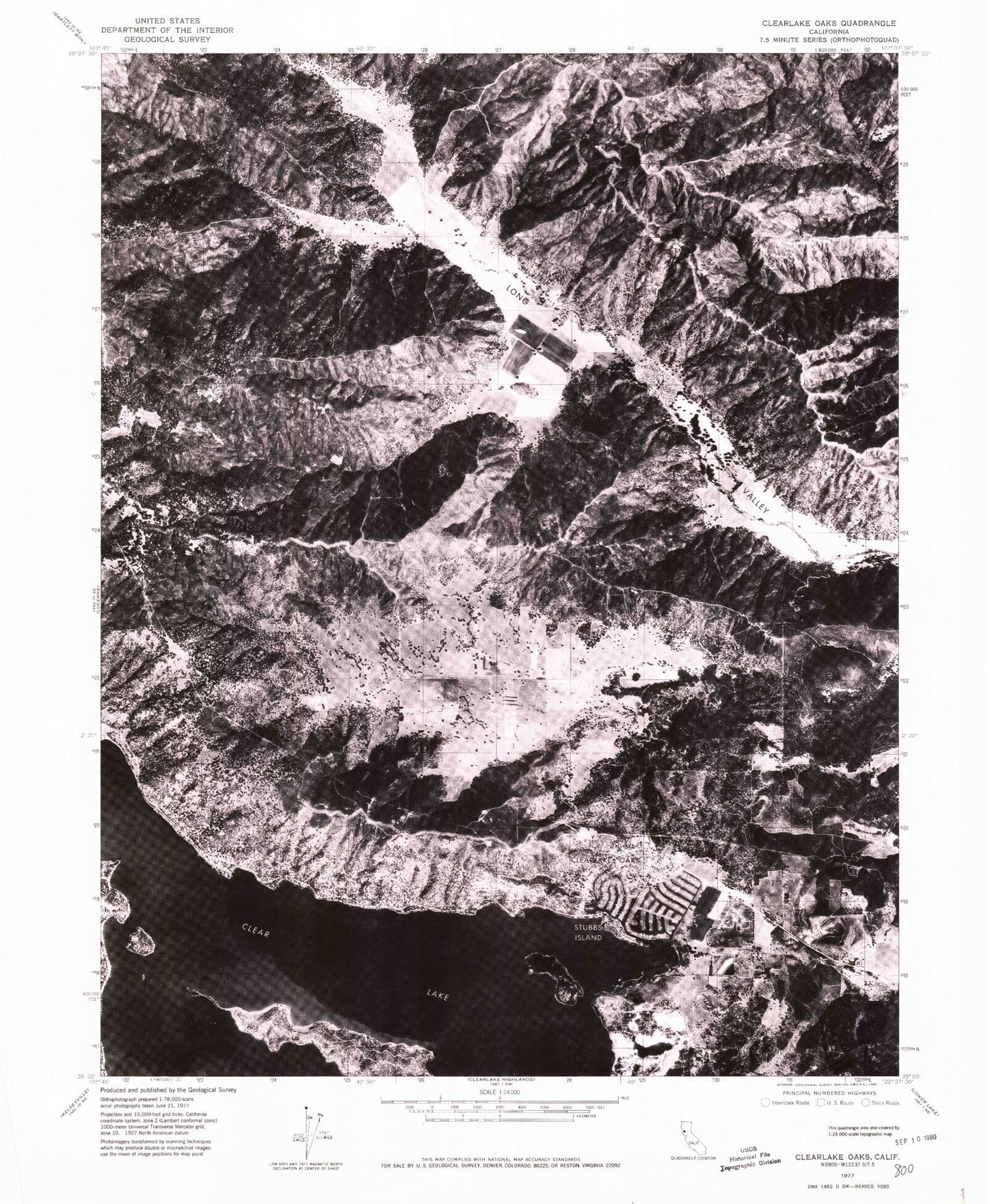
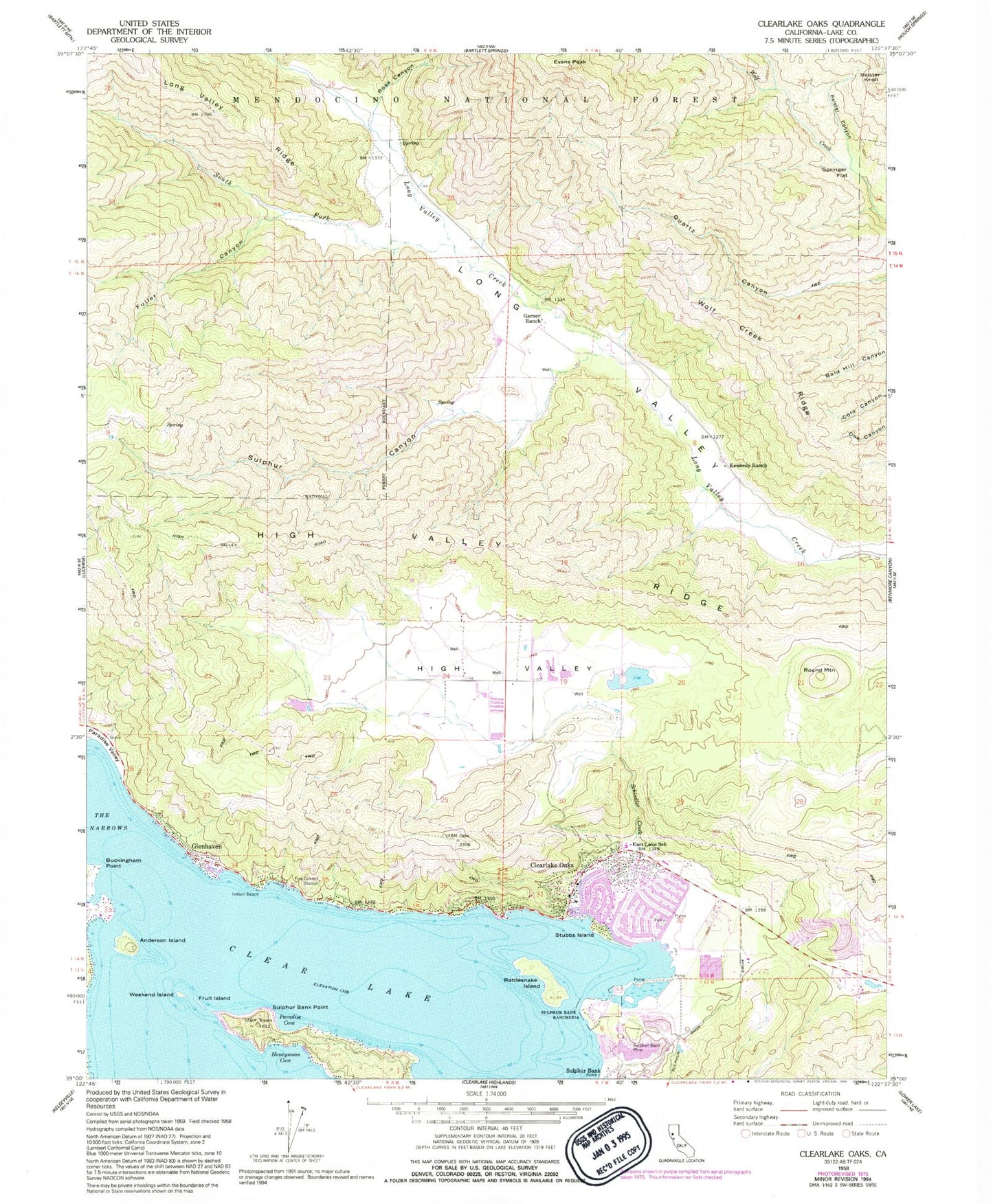
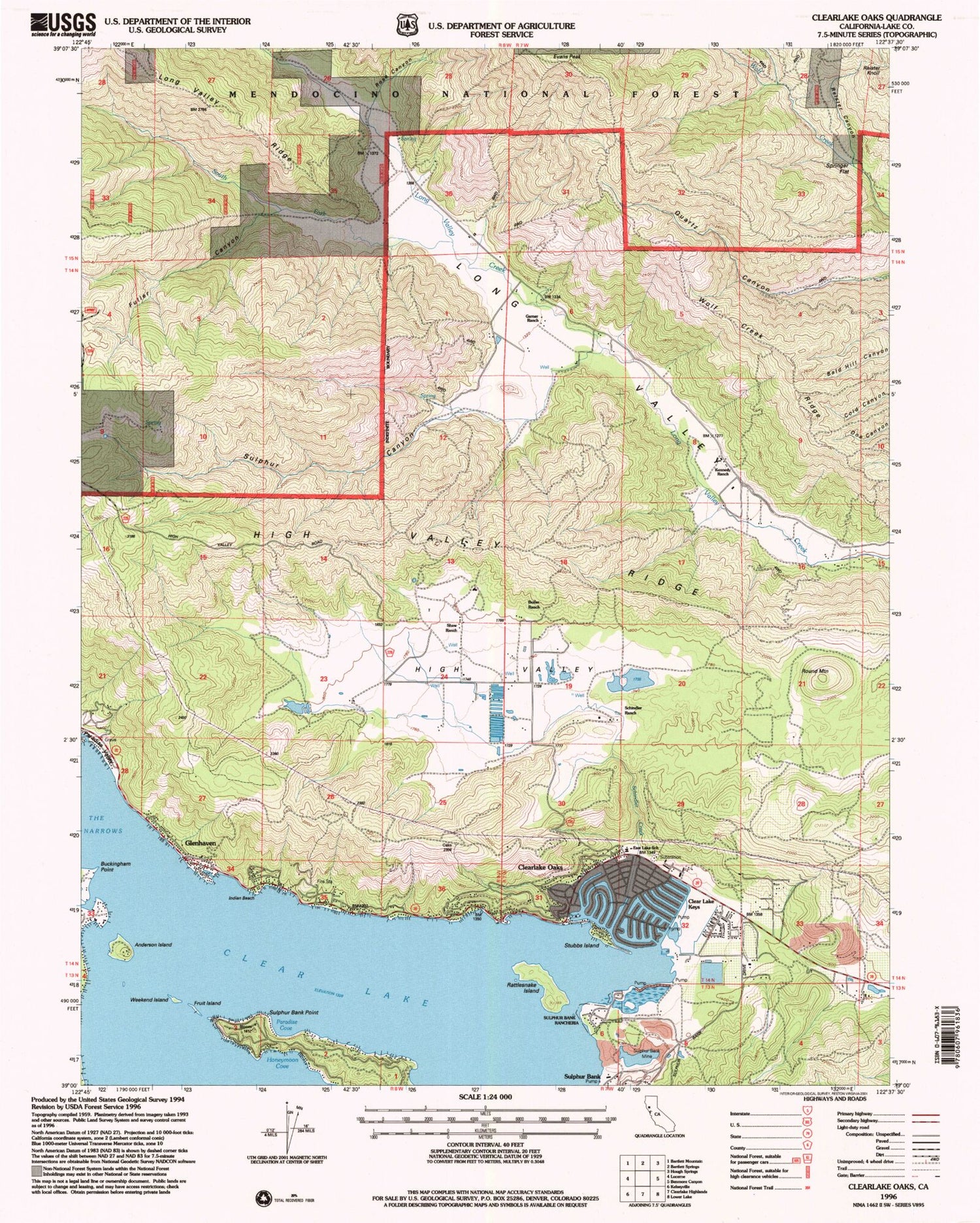
Historical USGS topographic quad map of Clearlake Oaks in the state of California. Map scale may vary for some years, but is generally around 1:24,000. Print size is approximately 24" x 27"
This quadrangle is in the following counties: Lake.
The map contains contour lines, roads, rivers, towns, and lakes. Printed on high-quality waterproof paper with UV fade-resistant inks, and shipped rolled.
Contains the following named places: Anderson Island, Buckingham Point, Butler Ranch, California Department of Forestry and Fire Protection Clearlake Oaks Station, Clear Lake Keys, Clear Lake Quarry, Clearlake Oaks, Clearlake Oaks Census Designated Place, Clearlake Oaks Post Office, East Lake Elementary School, Eastlake, Evans Peak, Fruit Island, Fuller Canyon, Garner Ranch, Glenhaven, Glenhaven Post Office, High Valley, Honeymoon Cove, Indian Beach, Kennedy Ranch, Lakeshore Fire Protection Fire Station 73, Northshore Fire Protection District Station 75 Clearlake Oaks, Northshore Fire Protection District Station 76 Glenhaven, Paradise Cove, Pluth Ranch, Rattlesnake Island, Reister Canyon, Reister Knoll, Rose Canyon, Round Mountain, Saint Anthonys Catholic Church, Schindler Creek, Schindler Ranch, Shaw Ranch, South Fork Long Valley Creek, Springer Flat, Stubbs Island, Sulphur Bank Mine, Sulphur Bank Point, Sulphur Bank Rancheria, Sulphur Canyon, Weekend Island, Wolf Creek Ridge, ZIP Code: 95423
