
MyTopo
Classic USGS Clearview Oklahoma 7.5'x7.5' Topo Map
Couldn't load pickup availability
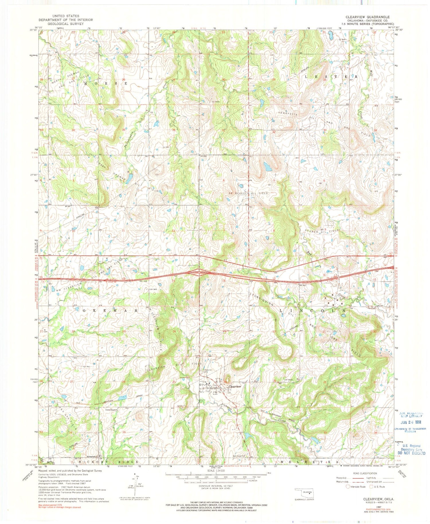
Historical USGS topographic quad map of Clearview in the state of Oklahoma. Map scale may vary for some years, but is generally around 1:24,000. Print size is approximately 24" x 27"
This quadrangle is in the following counties: Okfuskee.
The map contains contour lines, roads, rivers, towns, and lakes. Printed on high-quality waterproof paper with UV fade-resistant inks, and shipped rolled.
Contains the following named places: Clearview, Clearview Cemetery, Clearview Oil Field, Creek Chapel, Deaner Oil Field, East Okemah Oil Field, French Family Cemetery, North Clearview Oil Field, Northwest Clearview Oil and Gas Field, Oknoname 107026 Dam, Oknoname 107026 Reservoir, Oknoname 107027 Dam, Oknoname 107027 Reservoir, Oknoname 107028 Dam, Oknoname 107028 Reservoir, Salt Creek Church, Southeast Blakely Oil Field, Springfield Church, Town of Clearview, Township of Lincoln


