MyTopo
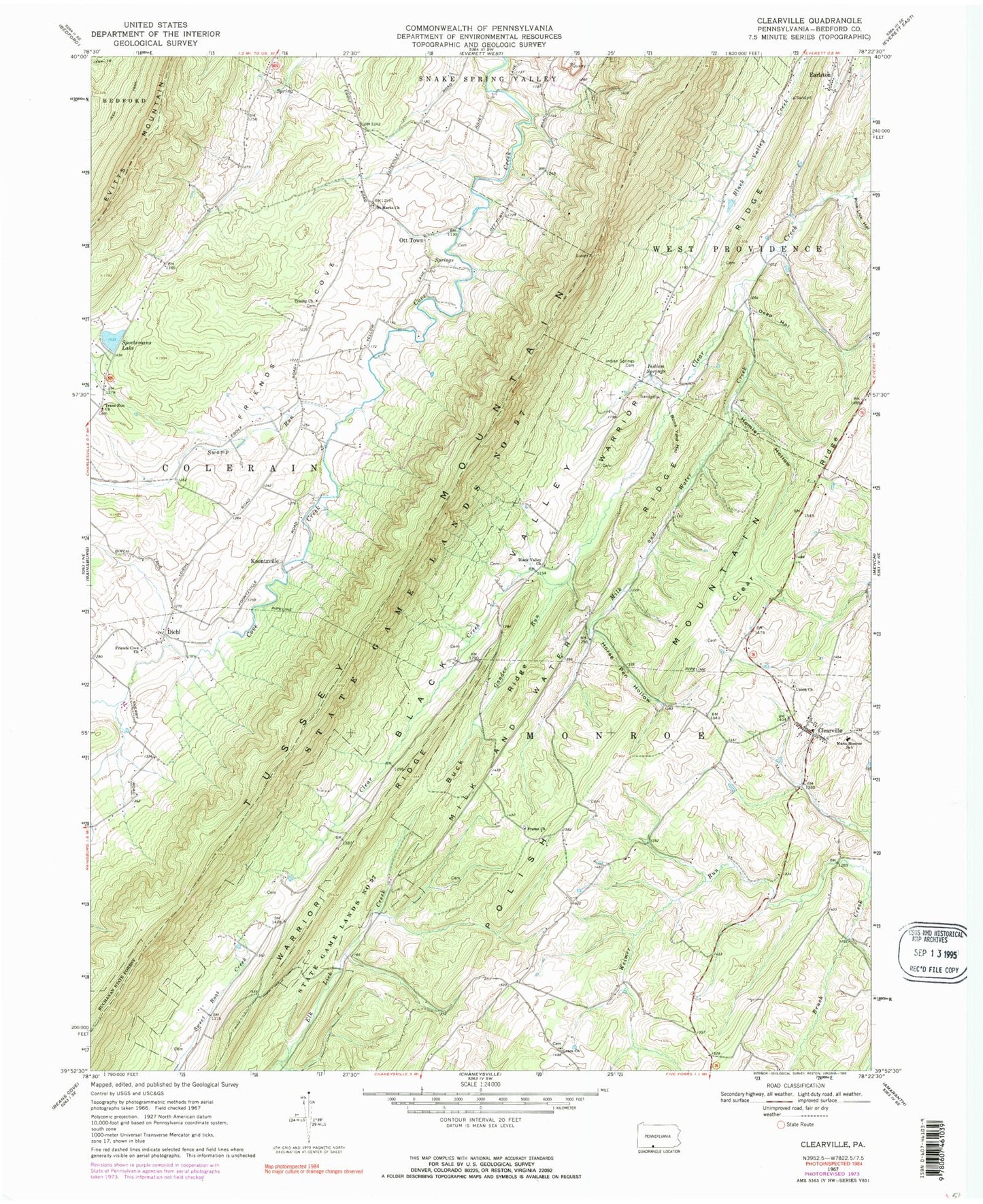
Classic USGS Clearville Pennsylvania 7.5'x7.5' Topo Map
Couldn't load pickup availability
Historical USGS topographic quad map of Clearville in the state of Pennsylvania. Map scale may vary for some years, but is generally around 1:24,000. Print size is approximately 24" x 27"
This quadrangle is in the following counties: Bedford.
The map contains contour lines, roads, rivers, towns, and lakes. Printed on high-quality waterproof paper with UV fade-resistant inks, and shipped rolled.
Contains the following named places: Bethel Frame Church Cemetery, Bittle School, Black Valley Church, Bone Yard Hollow, Buck Ridge, Cessna School, Clear Ridge, Clearville, Clearville Post Office, Clearville Union Church Cemetery, Cornell Graveyard, Deep Hollow, Deep Hollow Run, Deer Lick Hollow Run, Diehl, Frame Church, Friends Cove Church, Friends Cove United Church of Christ Cemetery, Gander Run, Gillam Cemetery, Grace Church, Grace Lutheran Cemetery, Homler Hollow, Horse Pen Hollow, Indian Springs, Indian Springs Cemetery, Indian Springs School, Koontzville, Mann-Monroe School, Maple Grove School, Milk and Water Creek, Milk and Water Ridge, Mount Spruce School, Ott Town, Pennel Farm Cemetery, Peter O'Neal Cemetery, Pine Grove School, Pine Lick Hollow, Saint Mark Lutheran Church Cemetery, Saint Marks Church, Sportsmans Lake, Springville, State Game Lands Number 97, Steckman, Swamp Run, Township of Monroe, Trans Run Church, Trans Run United Methodist Churchyard, Trinity Church, Trinity United Church of Christ Cemetery, Union Church, Warrior Ridge School


