MyTopo
Classic USGS Clearwater Dam Missouri 7.5'x7.5' Topo Map
Couldn't load pickup availability
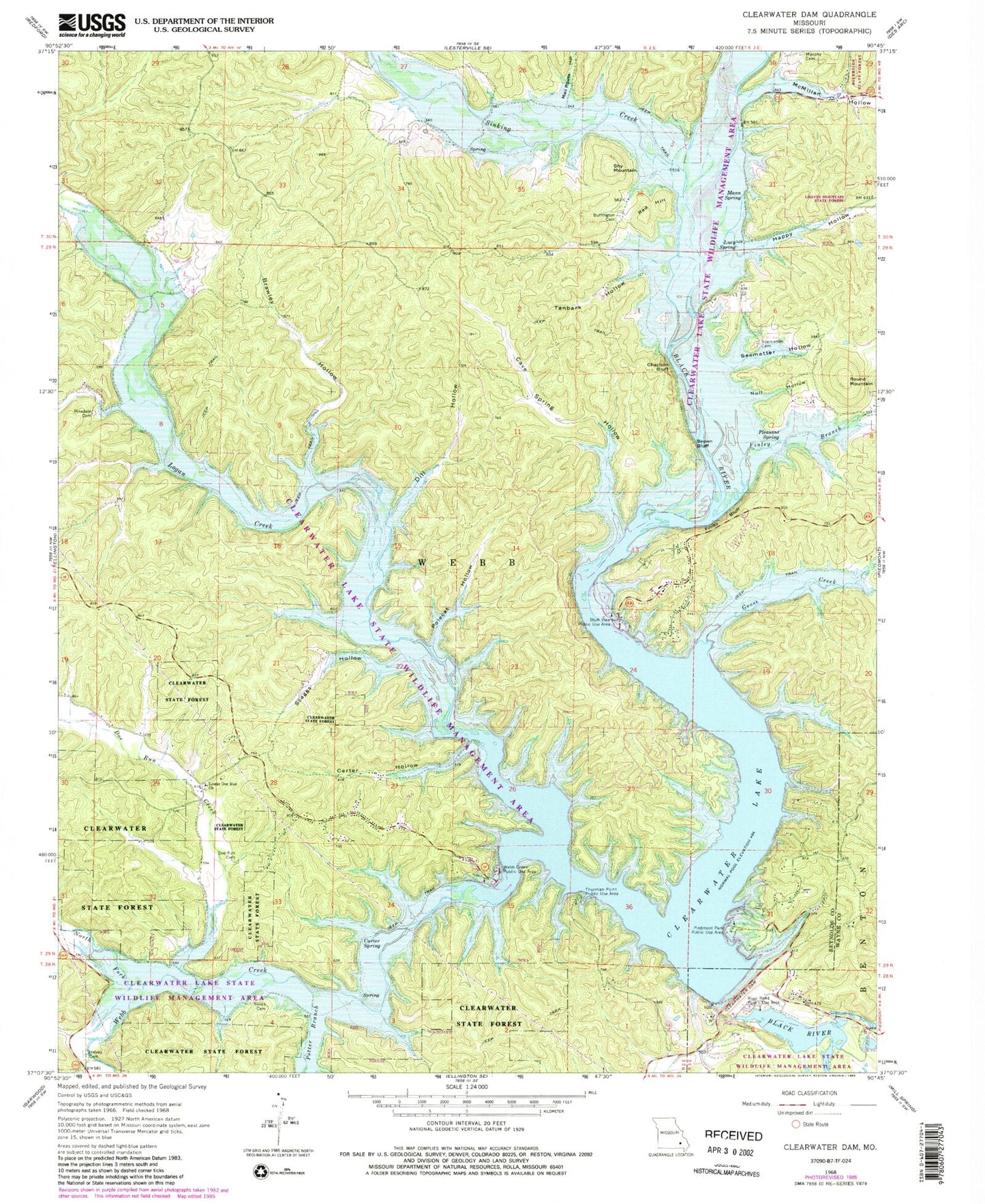
Historical USGS topographic quad map of Clearwater Dam in the state of Missouri. Map scale may vary for some years, but is generally around 1:24,000. Print size is approximately 24" x 27"
This quadrangle is in the following counties: Reynolds, Wayne.
The map contains contour lines, roads, rivers, towns, and lakes. Printed on high-quality waterproof paper with UV fade-resistant inks, and shipped rolled.
Contains the following named places: Bluff View Public Use Area, Bozarth State Forest, Brawley Hollow, Brown Bluff, Buffington Cemetery, Buffington School, Carter Hollow, Carter Mill School, Carter Spring, Cave Spring Hollow, Charlton Bluff, Clearwater Dam, Clearwater Lake, Clearwater Lake State Wildlife Management Area, Dill Hollow, Doe Run Cemetery, Doe Run Creek, Finley Bluff, Finley Branch, Goose Creek, Graves Mountain State Forest, Happy Hollow, Helvey, Helvey Cemetery, Logan Creek, Lower Doe Run Church, Lucy Spring, Mail Route Hollow, Mann Spring, McMillan Hollow, Murphy Cemetery, North Fork Webb Creek, Null Hollow, Piedmont Park Public Use Area, Pinedale Cemetery, Pinedale School, Pinedale Valley, Pleasant Spring, Pleasant Spring School, Polecat Hollow, Potter Branch, Red Hill, River Road Public Use Area, Riverside, Riverside Wilderness Camping Site, Round Mountain, Scaggs Hollow, Seematter Cemetery, Seematter Hollow, Shy Mountain, Sinking Creek, Skiles Cemetery, Tanbark Hollow, Thurman Point Public Use Area, Township of Webb, Webb, Webb Creek, Webb Creek Public Use Area, Webb Creek Volunteer Fire Department, Webb Valley


