MyTopo
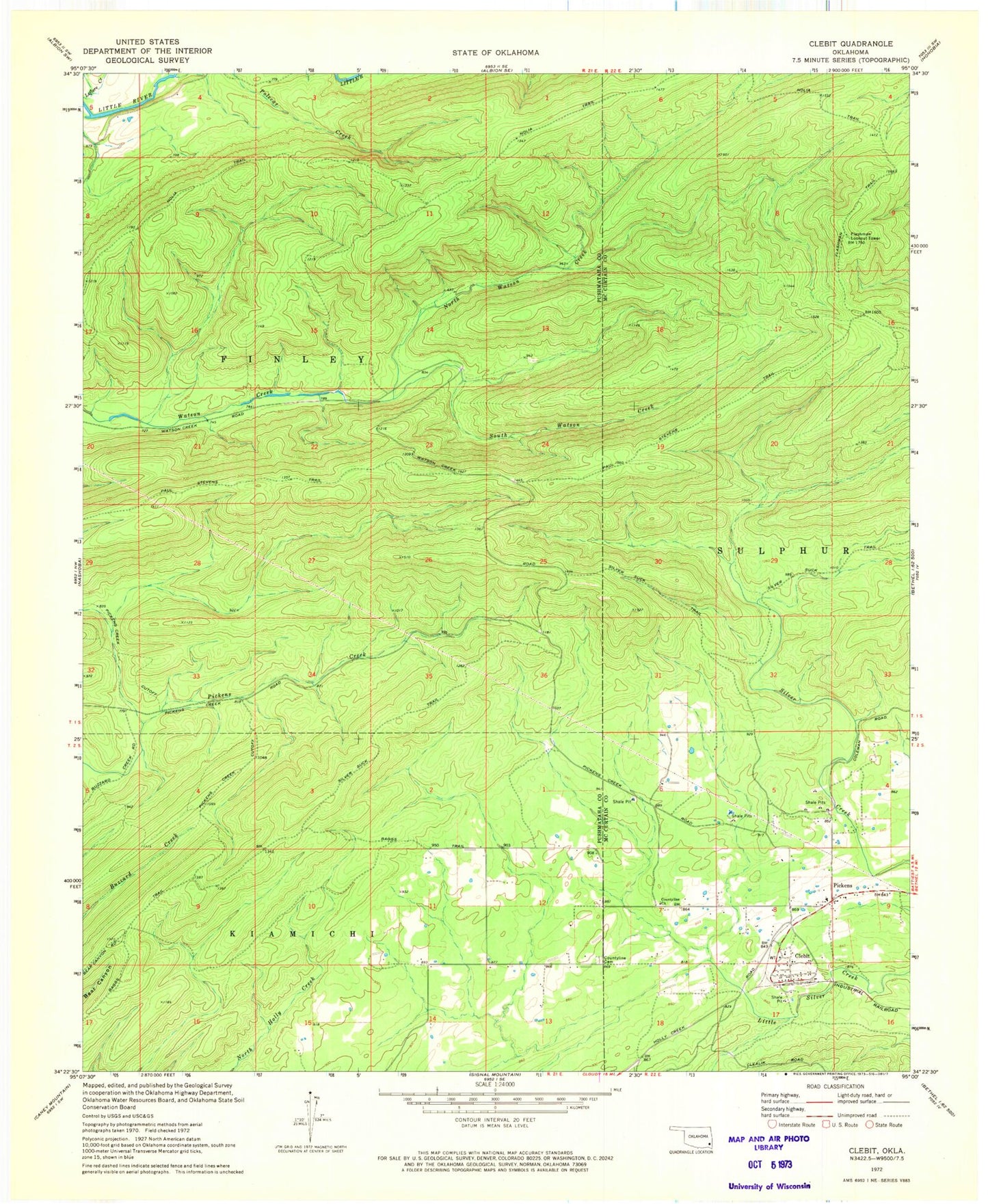
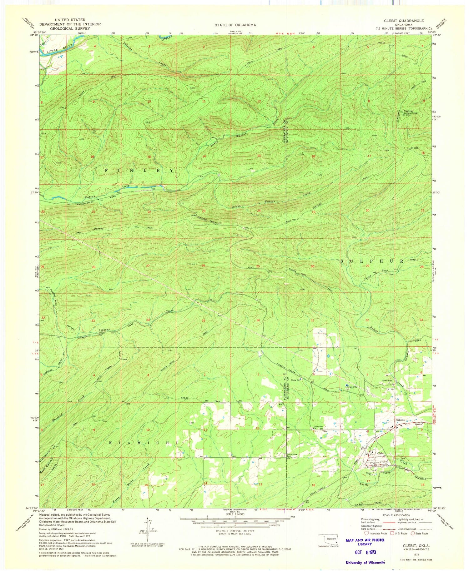
Classic USGS Clebit Oklahoma 7.5'x7.5' Topo Map
Couldn't load pickup availability
Historical USGS topographic quad map of Clebit in the state of Oklahoma. Map scale may vary for some years, but is generally around 1:24,000. Print size is approximately 24" x 27"
This quadrangle is in the following counties: McCurtain, Pushmataha.
The map contains contour lines, roads, rivers, towns, and lakes. Printed on high-quality waterproof paper with UV fade-resistant inks, and shipped rolled.
Contains the following named places: Baggs Trail, Clebit, Countyline Cemetery, Countyline Church, Flashman Lookout Tower, Flashman Trail, Nolia Trail, North Watson Creek, Paul Stevens Trail, Pickens, Pickens Creek Cutoff, Pickens Post Office, Pickens Volunteer Fire Department, Silver Suck Trail, South Watson Creek