MyTopo
Classic USGS Cleo Springs Oklahoma 7.5'x7.5' Topo Map
Couldn't load pickup availability
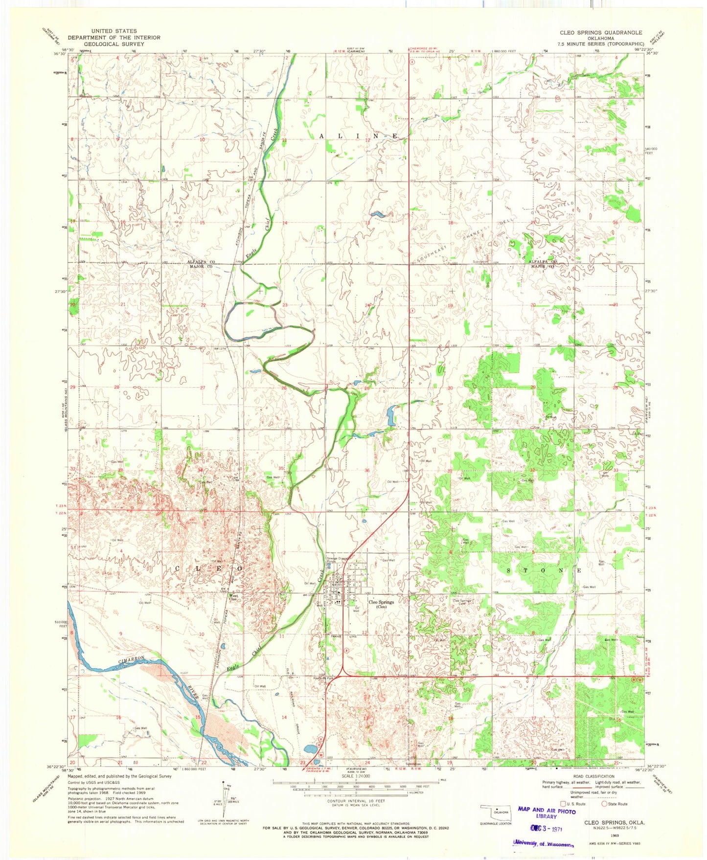
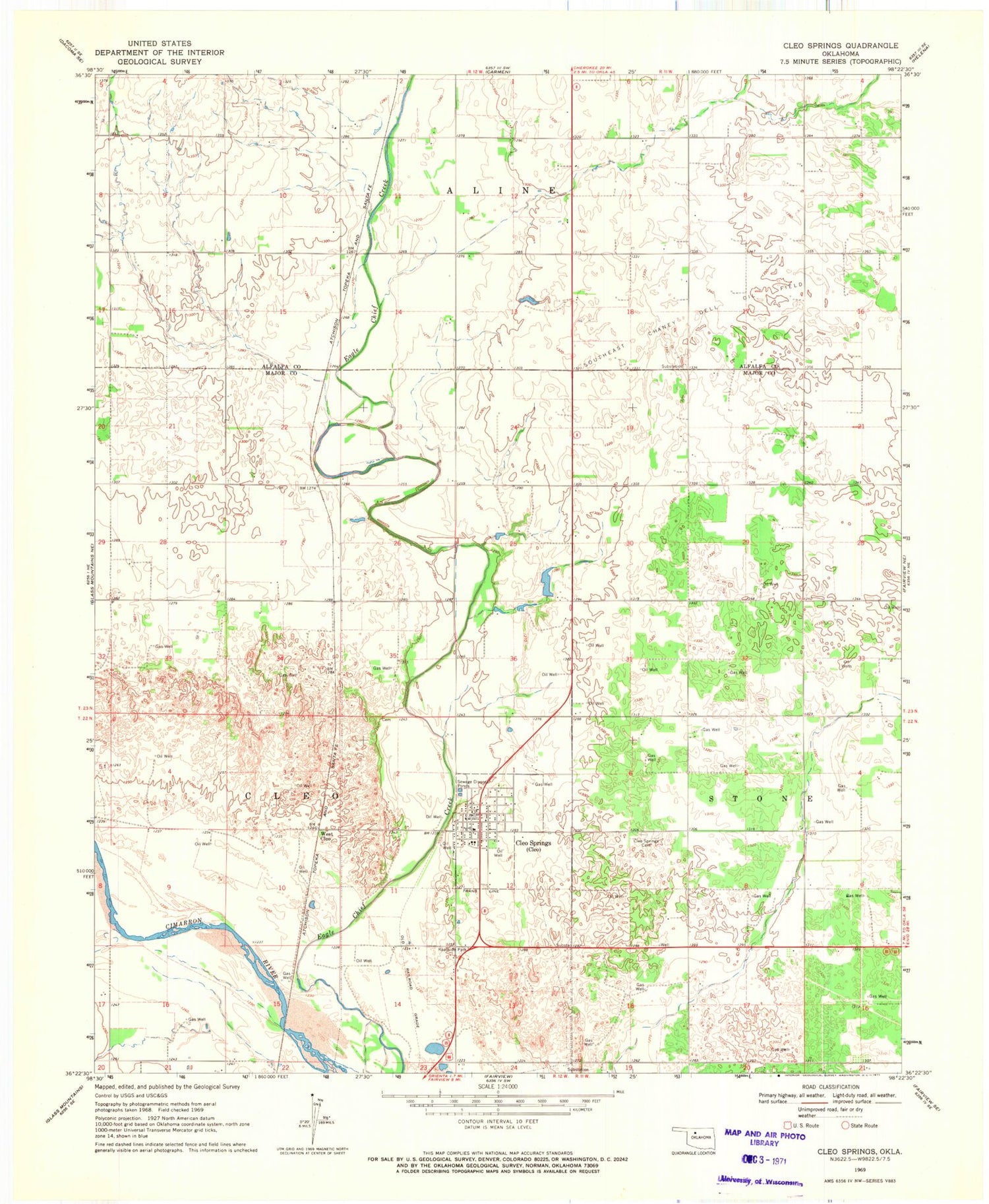
Historical USGS topographic quad map of Cleo Springs in the state of Oklahoma. Map scale may vary for some years, but is generally around 1:24,000. Print size is approximately 24" x 27"
This quadrangle is in the following counties: Alfalfa, Major.
The map contains contour lines, roads, rivers, towns, and lakes. Printed on high-quality waterproof paper with UV fade-resistant inks, and shipped rolled.
Contains the following named places: Aline - Cleo Elementary School, Cleo Springs, Cleo Springs Cemetery, Cleo Springs Post Office, Cleo Springs Volunteer Fire Department, Eagle Chief Airport, Oknoname 093002 Dam, Oknoname 093002 Reservoir, Town of Cleo Springs, Township of Aline, Township of Cleo, West Cleo, ZIP Code: 73729