MyTopo
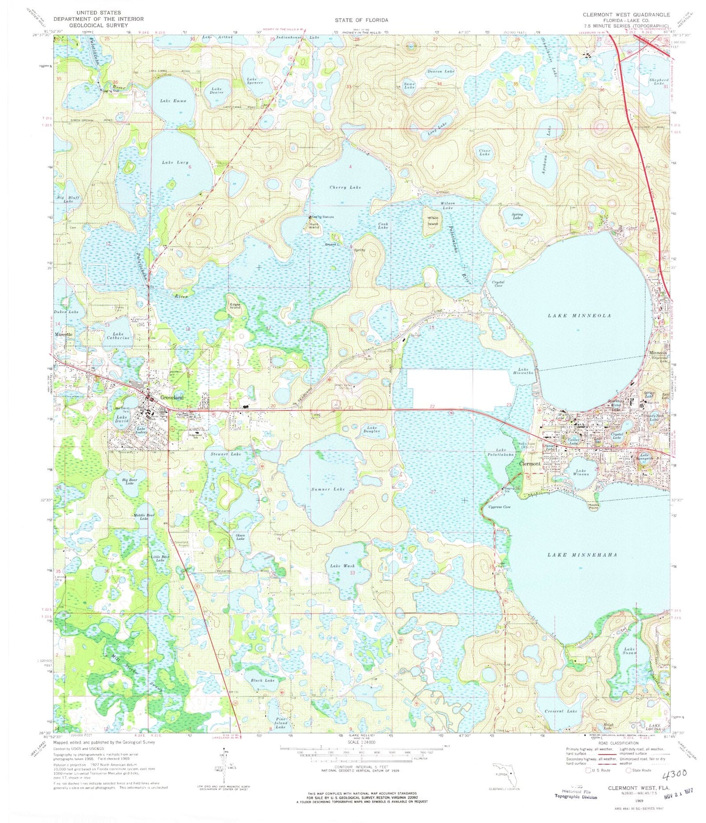
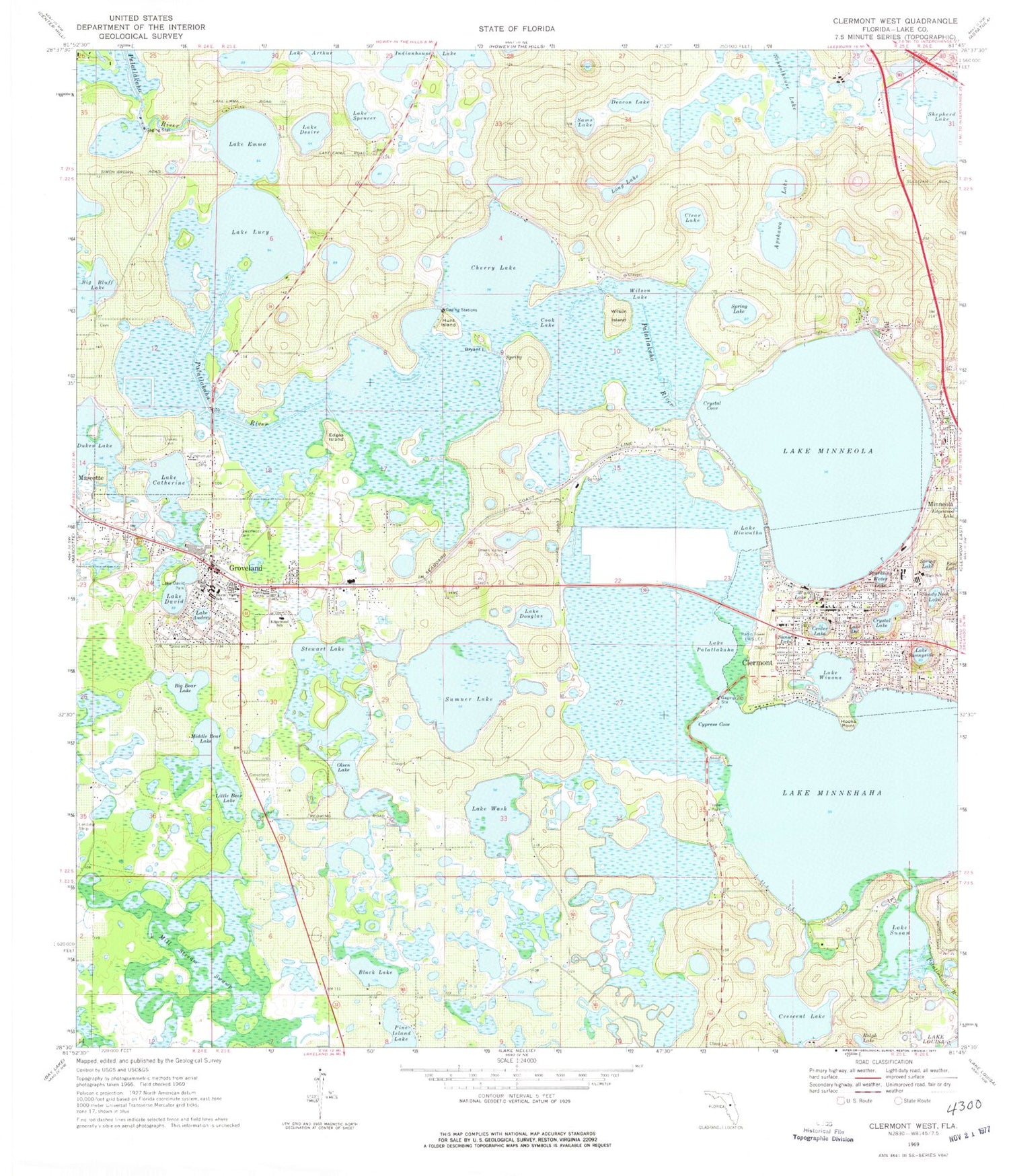
Classic USGS Clermont West Florida 7.5'x7.5' Topo Map
Couldn't load pickup availability
Historical USGS topographic quad map of Clermont West in the state of Florida. Map scale may vary for some years, but is generally around 1:24,000. Print size is approximately 24" x 27"
This quadrangle is in the following counties: Lake.
The map contains contour lines, roads, rivers, towns, and lakes. Printed on high-quality waterproof paper with UV fade-resistant inks, and shipped rolled.
Contains the following named places: Africa Inland Mission, Apshawa Lake, Big Bear Lake, Big Bluff Lake, Black Lake, Blessed Sacrament Catholic Church of Clermont, Bryant Island, Card Sound Golf Club, Cecil E Gray Middle School, Center Lake, Cherry Lake, Christian and Missionary Alliance, Church of Christ, Church of Christ of Groveland, Church of God by Faith, Church of God the Bibleway, Church of Jesus Christ of Latter Day Saints, City of Groveland, Clarence Bishop Memorial Field, Clear Lake, Clermont, Clermont Baptist Church, Clermont Correctional Institution Water Tower, Clermont Fire Department, Clermont Fire Department Station 1, Clermont Fire Department Support Services, Clermont Middle School, Clermont Police Department, Clermont Post Office, Clermont Seventh Day Adventist Church, Clermont Water Pollution Control Facility, Clermont-Jenkins City Auditorium, Cook Lake, Crescent Lake, Crystal Cove, Crystal Lake, Cypress Cove, Cypress Ridge Elementary School, Davis School, Deacon Lake, Dukes Cemetery, Dukes Lake, Edge Memorial United Methodist Church, Edges Island, Edgewood Cemetery, Edgewood Lake, Edgewood School, Emerald Lakes Mobile Village, Emmauel Camp, Faith Fellowship Church, First Baptist Church of Clermont, First Baptist Church of Groveland, First Christian Church School, First Church of Christ Scientist, First Missionary Baptist Church, First United Methodist Church, Florida Baptist Encampment, Greater Harmony Missionary Baptist Church, Green Valley Golf Club, Greenwood Cemetery, Groveland, Groveland Academy, Groveland Baptist Church, Groveland Church of Christ, Groveland Electric Substation, Groveland Elementary School, Groveland Fire Department Station 1, Groveland Fire Department Station 94, Groveland High School, Groveland Police Department, Groveland Post Office, Groveland Utilities Communications, Groveland Waste Water Plant, Groveland Water Tower, Harmony Baptist Church, Heart House Community Church, Highlands Mobile Home Park, Hooks Point, House of Deliverance Incorporated, Hunt Island, Indianhouse Lake, Jiles Memorial Church of God by Faith, Jones Cypress Cove Resort Mobile Home Park, Kingdom Hall of Jehovahs Witnesses, Kings Field, Lake Audrey, Lake Catherine, Lake Correctional Institution, Lake County Fire Rescue Station 109, Lake County Sheriff's Office Minneola Substation, Lake David, Lake David Park, Lake Desire, Lake Dot, Lake Douglas, Lake Emergency Medical Services Station 351, Lake Emma, Lake Hiawatha, Lake Lucy, Lake Memory, Lake Minnehaha, Lake Minneola, Lake Palatlakaha, Lake Spencer, Lake Sunnyside, Lake Susan, Lake Wash, Lake Winona, Little Bear Lake, Long Lake, Marion Baysinger Memorial Library, Middle Bear Lake, Mill Stream Swamp, Minneola City Hall, Minneola Fire / Rescue Station 90, New Jacobs Chapel Missionary Baptist Church, Noah's Ark, Oak Hill Cemetery, Oak Lane Mobile Home Park, Olsen Lake, Open Door Baptist Church, Palatlakaha Recreation Area, Praise Temple Church of God, Ralph Lake, Saint Matthias Episcopal Church, Sams Lake, Schoolhouse Lake, Shady Nook Lake, Sheets Airport, Shepherd Lake, South Lake High School, South Lake High School Stadium, South Lake Plaza, South Lake Presbyterian Church, Sparkling Water Lake, Spring Lake, Stewart Lake, Sumner Lake, Sunset Lake, Timber Village Mobile Home Park, Triumphant Gospel Church, West Lake, Westgate Plaza, Wilson Island, Wilson Lake, Woods - Boyd Family Cemetery, Wootson Memorial Church of God in Christ, WWFL-AM (Clermont), Zion Lutheran Church, ZIP Code: 34711


