MyTopo
Classic USGS Clermont New York 7.5'x7.5' Topo Map
Couldn't load pickup availability
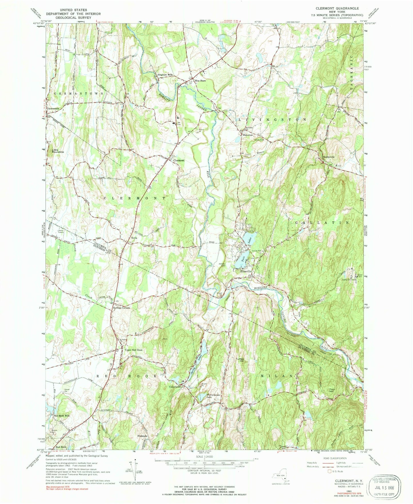
Historical USGS topographic quad map of Clermont in the state of New York. Map scale may vary for some years, but is generally around 1:24,000. Print size is approximately 24" x 27"
This quadrangle is in the following counties: Columbia, Dutchess.
The map contains contour lines, roads, rivers, towns, and lakes. Printed on high-quality waterproof paper with UV fade-resistant inks, and shipped rolled.
Contains the following named places: Alison Vineyards, Bingham Mills, Blue Store, Brook N Wood Family Campground, Camp Columbia, Christ Lutheran Church, Clermont, Clermont Bible Church, Clermont Cemetery, Clermont Town Hall, Clermont Volunteer Fire Department Station 1, Cokertown, Cokertown School, Devereux in New York School, Doove Kill, Elizaville, Elizaville Cemetery, Elizaville Methodist Church, Elizaville Post Office, Fraleighs, Greig Farm, Greig Farm Airport, Kerleys Corners, Little Roundtop, Manorton, Mead Orchards, Migliorelli Farm, Mill Road Intermediate School, Mill Road Primary School, Nevis, New Beginnings Assembly of God Church, Oriole Orchards, Red Hook Mills, Red Hook Residential Center, Rider Farm, Rose Hill Farm, Saint Johns Church, Saint John's Church Cemetery, Saint John's Lutheran Church Cemetery, Saint John's Reformed Church, Saint Luke's Church, School Number 3, Snyderville, Snyderville School, SOP Airport, Spring Lakes, Tory Hill, Town of Clermont, Turkana Farm, Turkey Hill, Twin Lakes, Upper Red Hook, Upper Red Hook Census Designated Place, Viewmonte, Warackamac Lake, Wil-Hi Farms, ZIP Codes: 12523, 12526, 12571, 12583


