MyTopo
Classic USGS Cleveland Arkansas 7.5'x7.5' Topo Map
Couldn't load pickup availability
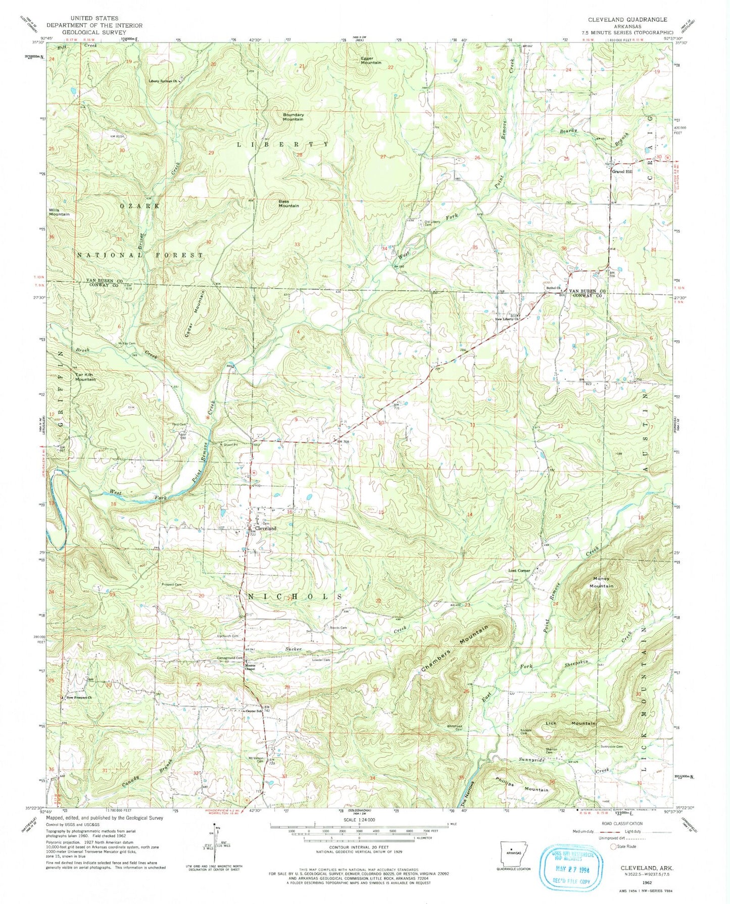
Historical USGS topographic quad map of Cleveland in the state of Arkansas. Map scale may vary for some years, but is generally around 1:24,000. Print size is approximately 24" x 27"
This quadrangle is in the following counties: Conway, Van Buren.
The map contains contour lines, roads, rivers, towns, and lakes. Printed on high-quality waterproof paper with UV fade-resistant inks, and shipped rolled.
Contains the following named places: Bass Mountain, Beardy Branch, Bethel Church, Blick, Boundary Mountain, Brents Cemetery, Brock Creek, Campground Cemetery, Cedar Mountain, Center School, Chambers Mountain, Cleveland, Cleveland Fire Department District 6, Cleveland Post Office, Driver Creek, Driver Creek Lake, East Fork Point Remove Site Five Dam, East Fork Point Remove Site Five Reservoir, East Fork Point Remove Site Four Dam, East Fork Point Remove Site Four Reservoir, East Fork Point Remove Site Six Dam, East Fork Point Remove Site Six Reservoir, East Fork Point Remove Site Three Dam, East Fork Point Remove Site Three Reservoir, Egger Mountain, Gravel Hill, Liberty Springs, Liberty Springs Cemetery, Liberty Springs Church of Christ, Lick Mountain, Lost Corner, Lowder Cemetery, McKay Cemetery, Money Mountain, Moores Chapel, Mount Vernon Cemetery, New Liberty Church, New Prospect Church, Nichols Cemetery, Old Liberty, Old Liberty Cemetery, Phillips Mountain, Prospect Cemetery, Reid Cemetery, Sharron Cemetery, Sheepskin Creek, Sucker Creek, Sunnyside Cemetery, Sunnyside Creek, The Narrows, Township of Nichols, Upchurch Cemetery, West Fork Point Remove Creek Site Four Dam, West Fork Point Remove Creek Site Four Reservoir, West Fork Point Remove Creek Site One Dam, West Fork Point Remove Creek Site One Reservoir, West Fork Point Remove Creek Site Two Dam, Whitehead Cemetery, ZIP Code: 72030


