MyTopo
Classic USGS Cleveland Florida 7.5'x7.5' Topo Map
Couldn't load pickup availability
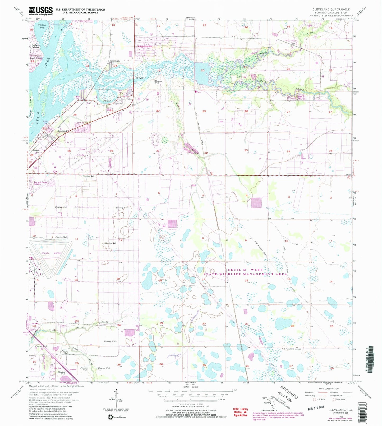
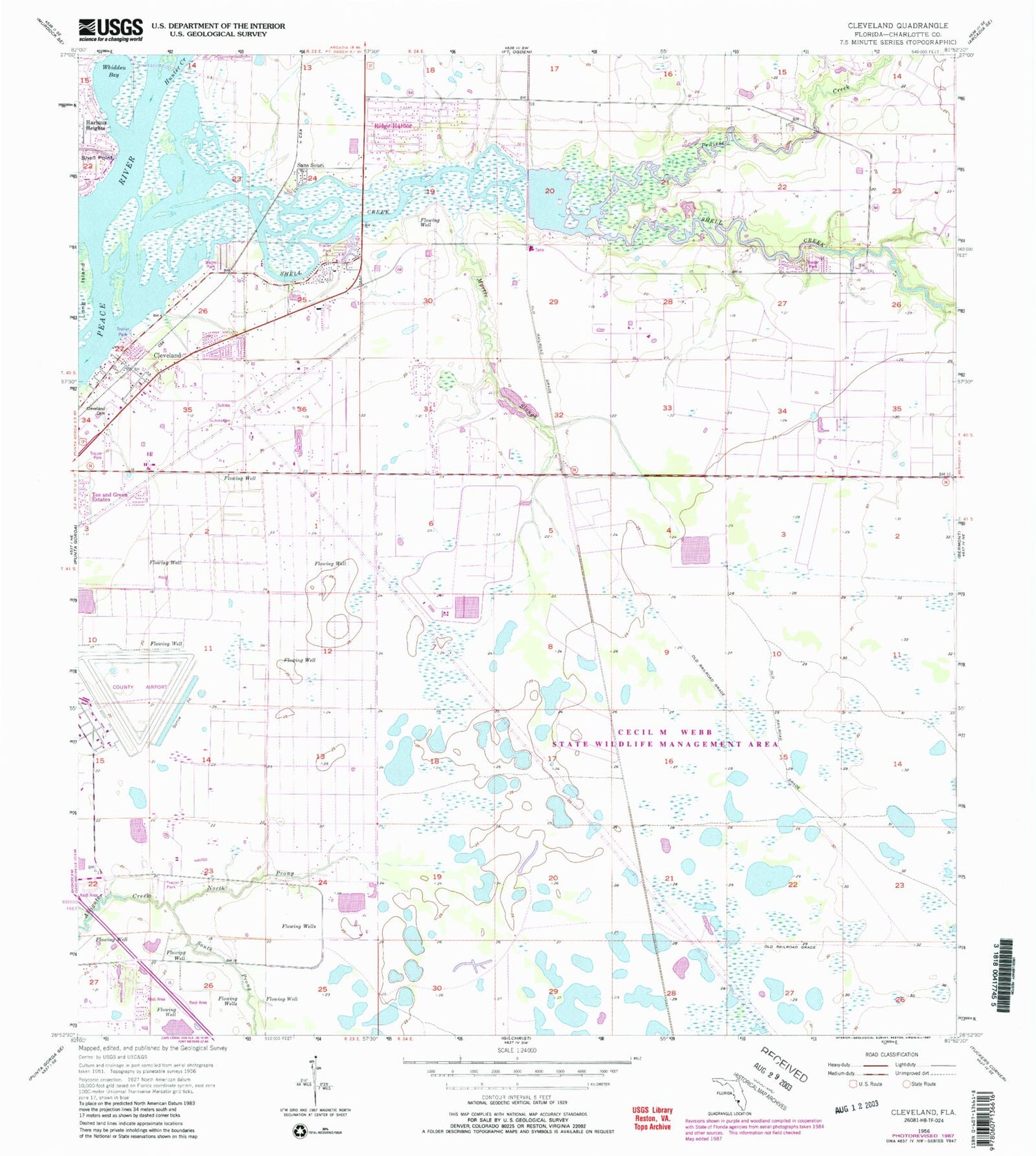
Historical USGS topographic quad map of Cleveland in the state of Florida. Map scale may vary for some years, but is generally around 1:24,000. Print size is approximately 24" x 27"
This quadrangle is in the following counties: Charlotte.
The map contains contour lines, roads, rivers, towns, and lakes. Printed on high-quality waterproof paper with UV fade-resistant inks, and shipped rolled.
Contains the following named places: Air Trek Medical Transport, Between the Grades Lake, Blue Heron Pines, Charlotte County, Charlotte County Fire and Emergency Medical Services Station 6, Cleveland, Cleveland Census Designated Place, Cleveland United Methodist Church, First Baptist Church of Cleveland, Hunter Creek, Ladle Lake, Lazy Lagoon Mobile Park, Lieutenant Carl Bailey Cemetery, Myrtle Creek, Myrtle Slough, North Prong Alligator Creek, Ponderosa Mobile Home Park, Prairie Creek, Punta Gorda Airport, Punta Gorda Army Air Field, Ridge Harbor, Riverside Oaks Mobile Home Park, Royal Palm Memorial Gardens, Saint Johns Golf and Country Club, Sans Souci, Shell Creek, Shell Creek Airpark, Shell Creek Bridge, Shell Creek Resort Mobile Home Park, South Prong Alligator Creek, Ventura Lakes Mobile Home Park, Whidden Bay


