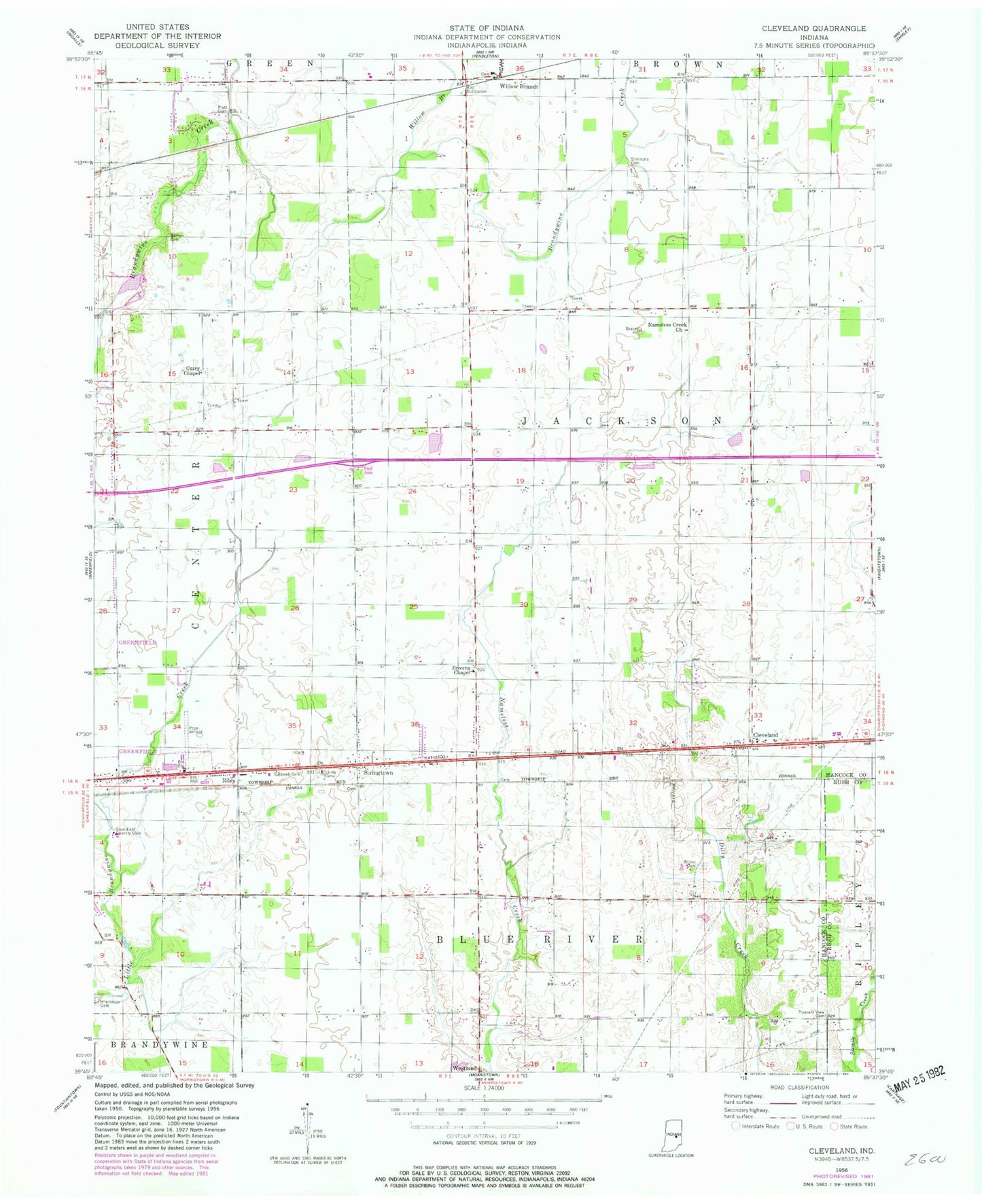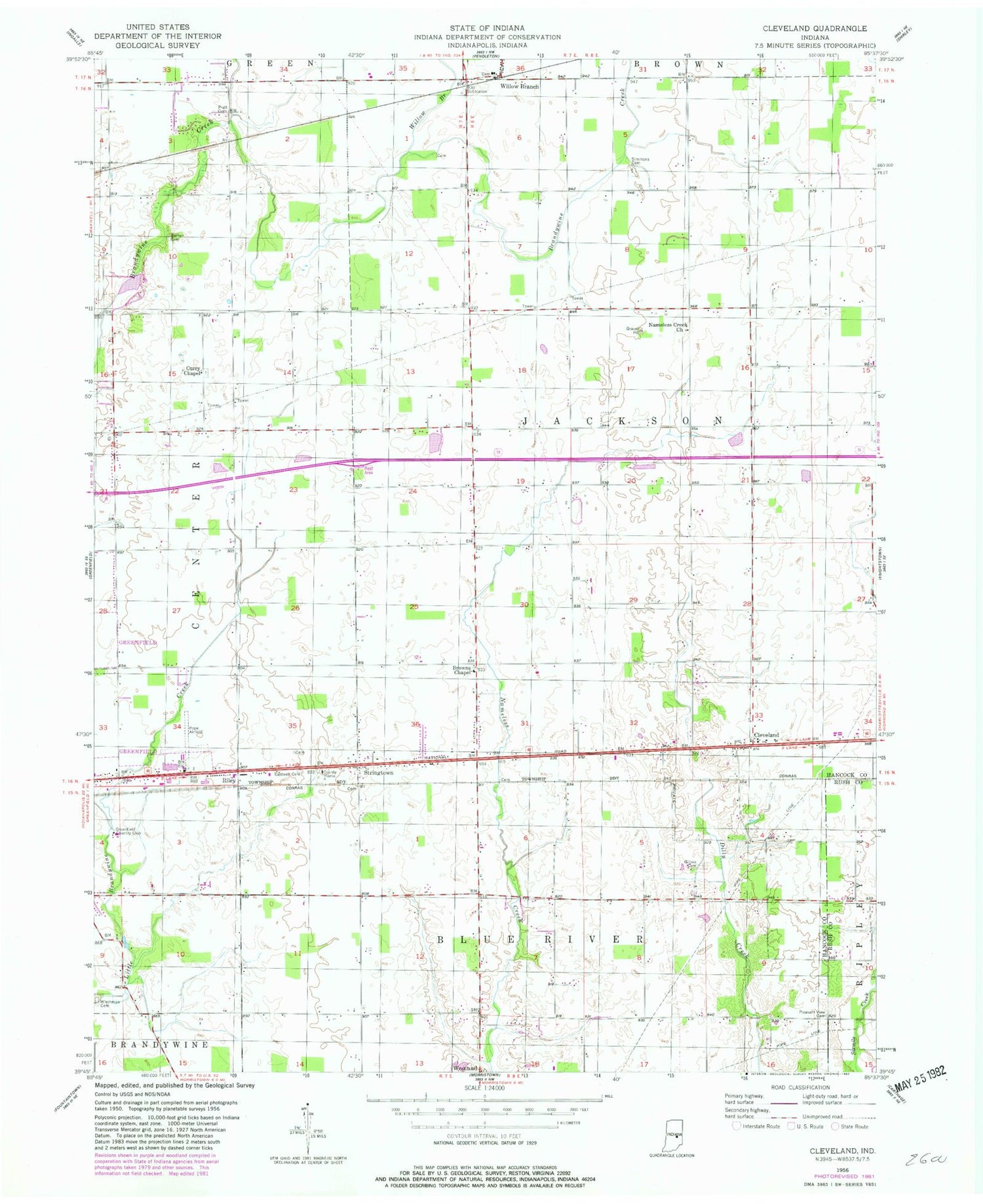
MyTopo
Classic USGS Cleveland Indiana 7.5'x7.5' Topo Map
Couldn't load pickup availability
Historical USGS topographic quad map of Cleveland in the state of Indiana. Map scale may vary for some years, but is generally around 1:24,000. Print size is approximately 24" x 27"
This quadrangle is in the following counties: Hancock, Rush.
The map contains contour lines, roads, rivers, towns, and lakes. Printed on high-quality waterproof paper with UV fade-resistant inks, and shipped rolled.
Contains the following named places: Baptist - Braddock Cemetery, Barrett Cemetery, Browns Chapel, Caldwell Cemetery, Cleveland, Curry Chapel, Gilboa Cemetery, Greenfield Country Club, Hinchman Cemetery, Lost Forty Tree Farm, Nameless Creek Church, Oakes Field, Pleasant Hill, Pleasant View Cemetery, Pope Field, Pratt Cemetery, Riley, Simmons Cemetery, Stringtown, Township of Jackson, Westland, Willow Branch