MyTopo
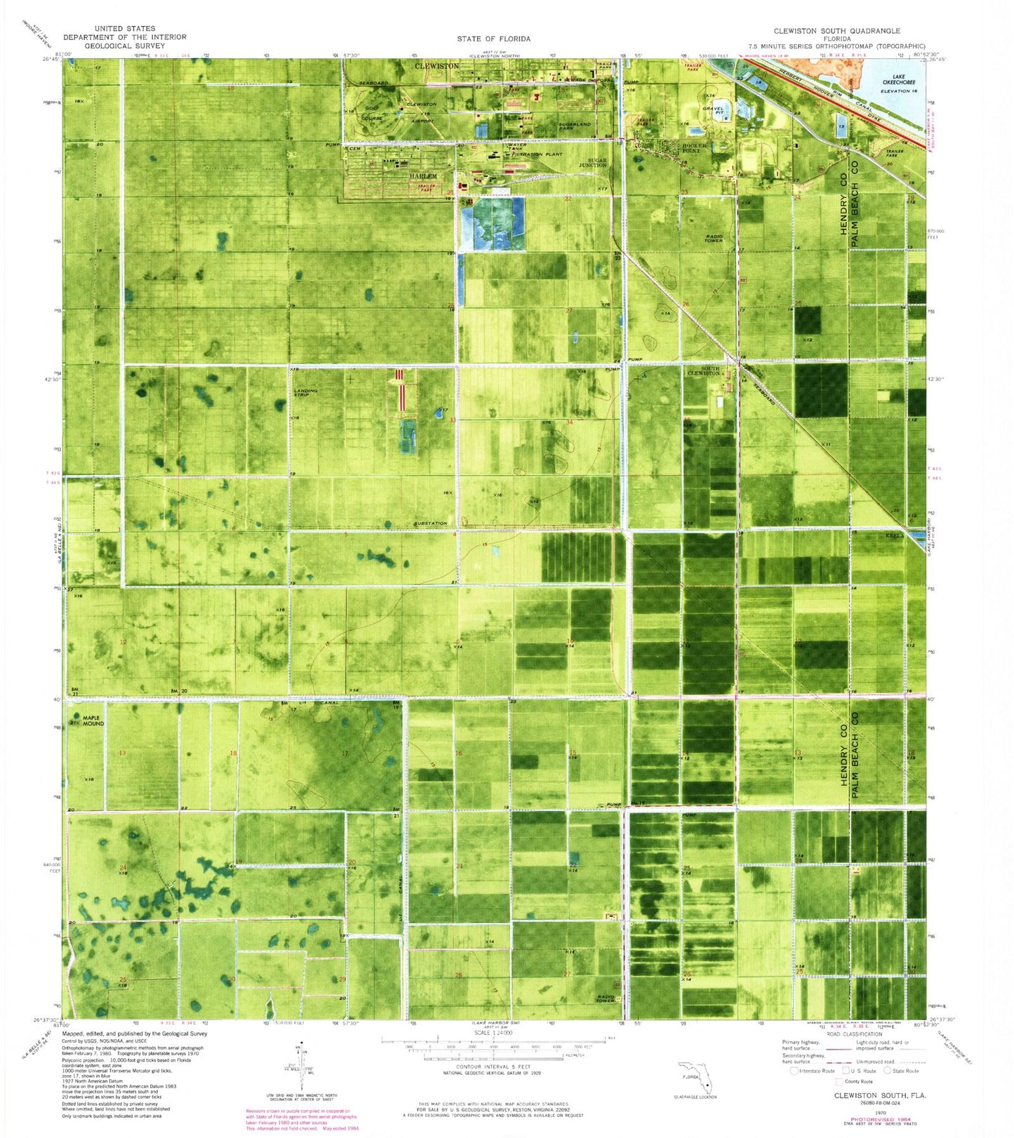
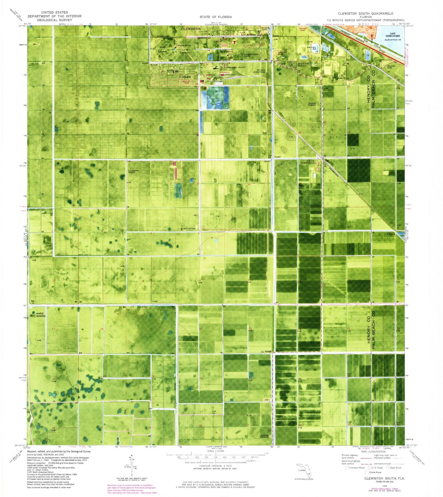
Classic USGS Clewiston South Florida 7.5'x7.5' Topo Map
Couldn't load pickup availability
Historical USGS topographic quad map of Clewiston South in the state of Florida. Map scale may vary for some years, but is generally around 1:24,000. Print size is approximately 24" x 27"
This quadrangle is in the following counties: Hendry, Palm Beach.
The map contains contour lines, roads, rivers, towns, and lakes. Printed on high-quality waterproof paper with UV fade-resistant inks, and shipped rolled.
Contains the following named places: Carolina Golf Club, City of Clewiston Wastewater Treatment Facility, Clewiston Airport, Clewiston High School, Clewiston Primary School, Everglades Mobile Home Park, Fairgrounds Mobile Home Park, First Apostolic Church of Clewiston, Foxbriar Mobile Home Park, Harlem, Harlem Census Designated Place, Harlem Community Library, Hendry County Sheriff's Office East District Headquarters, Hooker Point, Keela, Kites Nest Mobile Home Park, L-1 Canal, Maple Mound, Mount Calvary Missionary Church, New Life Bible Learning Center, Oaklane Mobile Home Park, Seminole Tribe Police, South Clewiston, Sugar Junction, Sugarland Mobile Home Park, Sugarland Park, Tropical Mobile Home Village, Truevine Church, Twin Lakes Mobile Home Estates, WAFC-AM (Clewiston), WAFC-FM (Clewiston)


