
MyTopo
Classic USGS Clifdale North Carolina 7.5'x7.5' Topo Map
Couldn't load pickup availability
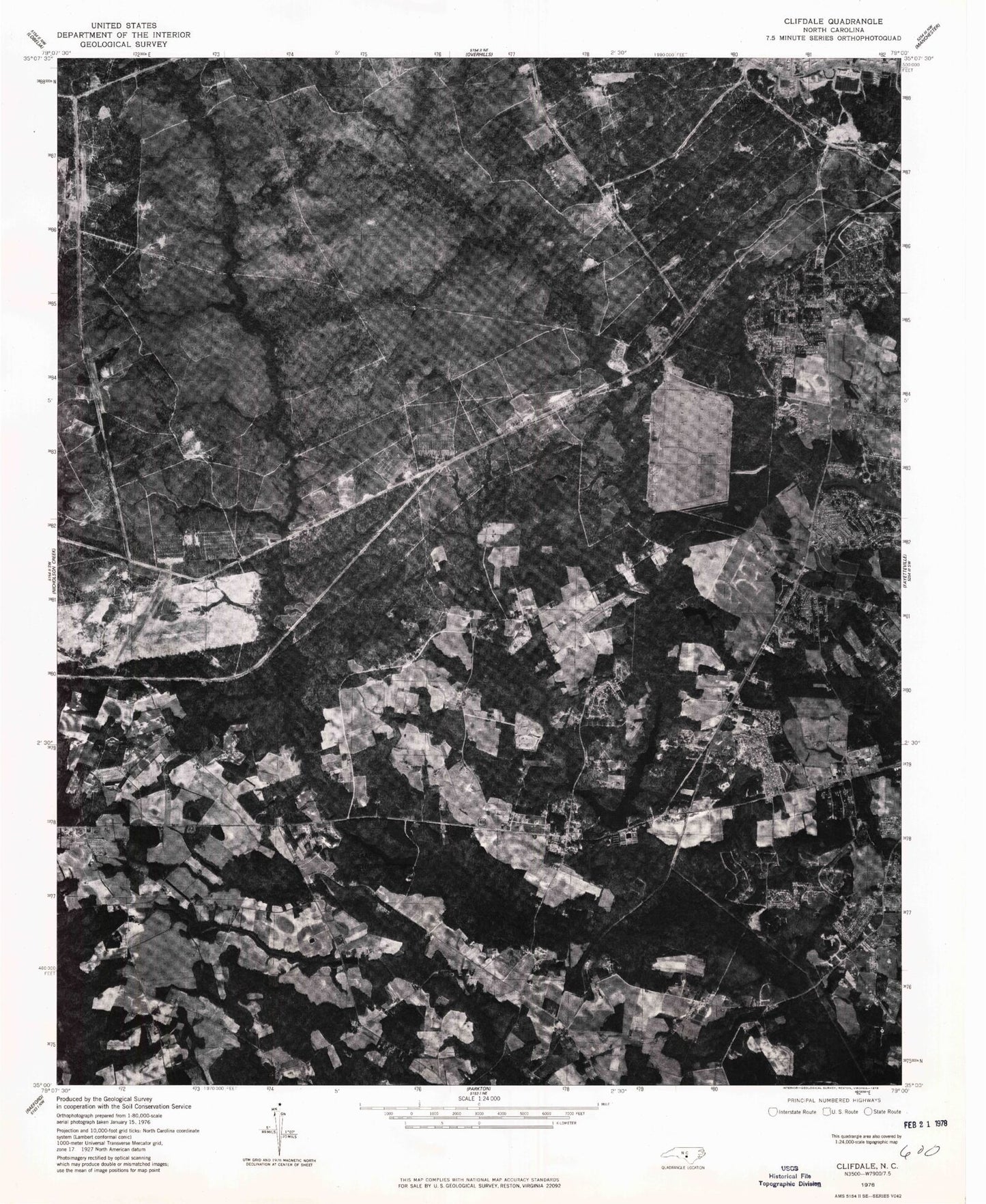
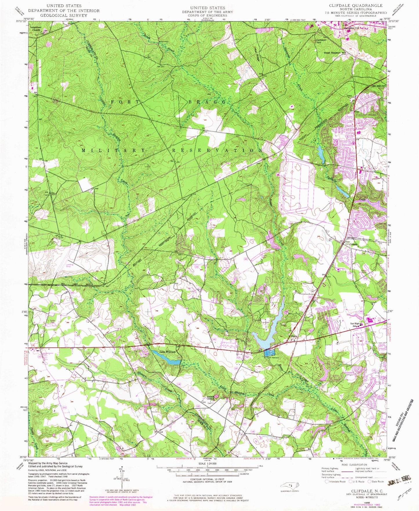
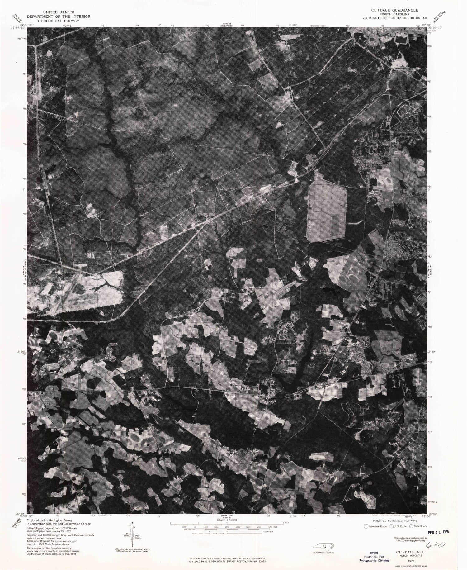
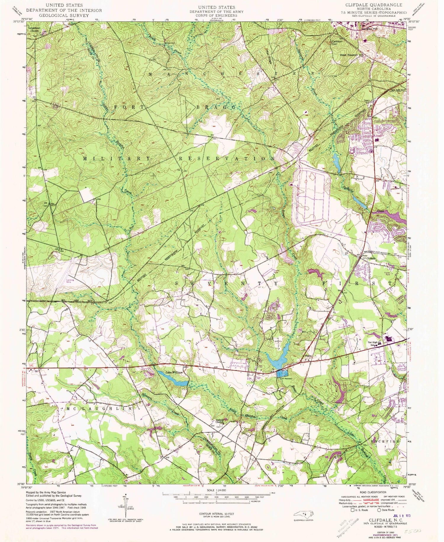
Historical USGS topographic quad map of Clifdale in the state of North Carolina. Map scale may vary for some years, but is generally around 1:24,000. Print size is approximately 24" x 27"
This quadrangle is in the following counties: Cumberland, Hoke.
The map contains contour lines, roads, rivers, towns, and lakes. Printed on high-quality waterproof paper with UV fade-resistant inks, and shipped rolled.
Contains the following named places: Atlantic Coastal Plain, Benjamin J Martin Elementary School, Bluesprings Woods, Bones Creek, Bones Ford, Caisson Hill, Clifdale, Emerald Gardens, Fayetteville Fire Department Station 11, Fayetteville Fire Department Station 15, Fayetteville Fire Department Station 8, Fenix, Fort Bragg Fire and Emergency Services Station 5, Galatia Church, Glenbrook, Hickory Grove, Hutaff Lake, J C Keith Dam, J C Keith Lake, Lake Rim, Lake Rim Dam, Lake William, Lake Williams Dam, Loch Lommond, Lommond Lake, Longstreet Church, Loraine Lake, Loraine Lake Dam, Mac Ridge, NC Noname Eighty-Two Dam, Puppy Creek Fire Department, Saint James Inn Airport, Seventy-First Elementary School, Seventyfirst High School, Township of McLauchlin, Township of Seventy-First, Vaughn Hill, W P Sanders Pond Dam, West Newton Hill, ZIP Code: 28314