MyTopo
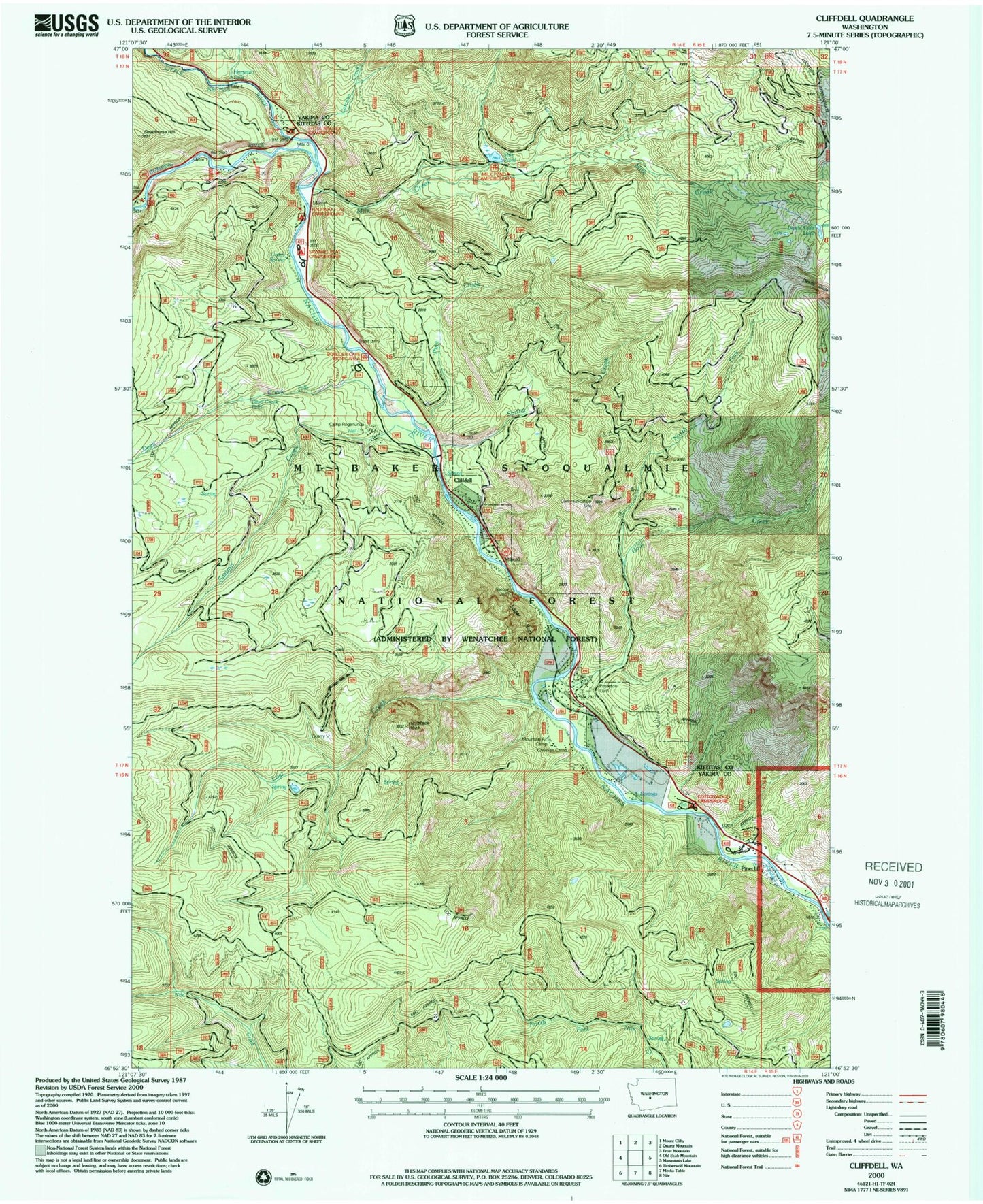
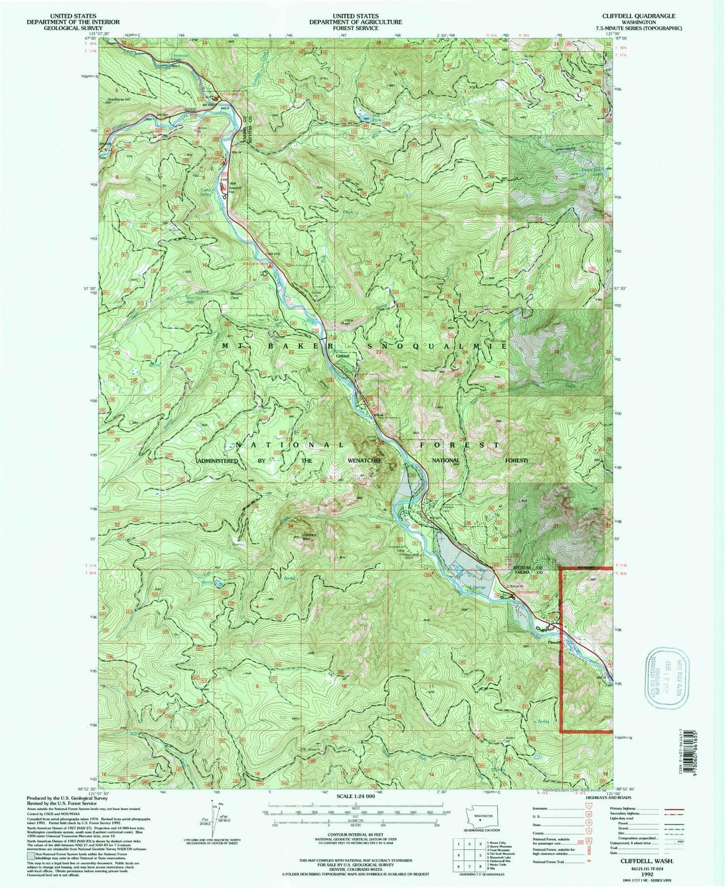
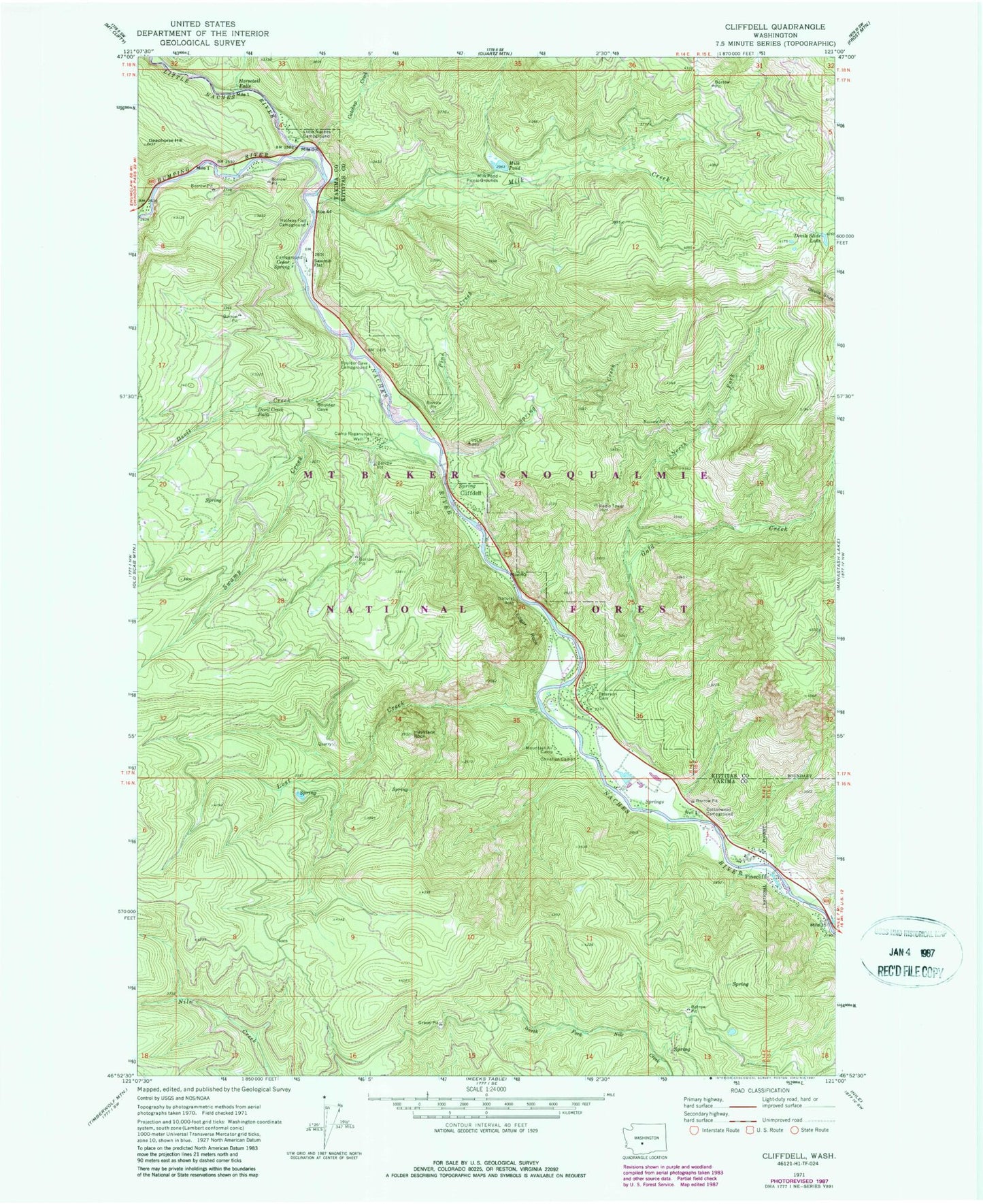
Classic USGS Cliffdell Washington 7.5'x7.5' Topo Map
Couldn't load pickup availability
Historical USGS topographic quad map of Cliffdell in the state of Washington. Map scale may vary for some years, but is generally around 1:24,000. Print size is approximately 24" x 27"
This quadrangle is in the following counties: Kittitas, Yakima.
The map contains contour lines, roads, rivers, towns, and lakes. Printed on high-quality waterproof paper with UV fade-resistant inks, and shipped rolled.
Contains the following named places: Boulder Cave Campground, Bumping River, Camp Roganunda, Catchup Creek, Cedar Spring, Chinook Pass Work Center, Christian Camp, Cliffdell, Cliffdell Census Designated Place, Cottonwood Campground, Deadhorse Hill, Devil Creek, Devil Creek Falls, Devils Slide Lake, Edgar Rock, Edgar Rock Lookout Tower, Gold Creek, Halfway Flat Campground, Haystack Rock, Horsetail Falls, Little Naches Campground, Little Naches River, Little Naches Summer Homes, Lost Creek, Milk Creek, Milk Pond, Milk Pond Dam, Milk Pond Picnic Grounds, Mountain Air Camp, Naches Ranger Station, North Fork Gold Creek, Peterson Cemetery, Pine Creek, Pinecliff, Sawmill Flat, Sawmill Flat Campground, Spring Creek, Swamp Creek


