MyTopo
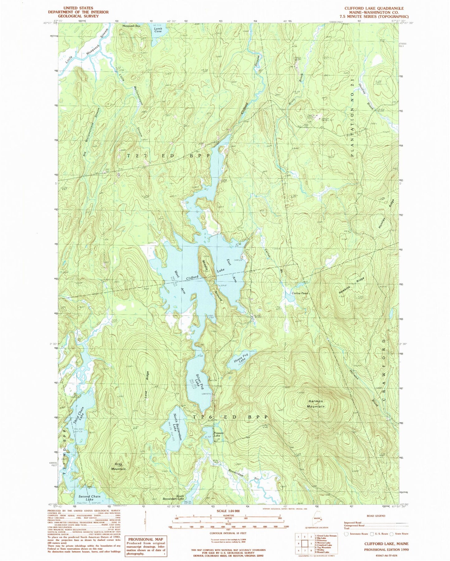
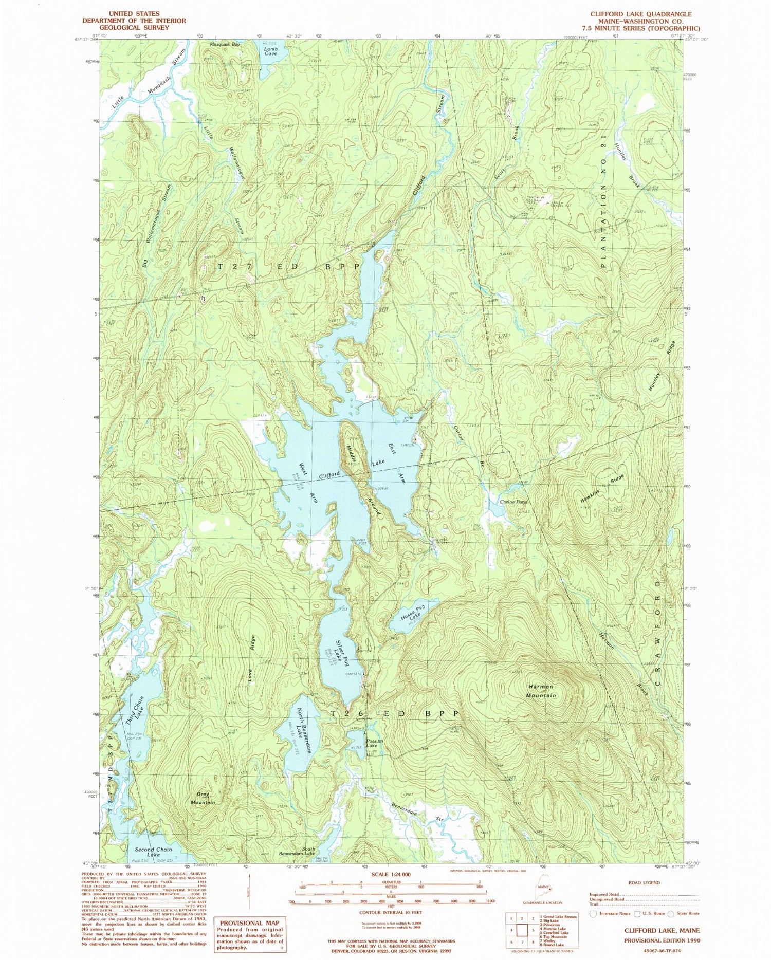
Classic USGS Clifford Lake Maine 7.5'x7.5' Topo Map
Couldn't load pickup availability
Historical USGS topographic quad map of Clifford Lake in the state of Maine. Map scale may vary for some years, but is generally around 1:24,000. Print size is approximately 24" x 27"
This quadrangle is in the following counties: Washington.
The map contains contour lines, roads, rivers, towns, and lakes. Printed on high-quality waterproof paper with UV fade-resistant inks, and shipped rolled.
Contains the following named places: Big Wallamatogue Stream, Carloe Brook, Carloe Pond, Clifford Dam, Clifford Lake, East Arm Clifford Lake, Grey Mountain, Harmon Mountain, Hawkins Ridge, Hosea Pug Lake, Huntley Ridge, Little Wallamatogue Stream, Love Ridge, Middle Ground, North Beaverdam Lake, Possum Lake, Silver Pug Lake, T26 ED BPP, Third Chain Lake, West Arm Clifford Lake