MyTopo
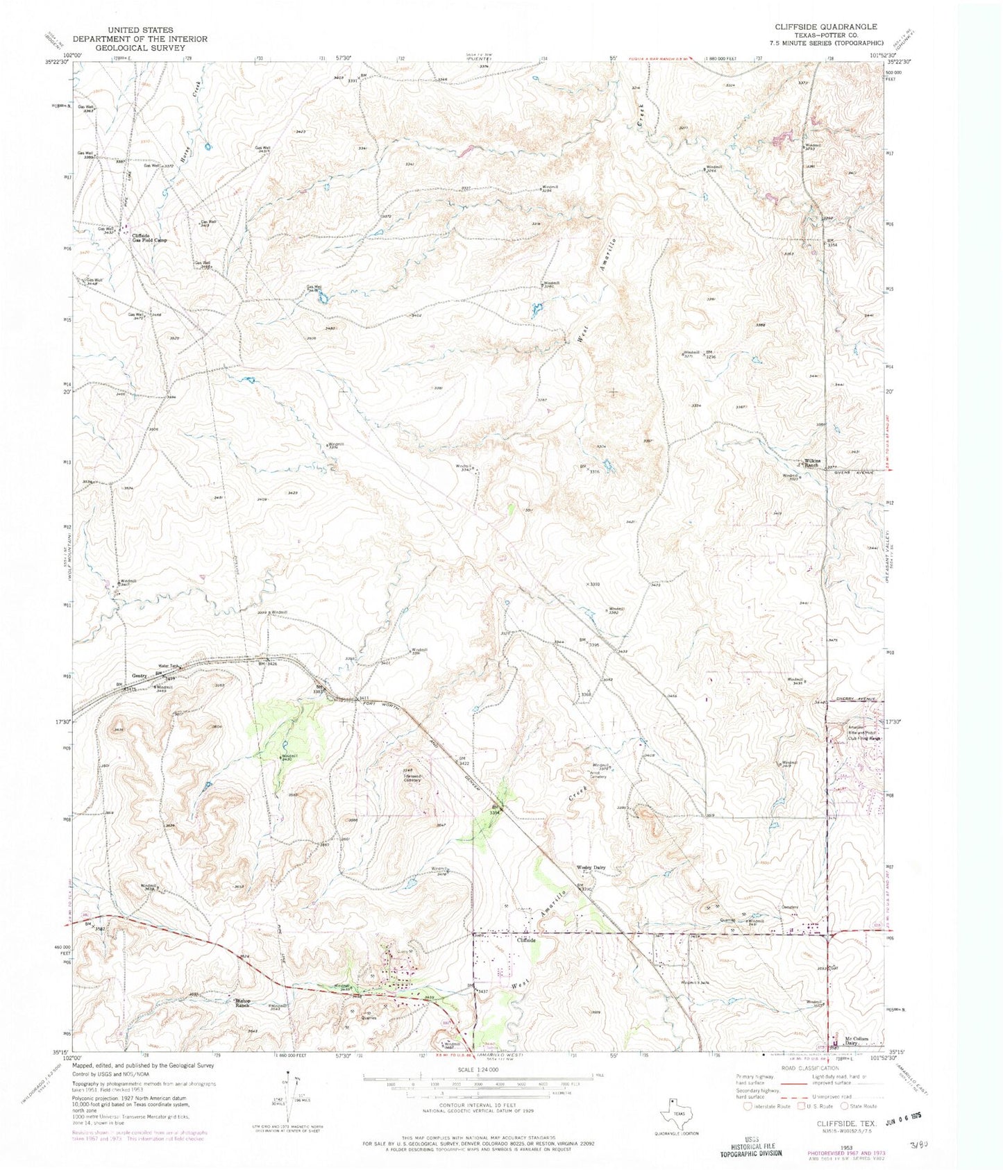
Classic USGS Cliffside Texas 7.5'x7.5' Topo Map
Couldn't load pickup availability
Historical USGS topographic quad map of Cliffside in the state of Texas. Map scale may vary for some years, but is generally around 1:24,000. Print size is approximately 24" x 27"
This quadrangle is in the following counties: Potter.
The map contains contour lines, roads, rivers, towns, and lakes. Printed on high-quality waterproof paper with UV fade-resistant inks, and shipped rolled.
Contains the following named places: Amarillo Rifle and Pistol Club Firing Range, Arnot Cemetery, Bishop Hills, Bishop Ranch, Cliffside, Cliffside Baptist Church, Cliffside Gas Field Camp, Gentry, KLMN-FM (Amarillo), KLSF-FM (Amarillo), KRGN-FM (Amarillo), KVII-TV (Amarillo), McCollum Dairy, Potter County Fire Rescue Station 3, Town of Bishop Hills, Townsend Cemetery, Wesley Dairy, Wilkins Ranch, ZIP Code: 79124