MyTopo
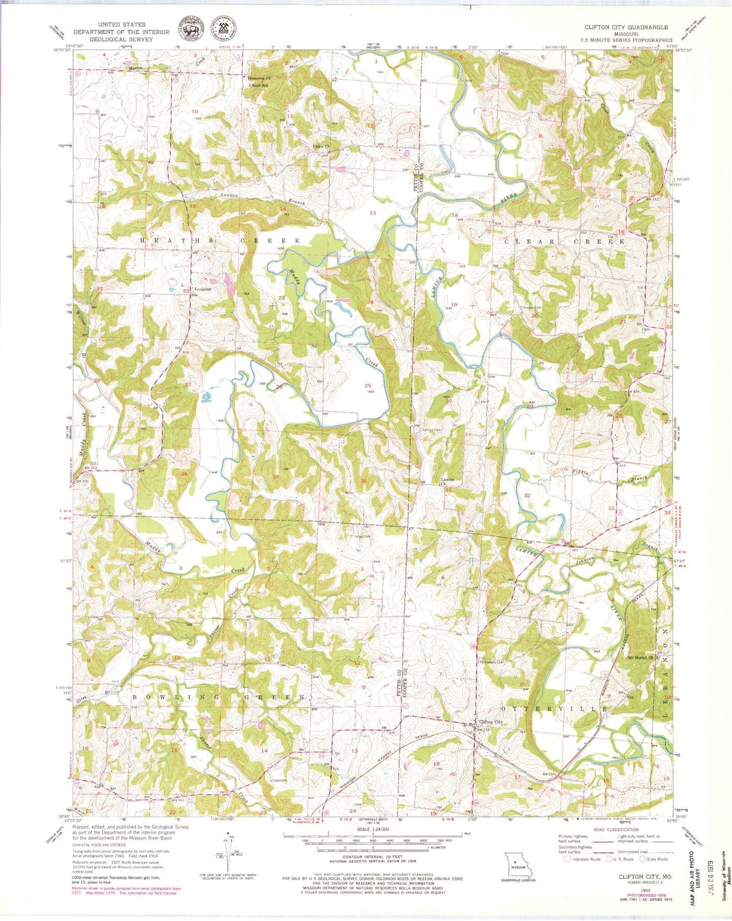
Classic USGS Clifton City Missouri 7.5'x7.5' Topo Map
Couldn't load pickup availability
Historical USGS topographic quad map of Clifton City in the state of Missouri. Map scale may vary for some years, but is generally around 1:24,000. Print size is approximately 24" x 27"
This quadrangle is in the following counties: Cooper, Pettis.
The map contains contour lines, roads, rivers, towns, and lakes. Printed on high-quality waterproof paper with UV fade-resistant inks, and shipped rolled.
Contains the following named places: Bush, Clifton City, Clifton City Fire Department, Dickman Lake Dam, Dilthey Lake Dam, Fortune Lake Dam, Fortunes Lake, Irwin Cemetery, Johnson Branch, Lamine Cemetery, Lamine Church, Lamine School, Landon Branch, Lee Cemetery, Lookout, Lovelace School, Memorial Church, Mount Moriah Church, Muddy Creek, Olive Branch, Pipkin Branch, Reinharot School, Saint Josephs Cemetery, Scott School, Shaver Creek, Sowers Cemetery, Sweeney, Township of Bowling Green, Township of Heath Creek, Union Church, Vollmer School, Willow Branch


