MyTopo
Classic USGS Clifton Arizona 7.5'x7.5' Topo Map
Couldn't load pickup availability
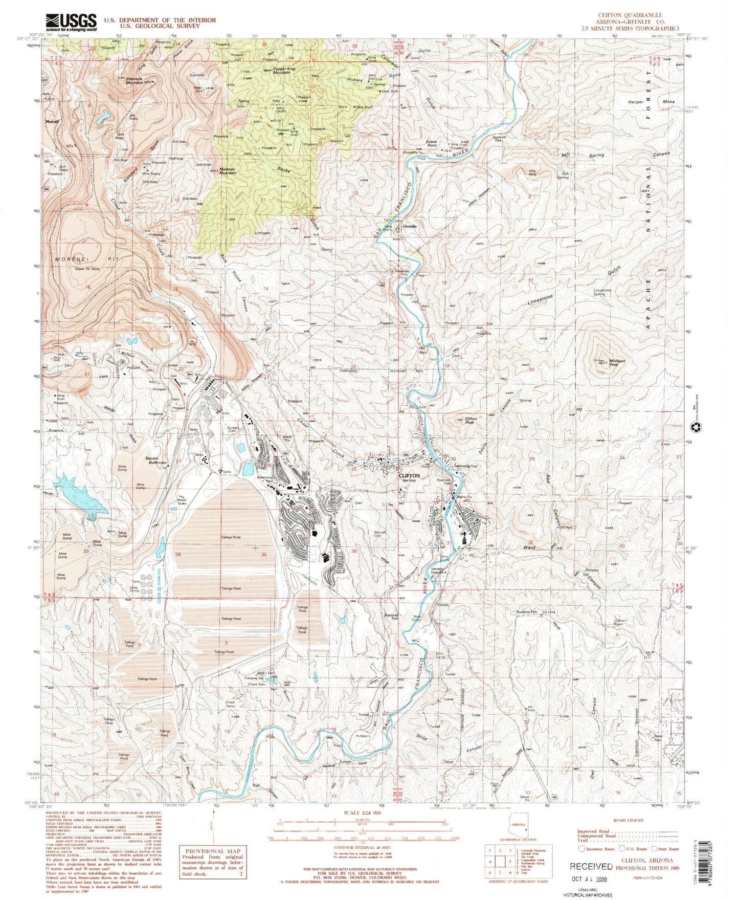
Historical USGS topographic quad map of Clifton in the state of Arizona. Map scale may vary for some years, but is generally around 1:24,000. Print size is approximately 24" x 27"
This quadrangle is in the following counties: Greenlee.
The map contains contour lines, roads, rivers, towns, and lakes. Printed on high-quality waterproof paper with UV fade-resistant inks, and shipped rolled.
Contains the following named places: Ash Spring, Ash Spring Canyon, Blackbridge Picnic Area, Bunkers Cemetery, Cement Spring, Chase Creek, Clifton, Clifton Cemetery, Clifton City Hall, Clifton Fire Department, Clifton High School, Clifton Hot Springs, Clifton Peak, Clifton Police Department, Clifton Post Office, Clifton Railroad Station, Colorado Gulch, Copper King Mountain, Coronado Elementary School, Devils Canyon, Dorsey Gulch, Drive Canyon, East Plantsite, Evans Point, First Assembly of God, Greenlee Alternative School, Greenlee County Health Department, Greenlee County Sheriff's Office, Greenlee County Superior Court, Harper Mesa, Hickory Gulch, Holy Cross Catholic Church, Hot Spring, Humboldt Elementary School, KCUZ-AM (Clifton), King Creek, King Gulch, KJJJ-FM (Clifton), KLCF-AM (Clifton), Laugharn Elementary School, Liem Primary School, Limestone Gulch, Limestone Spring, Longfellow Elementary School, Markeen Mountain, Metcalf, Metcalf Cemetery, Metcalf Elementary School, Metcalf Post Office, Modoc Mountain, Morenci, Morenci Census Designated Place, Morenci Gulch, Morenci High School, Morenci Mountain, Morenci Open Pit, Morenci Post Office, Mulligan Peak, Murdock Elementary School, Old Morenci Catholic Cemetery, Oroville, Placer Gulch, Plantsite, Red Canyon, Rock House Canyon, Rocky Gulch, Sacred Heart Cemetery, Shannon Mountain, Silver Basin Creek, Smelter Hill, Square Butte, Standard Gulch, Stargo, Stargo Gulch, Tailings Water Reclamation Dam, Tailings Water Reclamation Reservoir, The Church of Jesus Christ of Latter Day Saints, The Church of Saints Philip and James Episcopal Church, Town of Clifton, Trail Canyon, Ward Canyon, West Brushy Canyon


