MyTopo
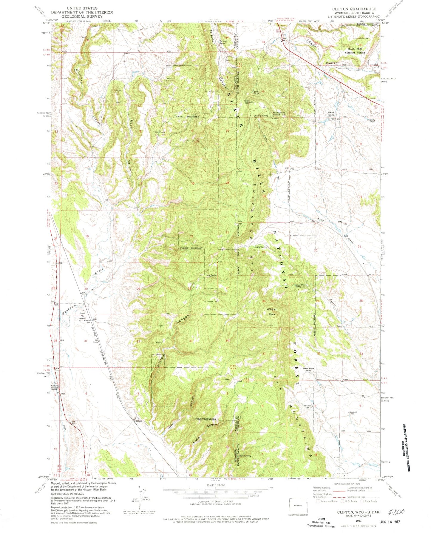
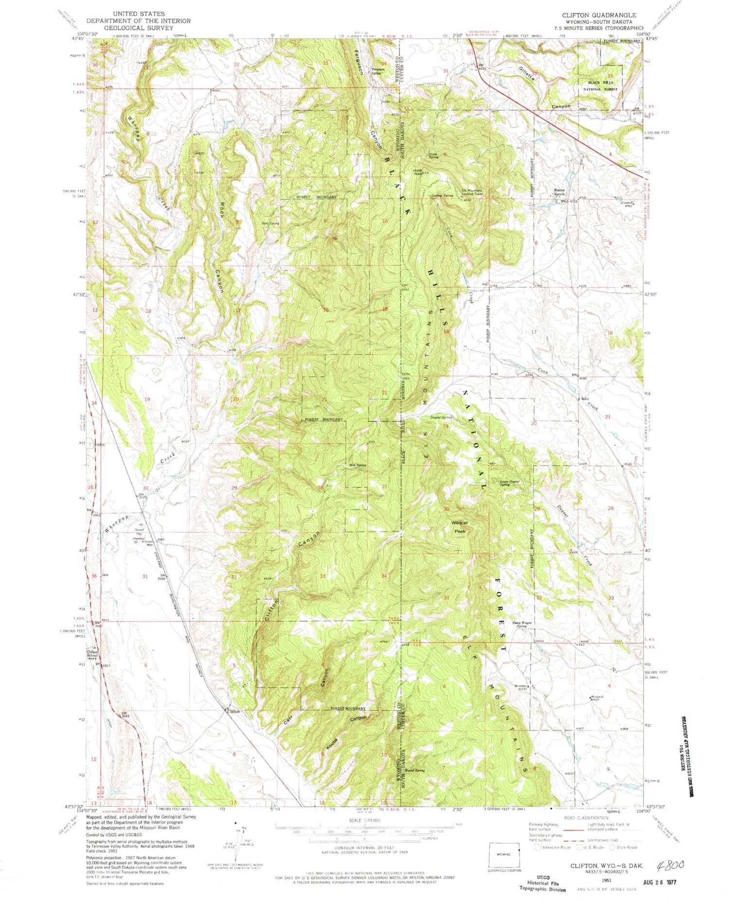
Classic USGS Clifton Wyoming 7.5'x7.5' Topo Map
Couldn't load pickup availability
Historical USGS topographic quad map of Clifton in the states of Wyoming, South Dakota. Map scale may vary for some years, but is generally around 1:24,000. Print size is approximately 24" x 27"
This quadrangle is in the following counties: Custer, Weston.
The map contains contour lines, roads, rivers, towns, and lakes. Printed on high-quality waterproof paper with UV fade-resistant inks, and shipped rolled.
Contains the following named places: Alray Prospect, Barrel Spring, Blaine Ranch, Buck Spring Canyon, Carr Canyon, Clifton, Clifton Canyon, Clifton School, Dugout Spring, Elk Mountains, Elk Mountains Lookout Tower, Ferguson Spring, Foster Mine, Gurney Spring, Highlands Volunteer Fire Department, Kouba Canyon, L. Shuck Property Mine, Lower Dugout Spring, Mix Spring, North Spring, Rock Canyon, Sheep Wagon Spring, Slate Spring, Wildcat Peak


