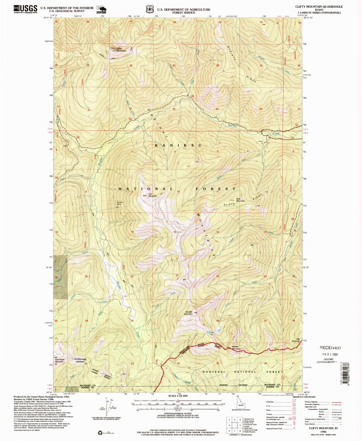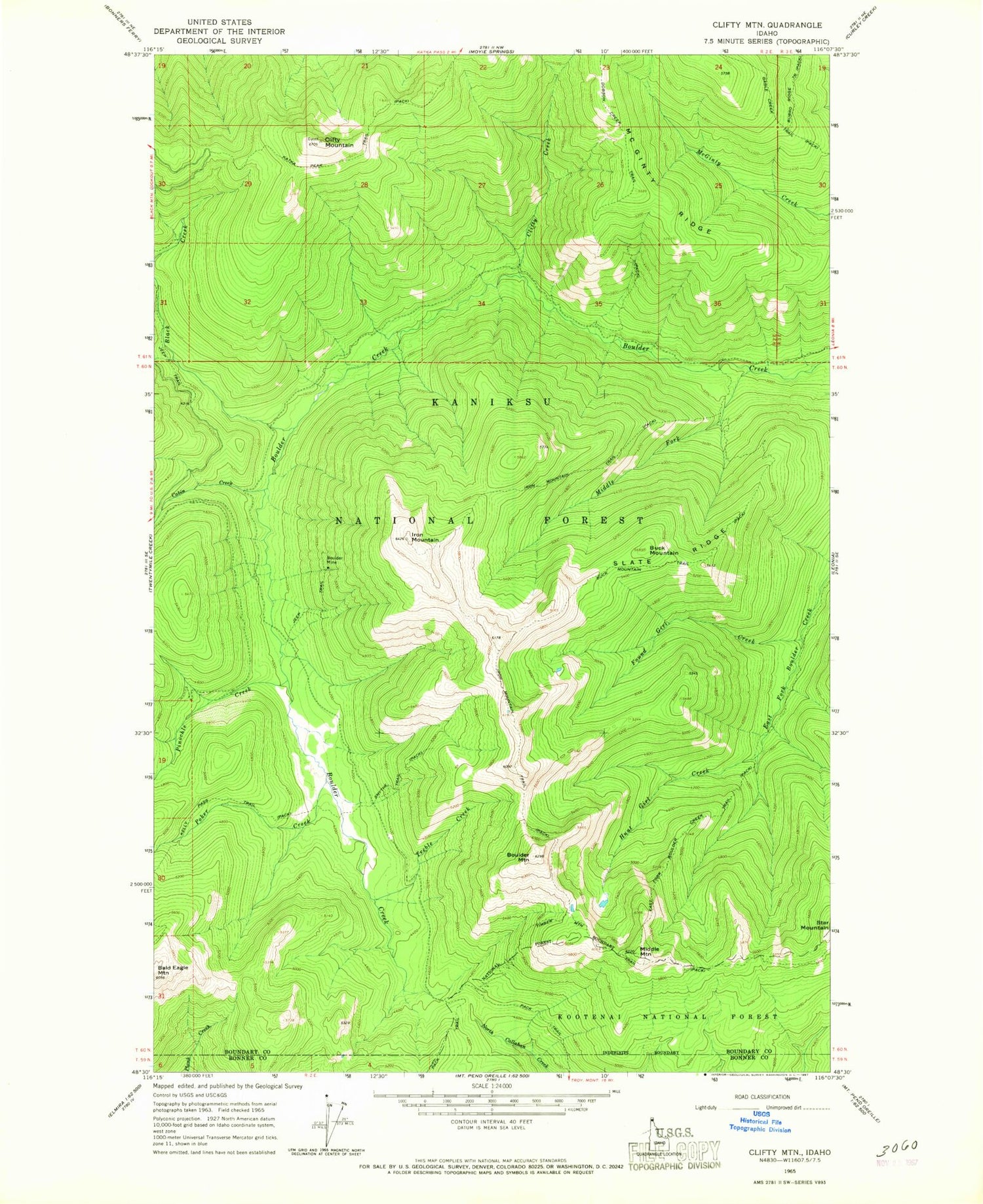
MyTopo
Classic USGS Clifty Mountain Idaho 7.5'x7.5' Topo Map
Couldn't load pickup availability
Historical USGS topographic quad map of Clifty Mountain in the state of Idaho. Map scale may vary for some years, but is generally around 1:24,000. Print size is approximately 24" x 27"
This quadrangle is in the following counties: Bonner, Boundary.
The map contains contour lines, roads, rivers, towns, and lakes. Printed on high-quality waterproof paper with UV fade-resistant inks, and shipped rolled.
Contains the following named places: Black Creek, Boulder Mine, Boulder Mountain, Buck Mountain, Buck Mountain Trail, Cabin Creek, Clifty Creek, Clifty Mountain, Divide Lake, Dobson Creek Trail, East Fork Boulder Creek Trail, Found Girl Creek, Gable Creek Trail, Gin Creek, Hunt Girl Creek, Hunt Girl Creek Research Natural Area, Iron Mountain, Iron Mountain Trail, Katka Peak Trail, Kelly Pass Trail, McGinty Ridge, Middle Fork Boulder Creek, Middle Mountain, Pinochle Creek, Poker Creek, Pouch Creek, Pulp Creek, Rummy Creek, Slate Ridge, Smythe Trail, Treble Creek