MyTopo
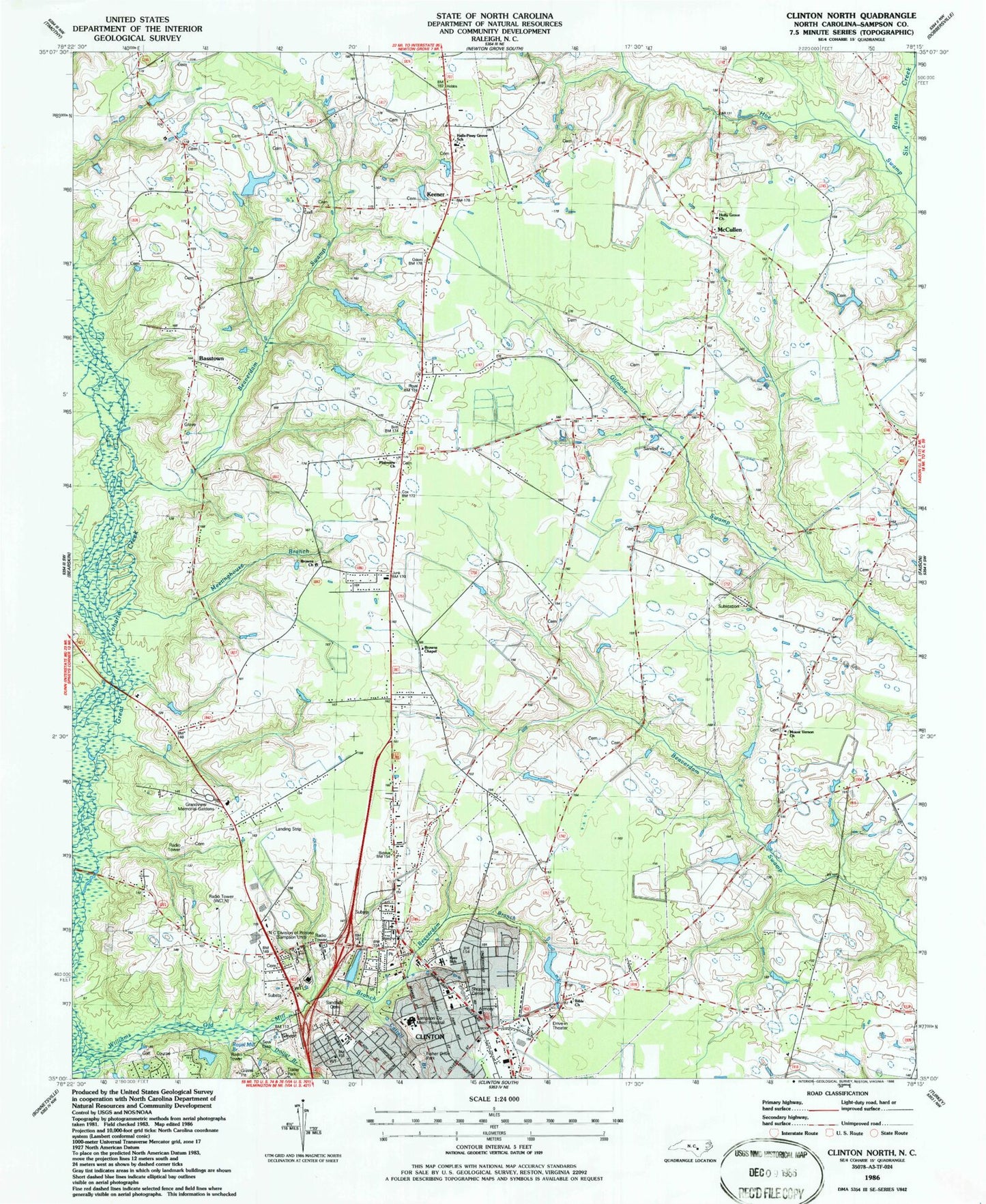
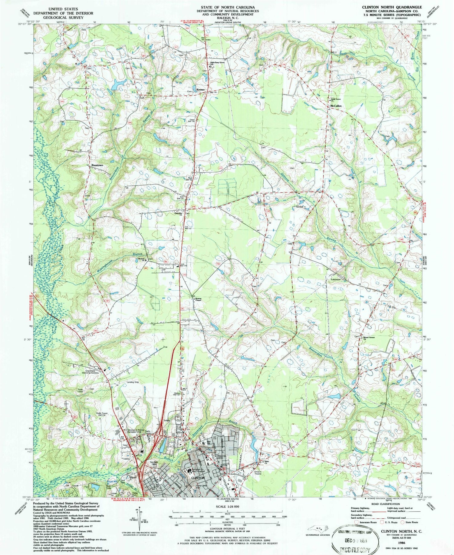
Classic USGS Clinton North North Carolina 7.5'x7.5' Topo Map
Couldn't load pickup availability
Historical USGS topographic quad map of Clinton North in the state of North Carolina. Map scale may vary for some years, but is generally around 1:24,000. Print size is approximately 24" x 27"
This quadrangle is in the following counties: Sampson.
The map contains contour lines, roads, rivers, towns, and lakes. Printed on high-quality waterproof paper with UV fade-resistant inks, and shipped rolled.
Contains the following named places: Basstown, Beaverdam Branch, Beaverdam Swamp, Bible Church, Browns Chapel, Browns Church, Cattail Branch, Church of Christ, City of Clinton, Clinton Plaza, Clinton Police Substation, Crossroad Baptist Church, Dollar Branch, First Baptist Church of Clinton, Fisher Drive Park, Full Gospel Chapel Church, Grace United Methodist Church, Grandview Memorial Gardens, Halls Fire Department, Halls-Piney Grove School, Hoe Swamp, Holly Grove Church, James King Cemetery, Jordan Shopping Center, Keener, Keener Census Designated Place, Kerr School, Kings Branch, Lakewood Plaza Shopping Center, Larkins Wastewater Treatment Plant, Lowers Airport, McCullen, Meetinghouse Branch, Morning Star Holy Church, Mount Vernon Church, New Bridge, North Carolina Division of Prisons, North Carolina State Highway Patrol Troop B District 2, Olivet Institutional Baptist Church, One For All International Christian Church, Pigford School, Plainview Church, Refuges Temple Church of God and Christ, Rivenbark Shopping Center, Rivers of Life Free Will Baptist Church, Royal Mill Branch, Saint Jude United Holiness Church, Saint Peter United Holy Church, Sampson Correctional Institution, Sampson County Emergency Medical Services, Sampson Group Home, Sampson Memorial Hospital Airport, Sampson Regional Medical Center, Sandhills Cemetery, Stevens Bridge, Township of Halls, Township of North Clinton, WCLN-AM (Clinton), Williams Old Mill Branch, ZIP Code: 28328


