MyTopo
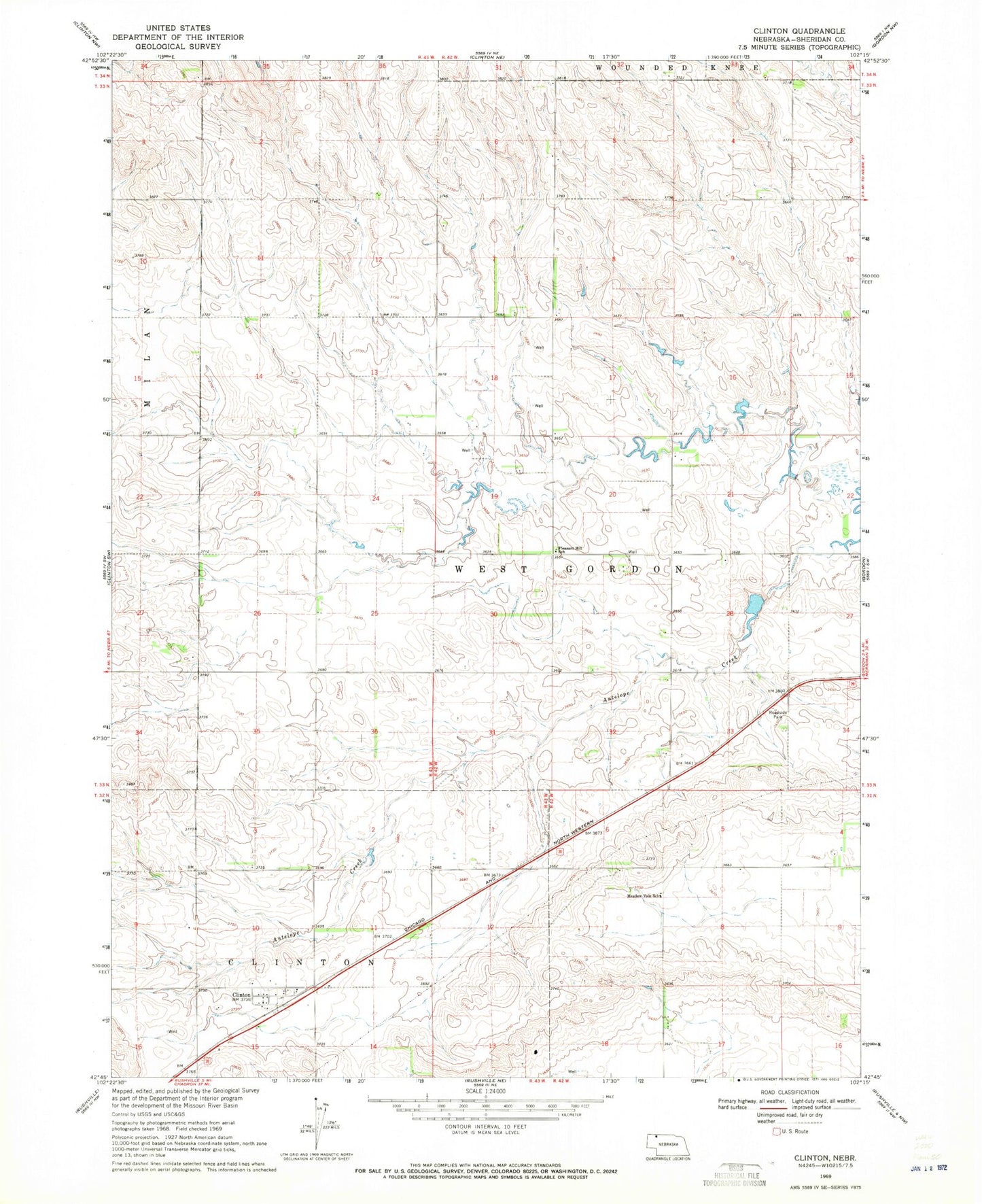
Classic USGS Clinton Nebraska 7.5'x7.5' Topo Map
Couldn't load pickup availability
Historical USGS topographic quad map of Clinton in the state of Nebraska. Map scale may vary for some years, but is generally around 1:24,000. Print size is approximately 24" x 27"
This quadrangle is in the following counties: Sheridan.
The map contains contour lines, roads, rivers, towns, and lakes. Printed on high-quality waterproof paper with UV fade-resistant inks, and shipped rolled.
Contains the following named places: Antelope Creek Dam 60-A, Antelope Creek Reservoir 60-A, Clinton, Clinton Post Office, Clinton Public School, Johnson Dam, Johnson Reservoir, KSDZ-FM (Gordon), Meadow Vale School, New Life Fellowship Church, Pleasant Hill School, Retzlaff Grain Company Incorporated Elevator, Village of Clinton