MyTopo
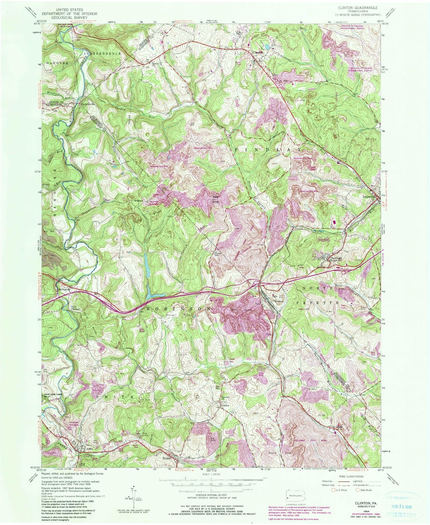
Classic USGS Clinton Pennsylvania 7.5'x7.5' Topo Map
Couldn't load pickup availability
Historical USGS topographic quad map of Clinton in the state of Pennsylvania. Map scale may vary for some years, but is generally around 1:24,000. Print size is approximately 24" x 27"
This quadrangle is in the following counties: Allegheny, Beaver, Washington.
The map contains contour lines, roads, rivers, towns, and lakes. Printed on high-quality waterproof paper with UV fade-resistant inks, and shipped rolled.
Contains the following named places: Bavington, Bigger Run, Brush Run, Bulger, Bulger Census Designated Place, Burgetts Fork, Candor, Chamberlain Run, Champion, Champion Number One Mine Refuse Bank Dam, Clinton, Clinton Census Designated Place, Clinton Post Office, Clinton United Presbyterian Church Cemetery, Cork, Dilloe Run, Fallen Timber Golf Course, Findlay Township Police Department, Frame Field, Hebron Church, Hillman State Park, Hopewell - Hebron Cemetery - East, Imperial Volunteer Fire Department Station 152, Joffre, Joffre Census Designated Place, Joffre Post Office, Little Raccoon Run, Marada Golf Course, McAdams, McDonald Waterworks, Murdocksville, New Dam, North Fork Montour Run, Old Dam, Pittsburgh International Airport, Point Pleasant, Potato Garden Run, Raccoon Church, Risker Field, Robinson, Saint Columbkille Cemetery, Saint Patrick Run, Santiago, Sedimentation Pond Number Three, Shaw Mine, Sludge Pond One, South Fork Montour Run, State Game Lands Number 117, Township of Findlay, Township of Robinson, Tyre Post Office, Virsoix, Wingfield Run, ZIP Codes: 15019, 15053, 15126


