
MyTopo
Classic USGS Clio Alabama 7.5'x7.5' Topo Map
Couldn't load pickup availability
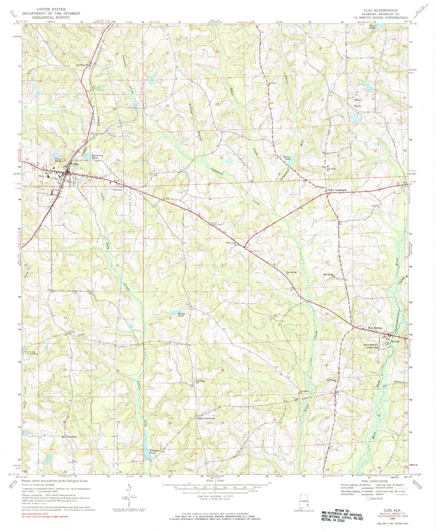
Historical USGS topographic quad map of Clio in the state of Alabama. Map scale may vary for some years, but is generally around 1:24,000. Print size is approximately 24" x 27"
This quadrangle is in the following counties: Barbour.
The map contains contour lines, roads, rivers, towns, and lakes. Printed on high-quality waterproof paper with UV fade-resistant inks, and shipped rolled.
Contains the following named places: Akinsville, Antioch Church, Baxter School, Beaver Pond, Big Branch, Blue Springs, Blue Springs Church, Blue Springs State Park, Blue Springs Volunteer Fire Department, Brocks Mill, Calvary Church, Campbell Creek, Campbell Gin, Cannon Store, Carpenter Mill Creek, Chaney Branch, City of Clio, Clio, Clio Baptist Church, Clio Division, Clio Emergency Rescue Squad, Clio High School, Clio Methodist Church, Clio Post Office, Clio Volunteer Fire Department, Easterling Correctional Facility, Easterling Pond, Easterlings Fish Hatchery, Easterlings Store, Gilfords Store, Glad Tidings Assembly of God Church, Ham Ponds, Helms Bridge, Helms Store, Jerusalem Church, Kellys Pond, Ketcham School, Little Judy Creek, New Hope Church, Pea River Cemetery, Pea River Presbyterian Church, Phillips Store, Pimple Hill School, Pine Hope Church, Pine Level Baptist Church, Prices Ponds, Saint Peter African Methodist Episcopal Church, Saint Peter Cemetery, Swanners Gin, Sykes Creek Baptist Church, Sykes Creek Cemetery, Teals Crossroads, Tews Ponds, Tillman Lake Dam, Tillmans Pond, Town of Blue Springs, Tyler Crossroads, Wildcat Branch, ZIP Code: 36017


