
MyTopo
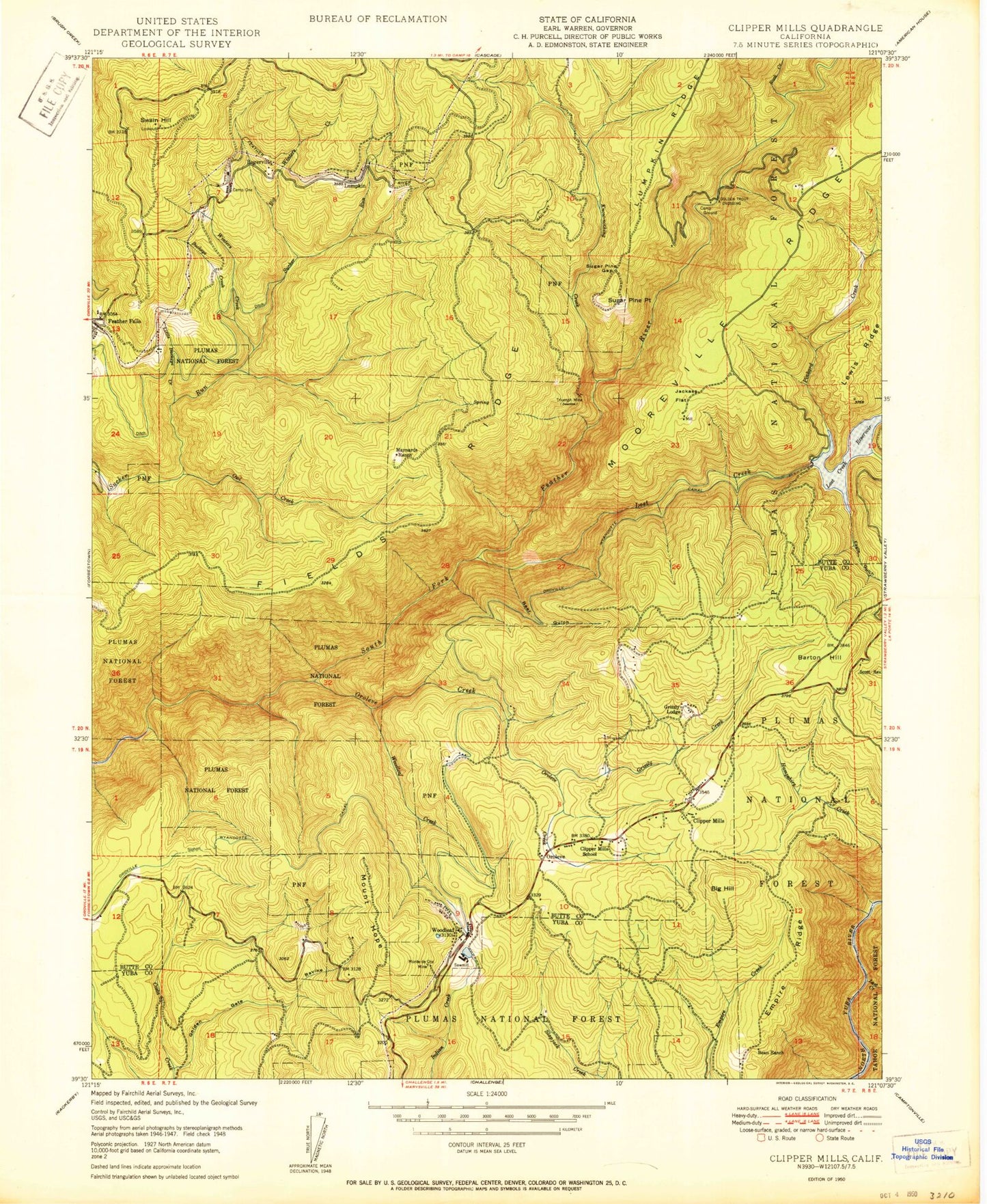
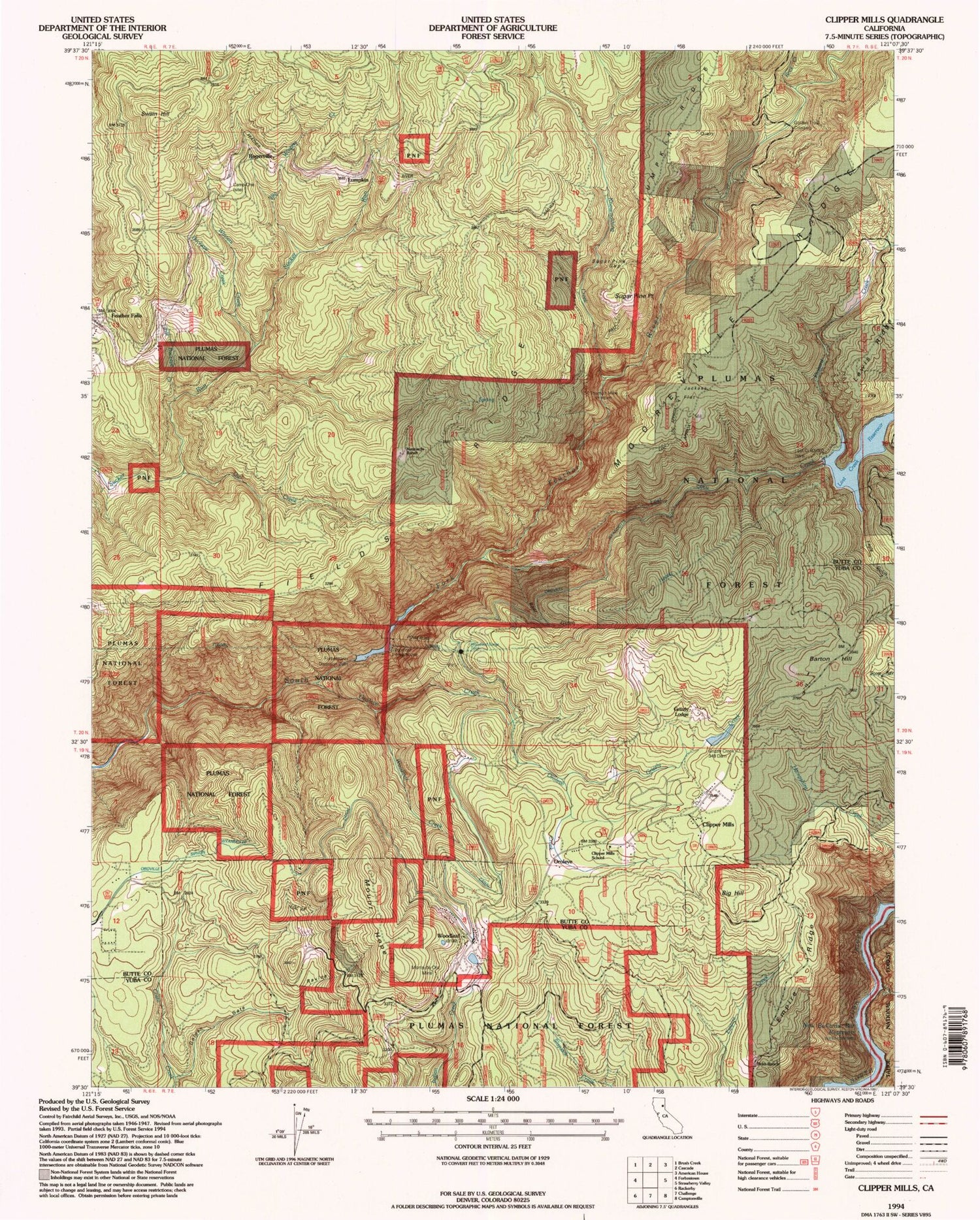
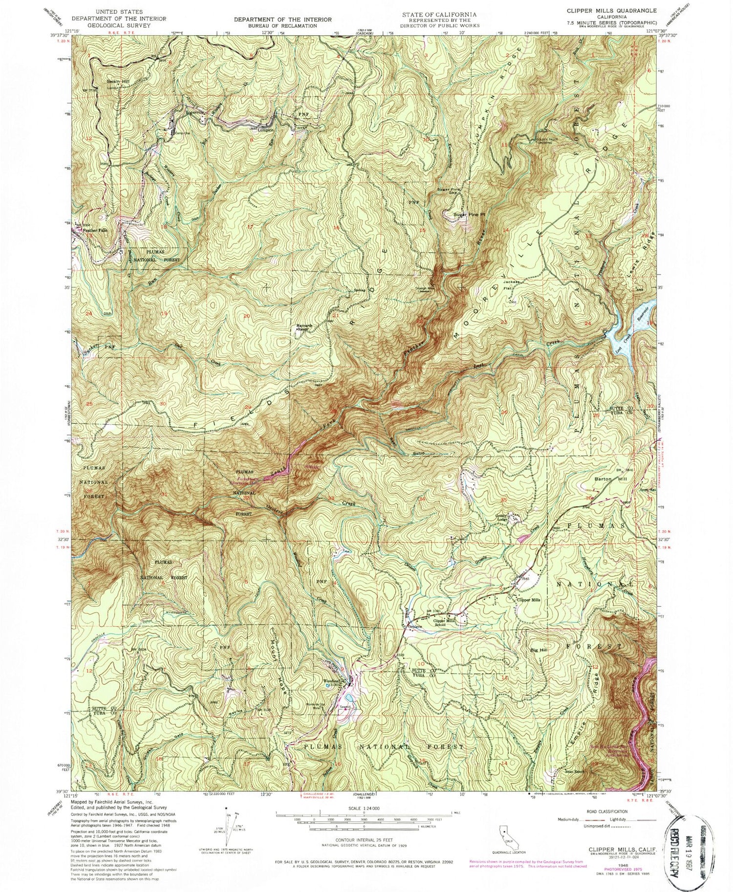
Classic USGS Clipper Mills California 7.5'x7.5' Topo Map
Couldn't load pickup availability
Historical USGS topographic quad map of Clipper Mills in the state of California. Map scale may vary for some years, but is generally around 1:24,000. Print size is approximately 24" x 27"
This quadrangle is in the following counties: Butte, Yuba.
The map contains contour lines, roads, rivers, towns, and lakes. Printed on high-quality waterproof paper with UV fade-resistant inks, and shipped rolled.
Contains the following named places: Barton Hill, Bean Ranch, Bear Gulch, Big Hill, Big Winters Creek, Buckeye Creek, Butte County Fire Department Station 53, California Department of Forestry and Fire Protection Station 51 Feather Falls, Camp One, Clipper Mills, Clipper Mills Census Designated Place, Clipper Mills Post Office, Clipper Mills School, Eagle Gulch, Empire Ridge, Fields Ridge, Forbestown Diversion 63-007 Dam, Forbestown Diversion Dam, Golden Gate Ravine, Golden Trout Crossing, Grizzly Creek, Grizzly Creek 349 Dam, Grizzly Lodge, Jackass Flat, Know-nothing Creek, Lasslys, Little Buckeye Creek, Lost Creek, Lost Creek 63-002 Dam, Lost Creek Reservoir, Lumpkin, Maynards Ranch, Monte de Oro Mine, Mount Hope, Mount Hope House, Oroleve, Oroleve Creek, Owl Creek, Pinkard Creek, Rogerville, Strawberry Valley Creek, Sugar Pine Gap, Sugar Pine Point, Swain Hill, Triumph Mine, Winters Creek, Woodleaf, Woodleaf Creek, ZIP Code: 95930