MyTopo
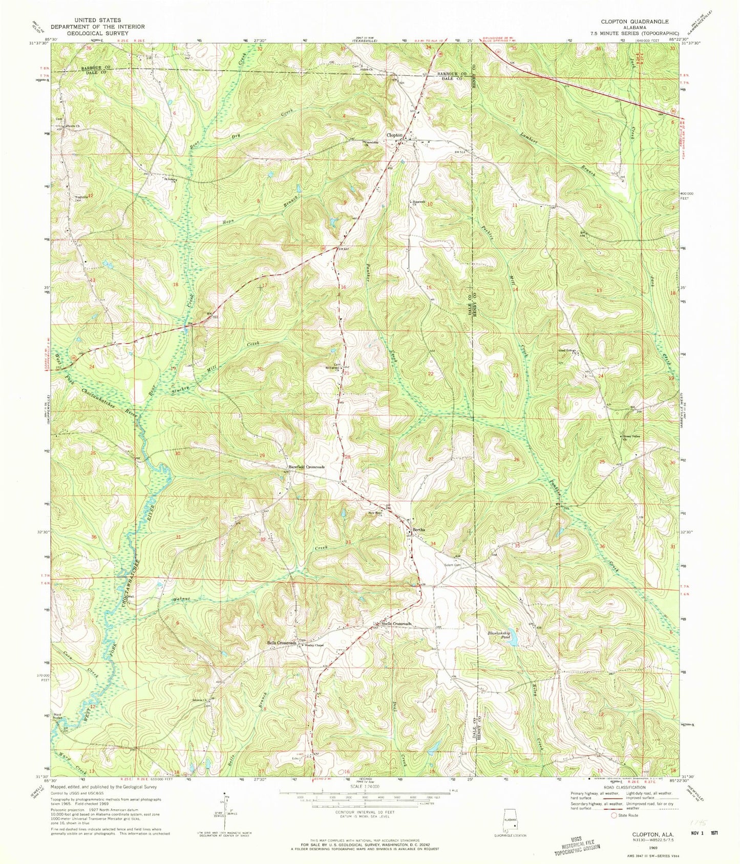
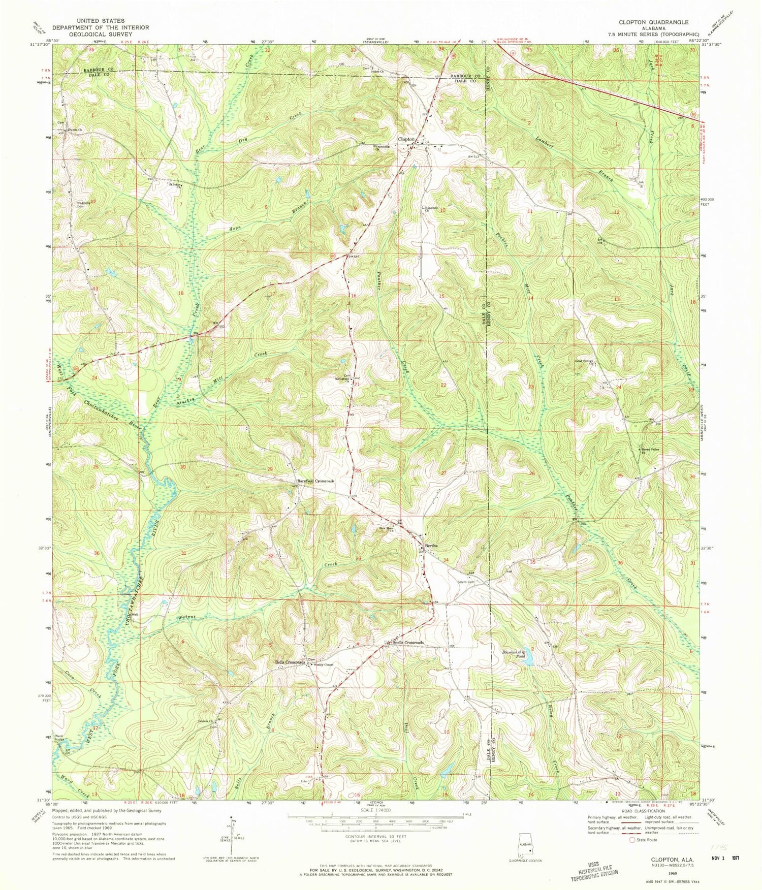
Classic USGS Clopton Alabama 7.5'x7.5' Topo Map
Couldn't load pickup availability
Historical USGS topographic quad map of Clopton in the state of Alabama. Map scale may vary for some years, but is generally around 1:24,000. Print size is approximately 24" x 27"
This quadrangle is in the following counties: Barbour, Dale, Henry.
The map contains contour lines, roads, rivers, towns, and lakes. Printed on high-quality waterproof paper with UV fade-resistant inks, and shipped rolled.
Contains the following named places: Barefield Crossroads, Bear Creek, Bells Crossroads, Bells School, Bersheba School, Bertha, Blankenship Pond, Browns United Methodist Church, Clopton, Clopton Cemetery, Clopton Post Office, Clopton United Methodist Church, Corn Creek, Dry Creek, Dykes Cemetery, Friendship Baptist Church, G B Blankenship Dam, Good Tidings Church, Green Valley Church, Hopewell Church, Hopn Branch, Lambert Branch, Lewis Mill, Magnolia Cemetery, Magnolia Church, Magnolia School, Monks Mill Bridge, Mount Carmel Cemetery, Mount Carmel Church, New Hope Baptist Church, New Hope Cemetery, New Hope School, Peebles Mill Creek, Peniel Baptist Church, Peniel Cemetery, Saint Jeans Church, Salem Cemetery, Shiloh Church, Snells Crossroads, Stuckey Mill Creek, Walnut Creek, Ward Bridge, Ward Creek, Wesley Chapel United Methodist Church, Wilkerson Cemetery, ZIP Code: 36374