MyTopo
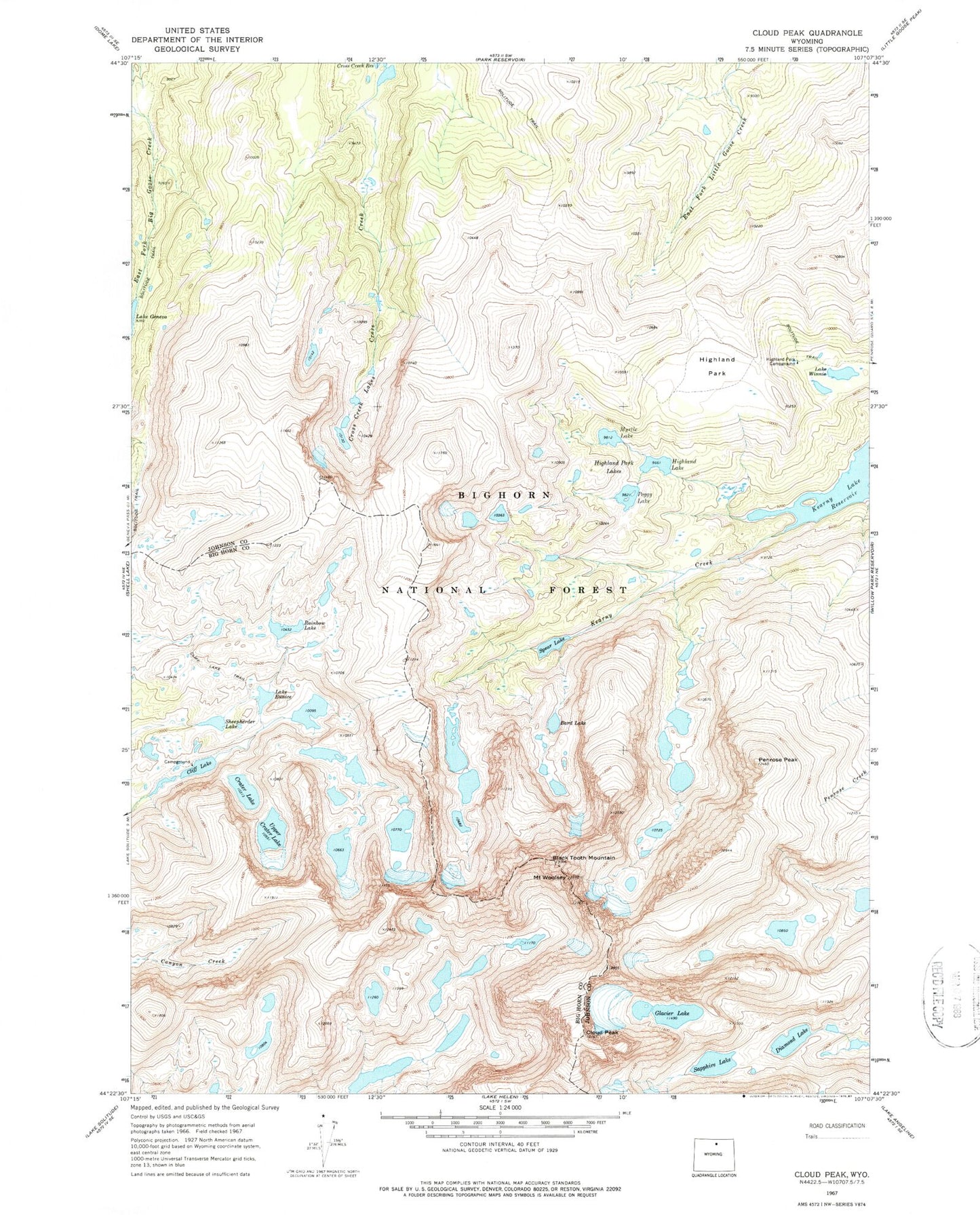
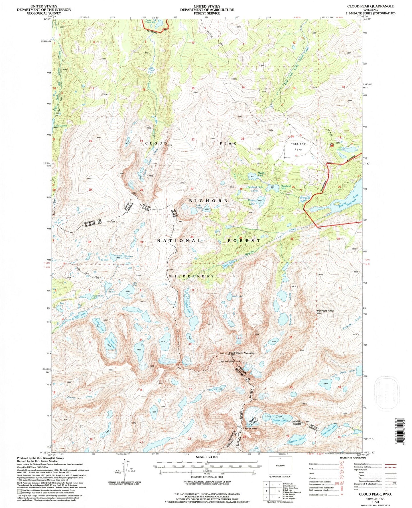
USGS Classic Cloud Peak Wyoming 7.5'x7.5' Topo Map
Couldn't load pickup availability
Historical USGS topographic quad map of Cloud Peak in the state of Wyoming. Scale: 1:24000. Print size: 24" x 27"
This quadrangle is in the following counties: Big Horn, Johnson.
The map contains contour lines, roads, rivers, towns, lakes, and grids including latitude / longitude and UTM / MGRS. Printed on high-quality waterproof paper with UV fade-resistant inks.
Contains the following named places: Bard Lake, Black Tooth Mountain, Cliff Lake, Cloud Peak, Crater Lake, Cross Creek Lakes, Diamond Lake, Lake Eunice, Glacier Lake, Highland Lake, Highland Park, Highland Park Campground, Highland Park Lakes, Myrtle Lake, Peggy Lake, Penrose Peak, Rainbow Lake, Sapphire Lake, Sheepherder Lake, Spear Lake, Upper Crater Lake, Lake Winnie, Mount Woolsey, Loomis Lake, Cliff Lake Trail, Kearny Lake Reservoir, Sawtooth Lakes, Lake Elsa, South Piney Lakes, Cloud Peak Wilderness, Kearney Lake