MyTopo
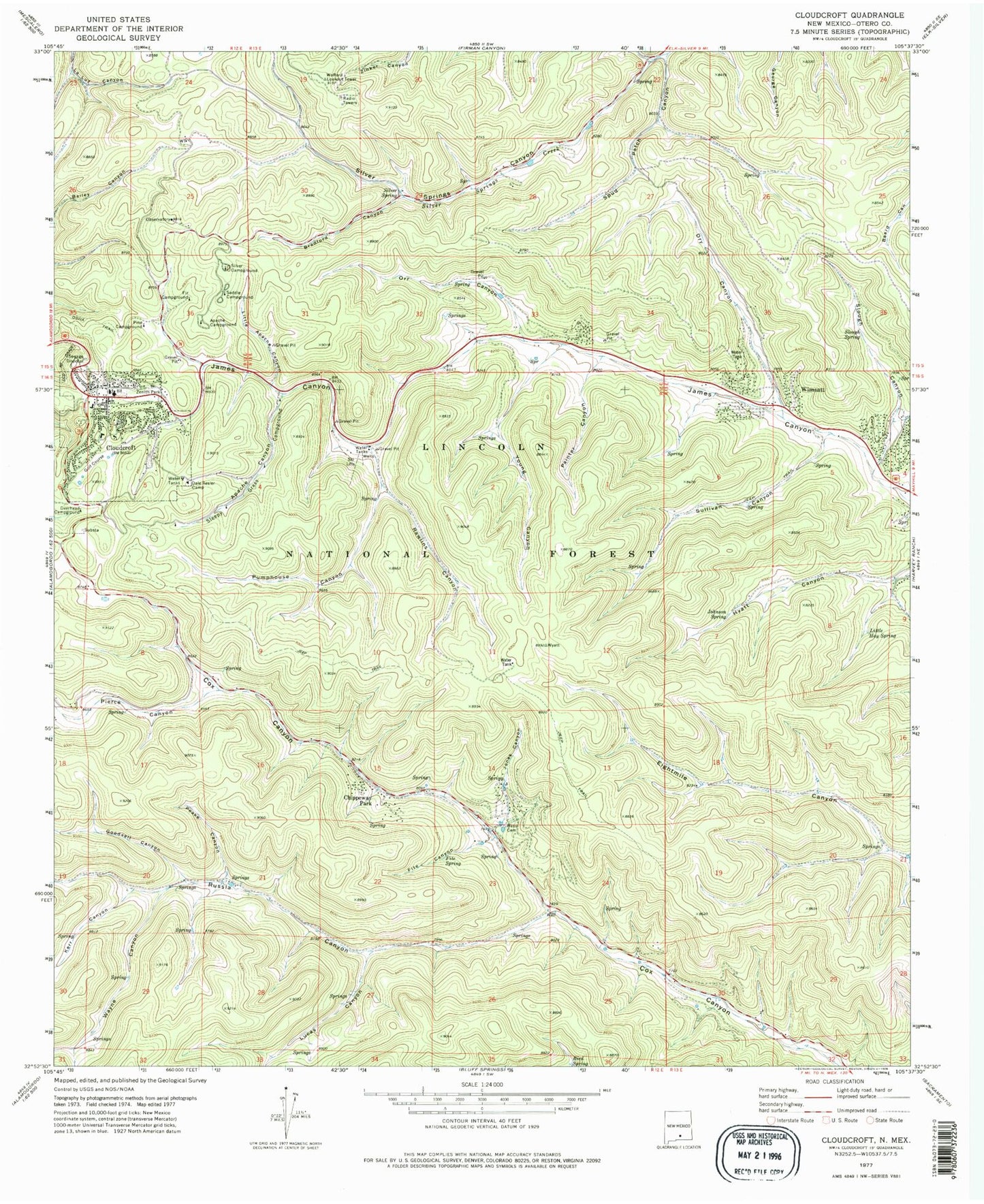
Classic USGS Cloudcroft New Mexico 7.5'x7.5' Topo Map
Couldn't load pickup availability
Historical USGS topographic quad map of Cloudcroft in the state of New Mexico. Typical map scale is 1:24,000, but may vary for certain years, if available. Print size: 24" x 27"
This quadrangle is in the following counties: Otero.
The map contains contour lines, roads, rivers, towns, and lakes. Printed on high-quality waterproof paper with UV fade-resistant inks, and shipped rolled.
Contains the following named places: Pine Campground, Wayne Canyon, Kerr Canyon, Apache Campground, Apache Canyon, Bass Cemetery, Bradford Canyon, Chippeway Park, Cloudcroft, Dale Resler Camp, Deerhead Campground, Dry Canyon, Fir Campground, Fite Canyon, Fite Spring, Goodsell Canyon, Johnson Spring, Jones Canyon, Little Apache Canyon, Little Hay Spring, Lucas Canyon, Orr Canyon, Painter Canyon, Peake Canyon, Pierce Canyon, Pumphouse Canyon, Rawlins Canyon, Russia Canyon, Saddle Campground, Silver Campground, Silver Spring, Sleepy Grass Campground, Slough Canyon, Slough Spring, Spud Patch Canyon, Sullivan Canyon, Turkey Pen Canyon, Wimsatt, Young Canyon, Zenith Park, Grainery Tank, Wofford Electronic Site, Potato Tank, Forks Tank, Silver Snowplay Area, Cloudcroft C335, First Baptist Church, Church of Christ, Cloudcroft Christian Center, Wofford Lookout Tower, Sacramento Mountains Historical Society Museum, Short Ski Trail, Little Lift Ski Trail, Pancho Villa Ski Trail, Silver Spoon Ski Trail, Rebeccas Revenge Ski Trail, The Couplings Ski Trail, Cross Tie Ski Trail, Coyote Ski Trail, Red Dog Ski Trail, The Springs Ski Trail, Narrow Gauge Ski Trail, Trestle Ski Trail, Snow Canyon Ski Trail, Lumber Jack Ski Trail, Roadrunner Ski Trail, Thumper Ski Trail, Cascade Ski Trail, Quick Silver Ski Trail, Whistle Ski Trail, Penny Whistle Ski Trail, El Oso Ski Trail, Franks Plunge Ski Trail, Cloud Nine Ski Trail, Pumphouse Ski Trail, The Cloud Climber Ski Trail, Cloud Climbing Railroad Historical Marker, Cloudcroft Weather Station, Cloudcroft Lodge Historic Site, Cloudcroft Elementary School, Cloudcroft Middle School, Cloudcroft High School, Mexican Canyon Railroad Trestle Historic Site, Cloudcroft Municipal School, Springville, Ski Clouderoft Ski Area, Cloudcroft Post Office, Bird Spring, Aspen Campground, Black Bear Campground, Cloudcroft Recreation Area, Village of Cloudcroft, Twin Forks Census Designated Place, Cloudcroft Intermediate Life Support, Cloudcroft Volunteer Fire Department Station 1, James Canyon Volunteer Fire Department Station 1 Headquarters, Upper Cox Canyon Volunteer Fire Department, Cloudcroft Volunteer Fire Department Station 2, Cloudcroft Police Department, Baird Cemetery


