
MyTopo
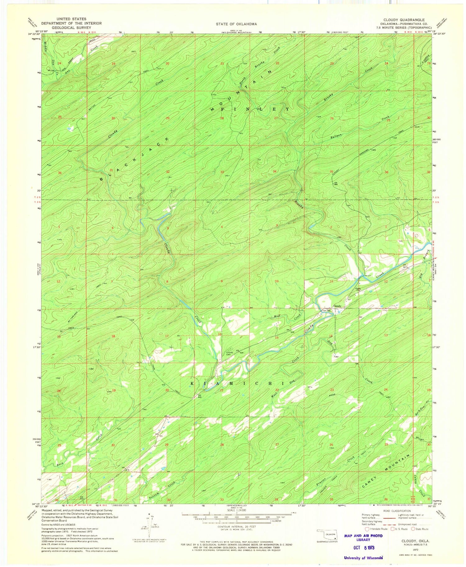
Classic USGS Cloudy Oklahoma 7.5'x7.5' Topo Map
Couldn't load pickup availability
Historical USGS topographic quad map of Cloudy in the state of Oklahoma. Map scale may vary for some years, but is generally around 1:24,000. Print size is approximately 24" x 27"
This quadrangle is in the following counties: Pushmataha.
The map contains contour lines, roads, rivers, towns, and lakes. Printed on high-quality waterproof paper with UV fade-resistant inks, and shipped rolled.
Contains the following named places: Brushy Creek, Bullpen Creek, Cloudy, Cloudy Cemetery, Cloudy Church, Cloudy Volunteer Fire Department, Dog Creek, Finley-Rattan Division, Fourche Maline Creek Site 6 Dam, Fourche Maline Creek Site 6 Reservoir, McFarland Trail, Middle One Creek, Mill Creek, North Brushy Creek, North One Creek, Township of Kiamichi, Tram Trail, Webb Trail, West Dog Creek, ZIP Code: 74562


