MyTopo
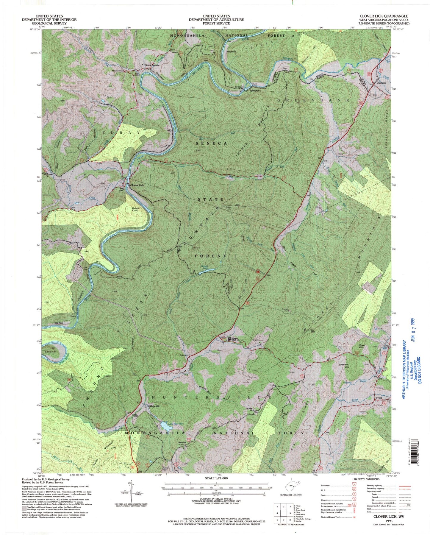
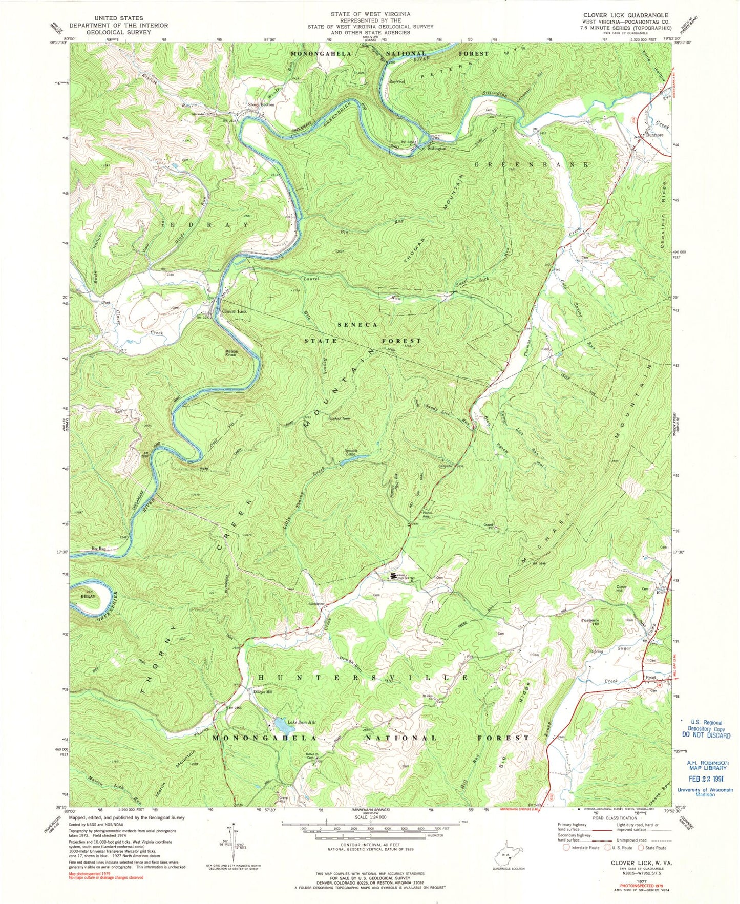
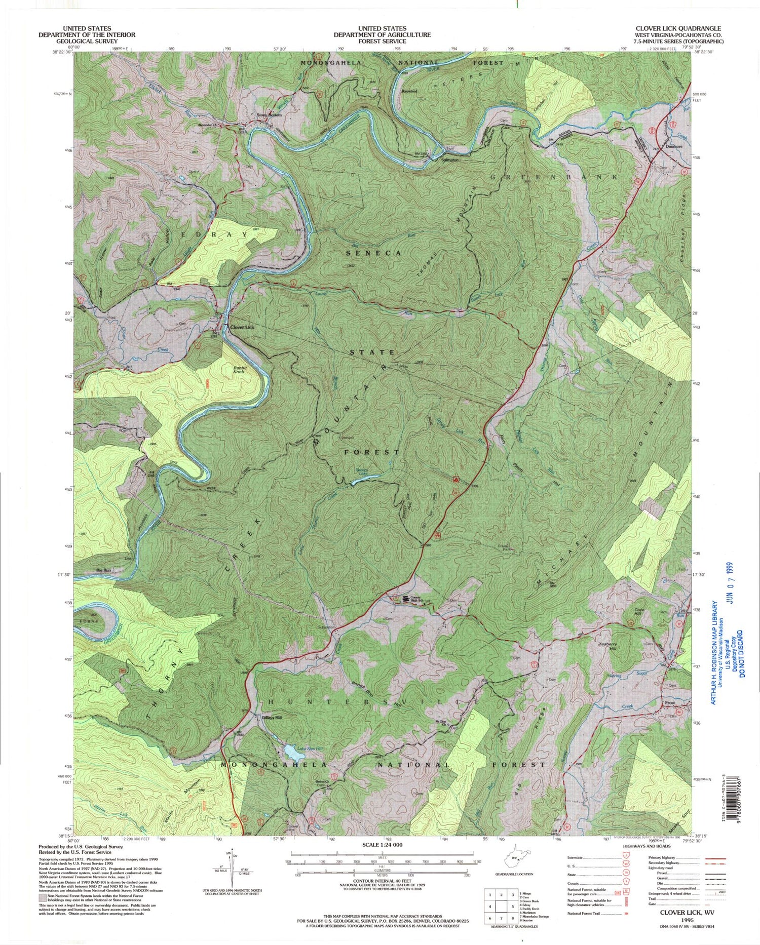
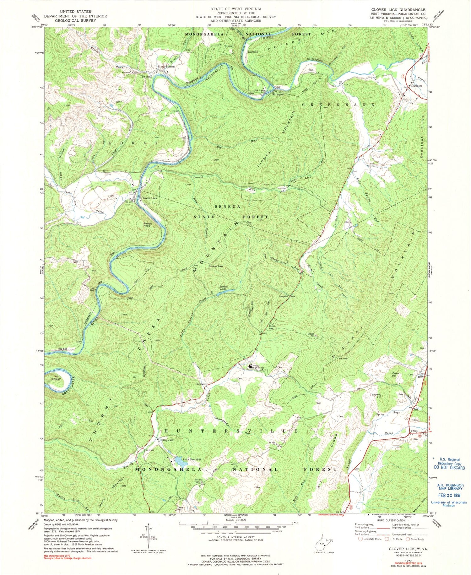
Classic USGS Clover Lick West Virginia 7.5'x7.5' Topo Map
Couldn't load pickup availability
Historical USGS topographic quad map of Clover Lick in the states of West Virginia, Virginia. Typical map scale is 1:24,000, but may vary for certain years, if available. Print size: 24" x 27"
This quadrangle is in the following counties: Pocahontas.
The map contains contour lines, roads, rivers, towns, and lakes. Printed on high-quality waterproof paper with UV fade-resistant inks, and shipped rolled.
Contains the following named places: Alexander Memorial Presbyterian Church, Bethel Church Cemetery, Big Ridge, Big Run, Big Run, Booga-Boo Hollow, Campbell Hollow, Clover Creek, Clover Lick, Cold Spring Run, County High School (historical), Dunmore, Elklick Run, Glade Run, Hill Top Trail, Kline Hollow, Kronimiller Trail, Lake Sam Hill, Laurel Run, Little Thorny Creek, Michael Mountain, Mile Branch, Moore Run, Moses Spring Run, Mount Zion Church, Pole Hollow, Powder Lick Run, Rich Patch Hollow, Sandy Lick Run, Scale Hollow, Scarlet Oak Trail, Seneca Lake, Seneca State Forest, Sitlington Creek, Sugar Camp Run, Sweet Lick Run, Thomas Creek, Thorny Creek Mountain, Woods Run, Seven Mile Campground, Thorny Mountain Fire Lookout Tower, Cove Hill, Dilleys Mill, Frost, Rabbit Knob, Raywood, Sitlington, Stony Bottom, Teaberry Hill, Thomas Mountain, Gibson Spring, Dillys Mill Boy Scout Camp Lake Dam, WVMR-AM (Frost), Baxter Presbyterian Church, Bethel School (historical), Clover Lick School (historical), Cove Hill School (historical), Dunmore Grade School (historical), Dunmore Post Office, Dunmore United Methodist Church, Frost School (historical), Frost United Methodist Church, McLaughlin School (historical), Mount Zion School (historical), Pocahontas County High School, Raywood School (historical), Stony Bottom School (historical), Thorney Creek School (historical), Thorny Mountain Lookout Tower, Buckskin Reservation Boy Scout Camp, Rimel Wildlife Management Area, Frost Volunteer Fire Department, Company 1 Effinger Department


