MyTopo
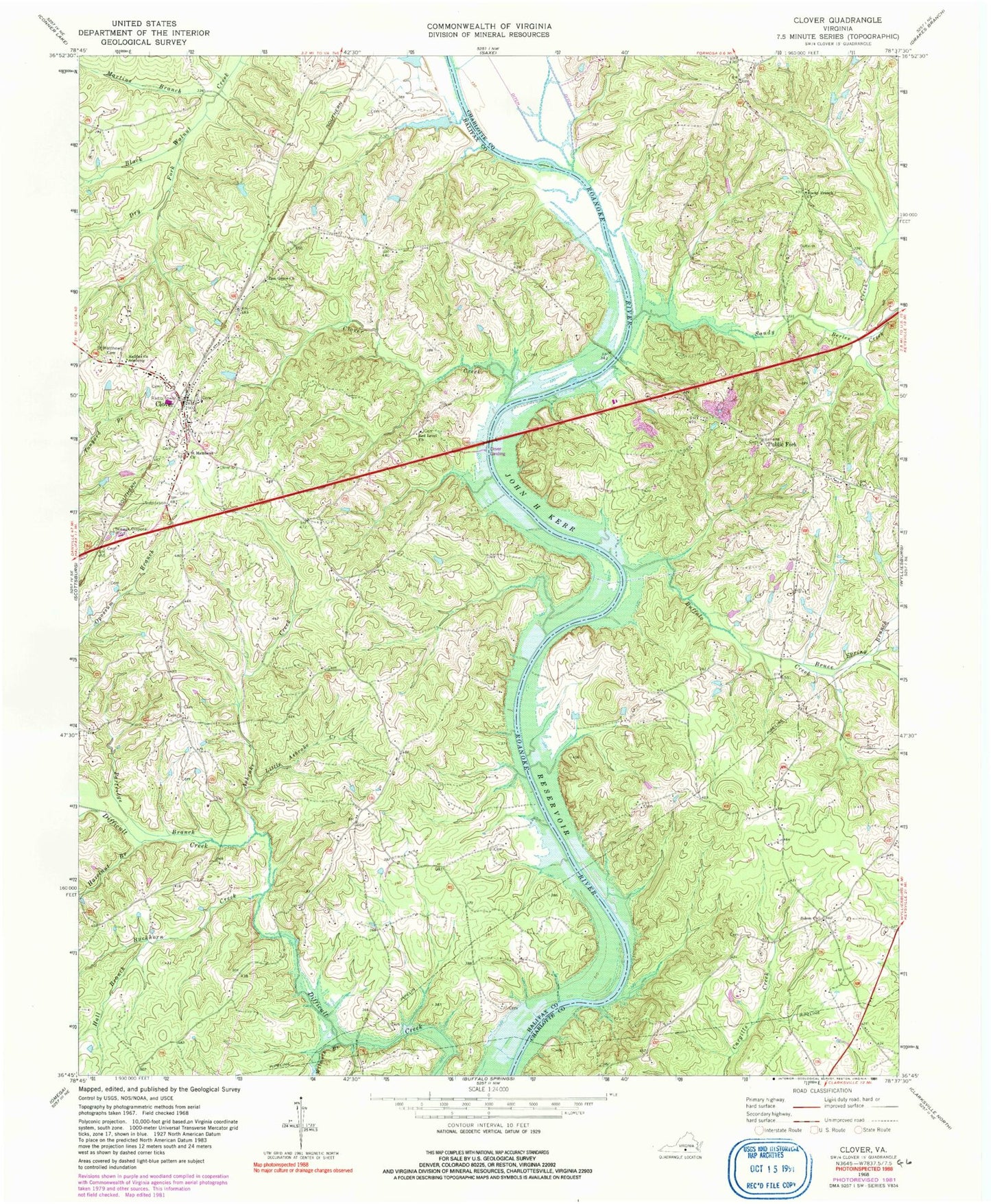
Classic USGS Clover Virginia 7.5'x7.5' Topo Map
Couldn't load pickup availability
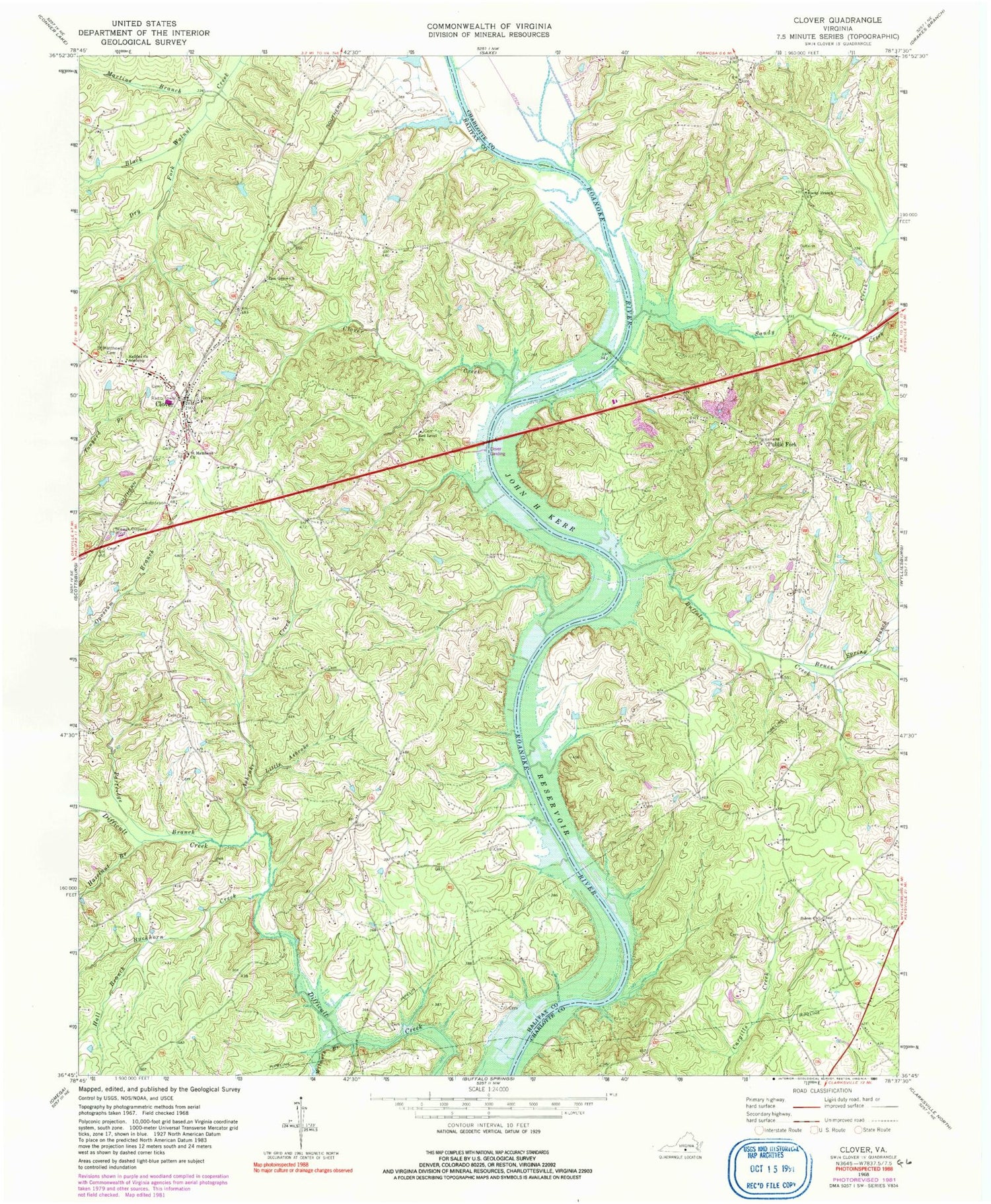
Historical USGS topographic quad map of Clover in the state of Virginia. Map scale may vary for some years, but is generally around 1:24,000. Print size is approximately 24" x 27"
This quadrangle is in the following counties: Charlotte, Halifax.
The map contains contour lines, roads, rivers, towns, and lakes. Printed on high-quality waterproof paper with UV fade-resistant inks, and shipped rolled.
Contains the following named places: Ashcake Creek, Berles Creek, Blackcastle School, Blanks Ferry, Bruce Spring Branch, Buckhorn Creek, Buffalo Creek, Burlington Industries Dam, Clover, Clover Census Designated Place, Clover Creek, Clover Elementary School, Clover Landing, Clover Post Office, Clover Project Landing Zone Heliport, Clover Volunteer Fire Department, Dry Fork, Dunn Creek, Halifax County Academy, Hall Branch, Hazelnut Branch, Little Ashcake Creek, Martins Branch, Moseleys Ferry, Partridge Branch, Public Fork, Red Level Church, Rocky Branch Church, Saint Matthews Cemetery, Saint Matthews Church, Salem Church, Salem School, Sandy Creek, Staunton River School, Wilmoth Branch, Zion Grove Church, ZIP Code: 23964


