MyTopo
Classic USGS Cloverdale Michigan 7.5'x7.5' Topo Map
Couldn't load pickup availability
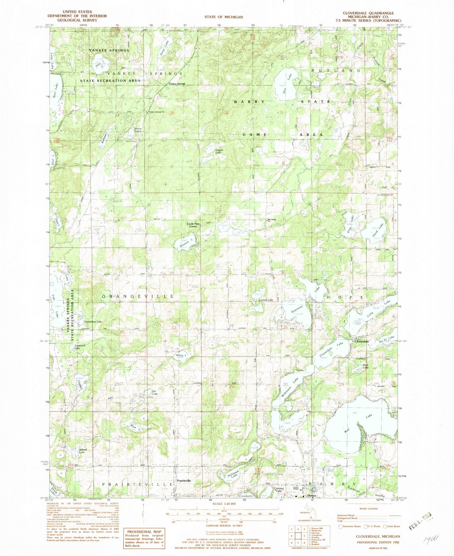
Historical USGS topographic quad map of Cloverdale in the state of Michigan. Typical map scale is 1:24,000, but may vary for certain years, if available. Print size: 24" x 27"
This quadrangle is in the following counties: Barry.
The map contains contour lines, roads, rivers, towns, and lakes. Printed on high-quality waterproof paper with UV fade-resistant inks, and shipped rolled.
Contains the following named places: Adams Lake, Barry State Game Area, Blue Lake, Brush Ridge Cemetery, Brush Ridge School, Bullhead Lake, Circle Pine Center, Cloverdale Lake, Dagget Lake, Deep Lake, Fish Lake, Guernsey Lake, Hall Lake, Head Lake, Holcomb Lake, Horseshoe Lake, Jesuit Cemetery, Lime Lake, Long Lake, Loomis Lake, McCallum Church, Number Twenty-one Lake, Otis Lake, Pine Lake, Prairieville, Snow Lake, Stewart Lake, Tamarack Lake, Wall Lake, Wiley Lake, Wilkinson Lake, Yankee Springs Church, Yankee Springs Recreation Area, WUHQ-TV (Battle Creek), WLLA-TV (Kalamazoo), Township of Orangeville, Cloverdale, Mud Lake, Orr Lake, Crystal Lake, Fawn Lake, Yankee Springs, Yankee Springs Inn Historical Marker, McCallum Cemetery, Prairieville Township Cemetery, Yankee Springs Cemetery, Yankee Spring Post Office (historical), Prairieville Post Office (historical), Otis Sanctuary, Delton-Kellogg High School, Delton-Kellogg Middle School, Jones Lake, Delton Post Office, Inter Lakes Baptist Church, Faith United Methodist Church, Delton District Library, Bernard Historical Museum, Jones Lake Campground, Guernsey Lake Mobile Home Court, Mullenhurst Golf Course, Prairieville Bible Church, Cloverdale Station (historical), Cloverdale Post Office, Delton Fire Department, Cave Creek, Mercy Ambulance Service Delton, Prairieville Township Police Department, Tyden Creek


