MyTopo
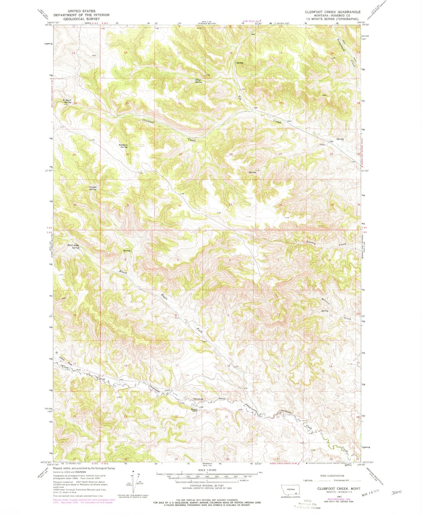
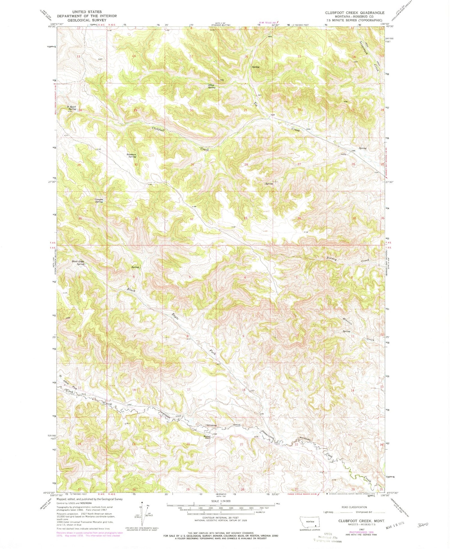
Classic USGS Clubfoot Creek Montana 7.5'x7.5' Topo Map
Couldn't load pickup availability
Historical USGS topographic quad map of Clubfoot Creek in the state of Montana. Map scale may vary for some years, but is generally around 1:24,000. Print size is approximately 24" x 27"
This quadrangle is in the following counties: Rosebud.
The map contains contour lines, roads, rivers, towns, and lakes. Printed on high-quality waterproof paper with UV fade-resistant inks, and shipped rolled.
Contains the following named places: 04S42E26BDA_01 Well, 05S41E01ABCA01 Spring, 05S41E13BCDA01 Well, 05S42E02AADD01 Well, 05S42E14ADDC01 Well, 05S42E16DDBD01 Well, 05S42E17CDCC01 Well, 05S42E18DCDB01 Well, 05S42E19BABD01 Well, 05S42E20ADAC01 Well, 05S42E20ADDB01 Well, 05S42E21ABDC01 Spring, 05S42E21DBAB01 Spring, 05S42E22BCBD01 Well, 05S42E22DBBC01 Well, B Heart Spring, Birney District, Black Eagle Fork, Black Eagle Spring, Canyon Spring, Cheyenne Number 4 Dam, Clubfoot Creek, Elliot Spring, Morland Ranch, Rondeau Spring, Saint Johns Fork


