MyTopo
Classic USGS Cluster Buttes NW Montana 7.5'x7.5' Topo Map
Regular price
$16.95
Regular price
Sale price
$16.95
Unit price
per
Couldn't load pickup availability
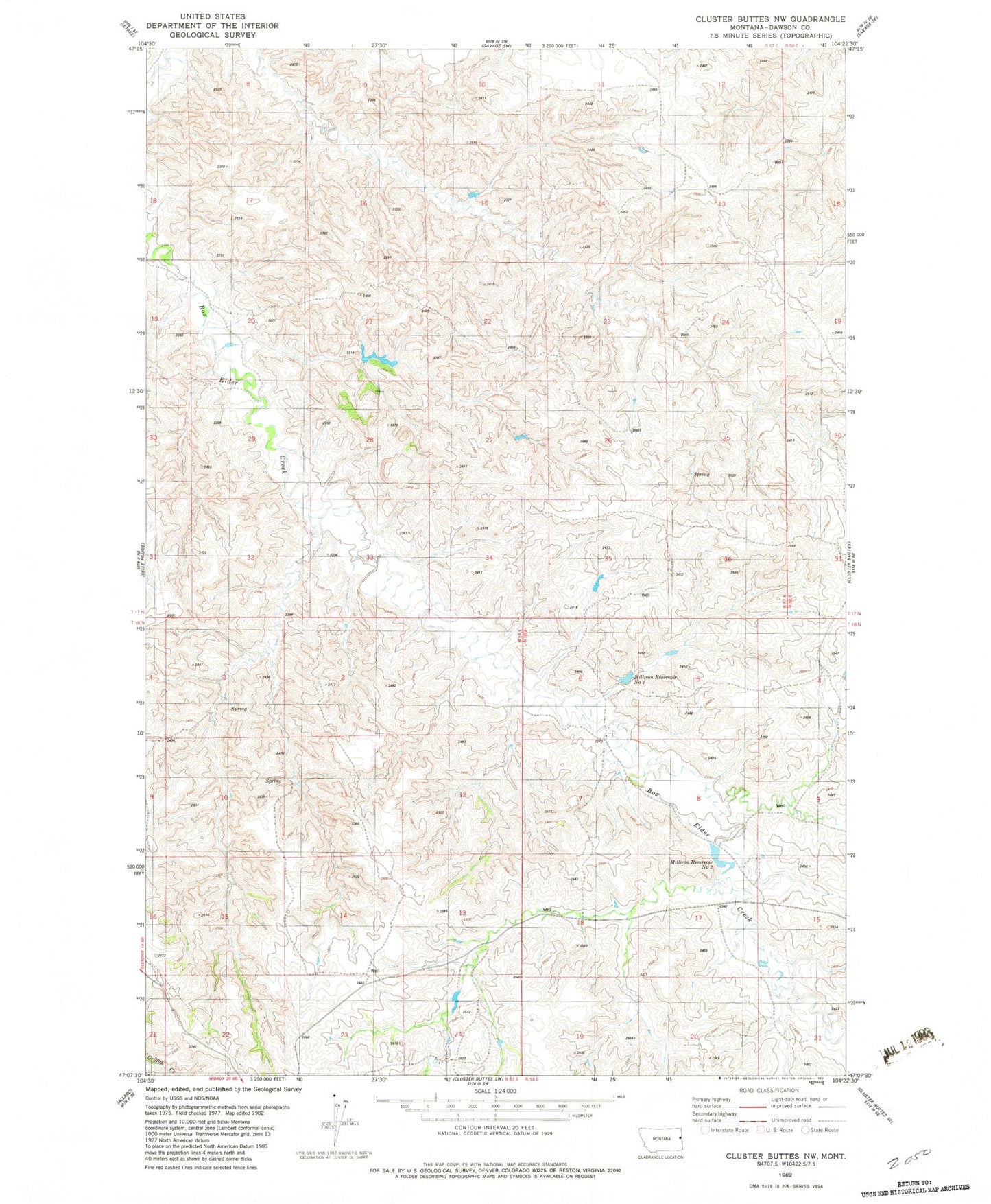
Historical USGS topographic quad map of Cluster Buttes NW in the state of Montana. Map scale may vary for some years, but is generally around 1:24,000. Print size is approximately 24" x 27"
This quadrangle is in the following counties: Dawson.
The map contains contour lines, roads, rivers, towns, and lakes. Printed on high-quality waterproof paper with UV fade-resistant inks, and shipped rolled.
Contains the following named places: 16N57E27AAC_01 Well, 16N58E18BD__01 Well, 17N58E19CAA_01 Well, Box Elder Number 2 Dam, Mill Iron Dam, Milliron Reservoir Number 1, Milliron Reservoir Number 2