MyTopo
Classic USGS Cluster Buttes SE Montana 7.5'x7.5' Topo Map
Regular price
$16.95
Regular price
Sale price
$16.95
Unit price
per
Couldn't load pickup availability
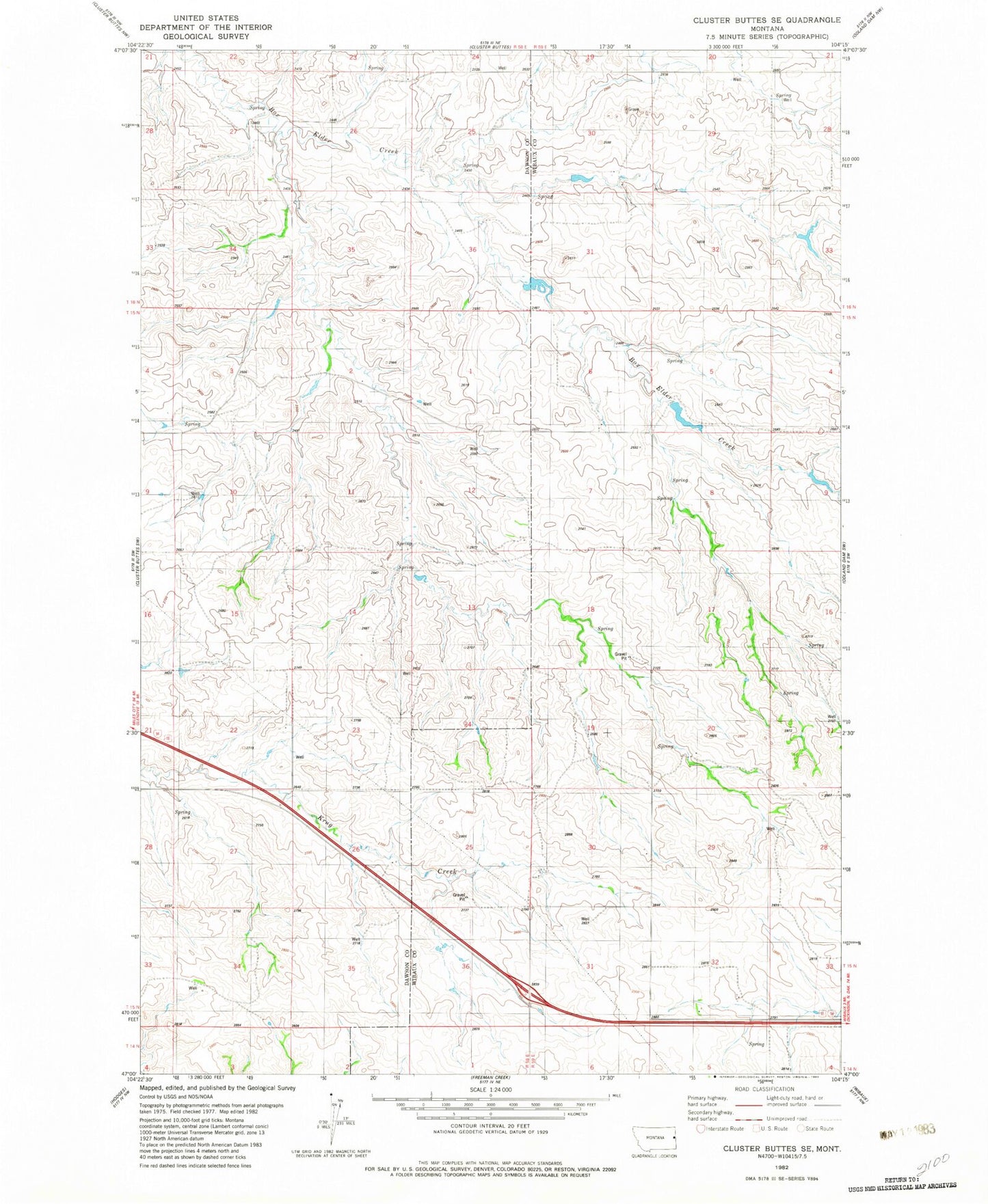
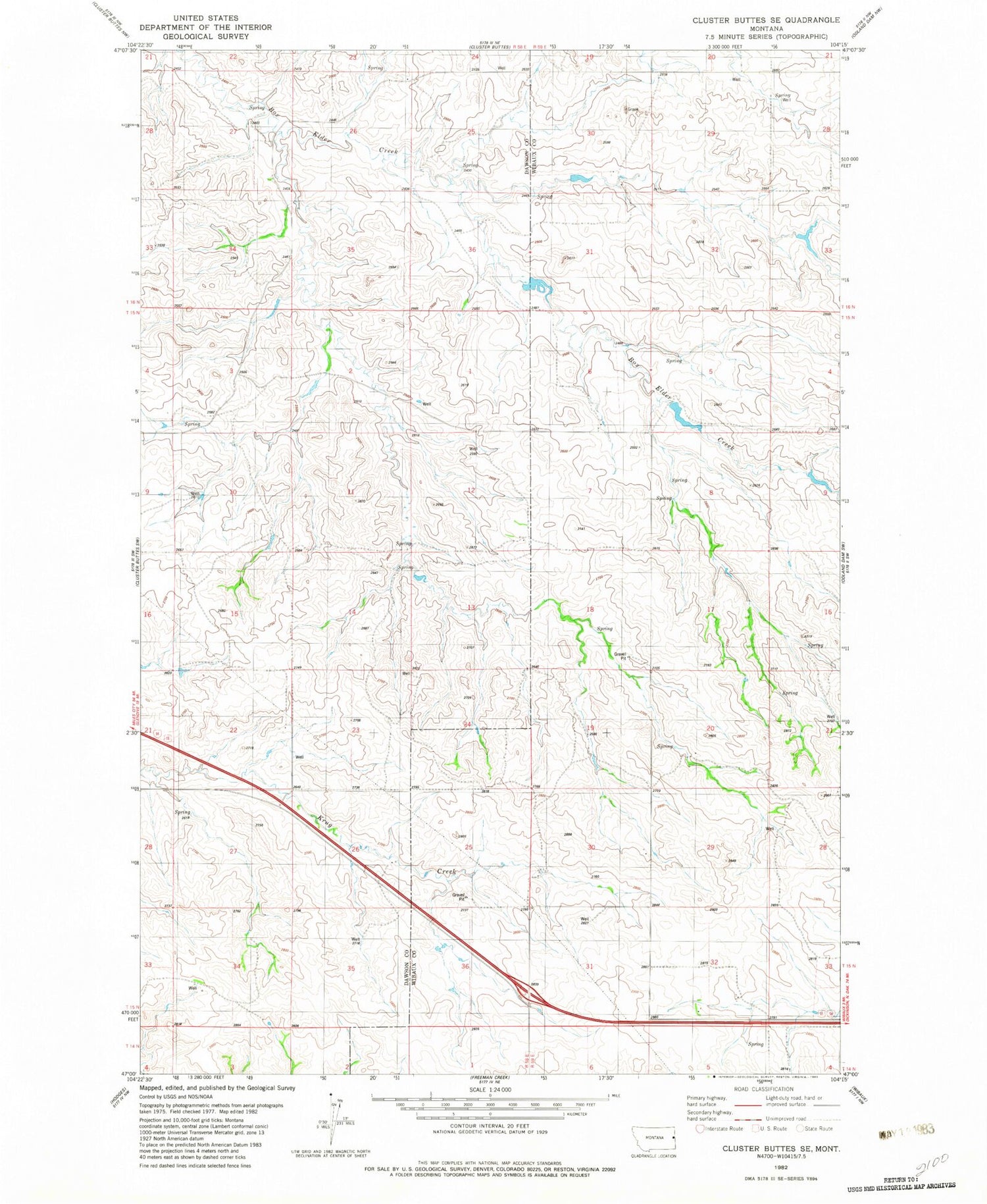
Historical USGS topographic quad map of Cluster Buttes SE in the state of Montana. Map scale may vary for some years, but is generally around 1:24,000. Print size is approximately 24" x 27"
This quadrangle is in the following counties: Dawson, Wibaux.
The map contains contour lines, roads, rivers, towns, and lakes. Printed on high-quality waterproof paper with UV fade-resistant inks, and shipped rolled.
Contains the following named places: 13N58E36BBC_01 Well, 15N58E33AC__01 Well, 15N59E07AAAA01 Well, 15N59E32CCAD01 Well, 16N58E26AAAA01 Well, 16N59E29ABA_01 Well, Argenbright School, Dahlville School, John Job Dam, O'Connor School, Parker School