MyTopo
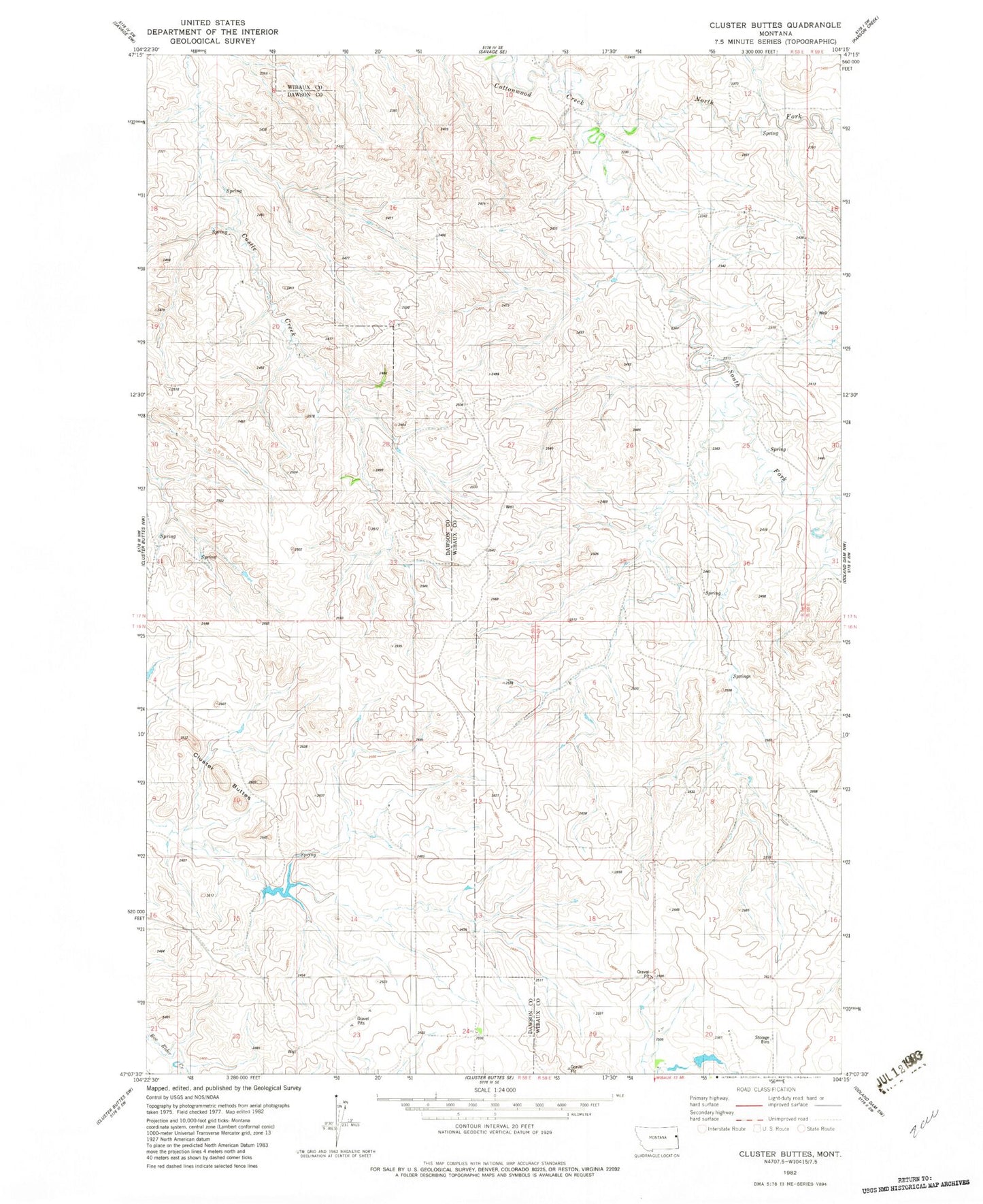
Classic USGS Cluster Buttes Montana 7.5'x7.5' Topo Map
Couldn't load pickup availability
Historical USGS topographic quad map of Cluster Buttes in the state of Montana. Map scale may vary for some years, but is generally around 1:24,000. Print size is approximately 24" x 27"
This quadrangle is in the following counties: Dawson, Wibaux.
The map contains contour lines, roads, rivers, towns, and lakes. Printed on high-quality waterproof paper with UV fade-resistant inks, and shipped rolled.
Contains the following named places: 16N58E24DA__01 Well, 16N59E07DBB_01 Well, 17N58E10ACA_01 Well, 17N58E10ADB_01 Well, 17N58E34BAA_01 Well, 17N58E35DDD_01 Well, Blyton Dam, Box Elder School, Cluster Buttes, Jet Set Dam, Ketchum School, North Fork Cottonwood Creek, South Fork Cottonwood Creek, Woodville School