MyTopo
Classic USGS Coal Bank Creek Montana 7.5'x7.5' Topo Map
Regular price
$16.95
Regular price
Sale price
$16.95
Unit price
per
Couldn't load pickup availability
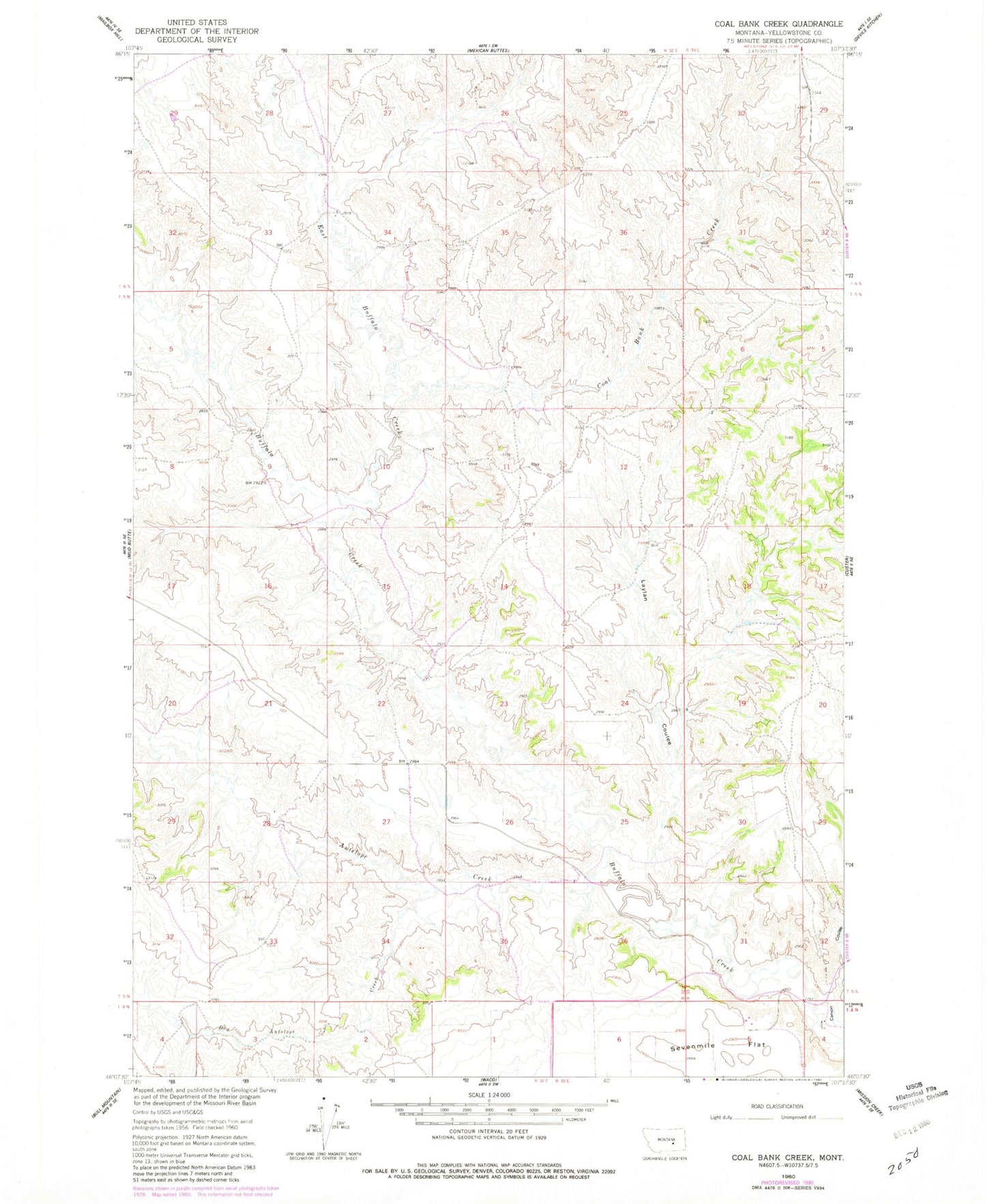
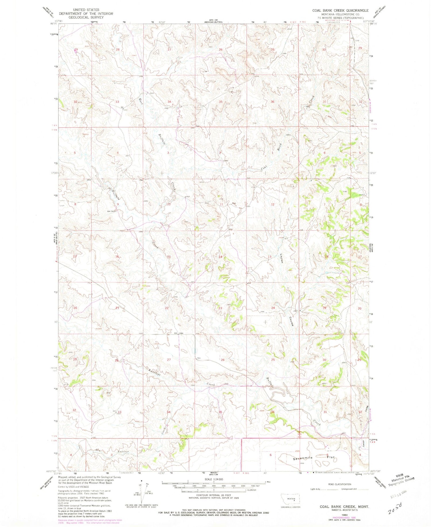
Historical USGS topographic quad map of Coal Bank Creek in the state of Montana. Map scale may vary for some years, but is generally around 1:24,000. Print size is approximately 24" x 27"
This quadrangle is in the following counties: Yellowstone.
The map contains contour lines, roads, rivers, towns, and lakes. Printed on high-quality waterproof paper with UV fade-resistant inks, and shipped rolled.
Contains the following named places: 05N32E09DCDC01 Well, 05N32E20AAAC01 Well, Antelope Creek, Carson Coulee, Coal Bank Creek, Dry Antelope Creek, East Buffalo Creek, Laylan Coulee